Egg Lake Camp Access
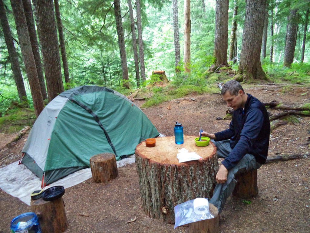
 Photo: Ilya Katsnelson, CC BY 2.0 (via Wikimedia Commons)
- 0.5 mi
- round trip
- 453 ft
- climb
- 5,489 ft
- high point
- Out and back
- route
Is Egg Lake Camp Access open right now?
Closure in the area
There's a closure order in North Cascades National Park. It doesn't name Egg Lake Camp Access, so check the source for the area it covers (3 listed).
Cascade River Road Closed for the Winter Season
Park closure covering North Cascades National Park · NPS · North Cascades National Park
Fire Closures - Trail, Area, and Camp Closures
Park closure covering North Cascades National Park · NPS · North Cascades National Park
Hozomeen Gate Remains Closed
Park closure covering North Cascades National Park · NPS · North Cascades National Park
Be Aware of Break-ins along State Route 20
Park alert covering North Cascades National Park · NPS · North Cascades National Park
Diablo Lake Boat Launch Inaccessible to Powerboats
Park alert covering North Cascades National Park · NPS · North Cascades National Park
As of · Source: NPS · North Cascades National Park. Agencies don't list every closure — check before you go.
Egg Lake Camp Access is a short, easy out-and-back hike in Washington's North Cascades National Park, within the Stephen Mather Wilderness. The route is about 0.9 miles long, with a total elevation gain of 453 feet, and it takes roughly half an hour to complete. The trail starts at a low point of about 5,177 feet and reaches a high of about 5,489 feet, and the steepest stretch comes at about 0.32 miles in, with a grade of about 45 percent. The National Park Service manages the land, and there is no fee to use the trail. The access leads to Egg Lake Camp, and the route is short enough to fit easily into a day spent exploring the surrounding wilderness. Copper Ridge Trail lies just 0.3 miles away, and the Chilliwack Trail and Hannegan Peak Trail are both within about 2.6 miles. For paddling, the Chilliwack River is about 2.4 miles off.
Local outfitters
- WHATCOM MEADOWS42 mi away
- Lutherwood Camp & Retreat Center46 mi away
Not on Roamze yet. Their page has how to reach them.
- Copper Ridge TrailHiking0.3 mi
- Chilliwack TrailHikingPhoto: Ilya Katsnelson, CC BY 2.0 (via Wikimedia Commons)2.2 mi
- Chilliwack RiverCanoeing2.4 mi
- Hannegan Peak TrailHiking2.6 mi
- Pass CreekCanoeing4.8 mi
- Mt. ShuksanRock climbing7.2 mi
- Baker CragsRock climbing8.8 mi
 Silver Fir CampgroundCampingPhoto: Recreation.gov (RIDB) / public domain9.7 mi
Source: Roamze catalog (indexable pages within 10 miles, PostGIS distance)
- Chilliwack TrailHiking · ~4 min drivePhoto: Ilya Katsnelson, CC BY 2.0 (via Wikimedia Commons)
 Lone Jack TrailHiking · ~12 min drivePhoto: U.S. Forest Service- Pacific Northwest Region, Public domain (via Wikimedia Commons)
 TOMYHOI LAKEHiking · ~15 min drivePhoto: Nwcamera1, CC BY-SA 3.0 (via Wikimedia Commons)
 Gargett Mine TrailHiking · ~15 min drivePhoto: U.S. Forest Service- Pacific Northwest Region, Public domain (via Wikimedia Commons)
- SILESIA CREEKHiking · ~13 min drivePhoto: U.S. Forest Service- Pacific Northwest Region, Public domain (via Wikimedia Commons)
 Bagley Lakes TrailHiking · ~16 min drivePhoto: U.S. Forest Service- Pacific Northwest Region, Public domain (via Wikimedia Commons)
- High Pass TrailHiking · ~15 min drivePhoto: U.S. Forest Service- Pacific Northwest Region, Public domain (via Wikimedia Commons)
 Stillwell Camp AccessHiking · ~17 min drivePhoto: daveynin — CC BY 2.0 (via Flickr)
- Tomyhoi Lake TrailHiking · ~15 min drivePhoto: Nwcamera1, CC BY-SA 3.0 (via Wikimedia Commons)
- Panorama Dome TrailHiking · ~16 min drivePhoto: U.S. Forest Service- Pacific Northwest Region, Public domain (via Wikimedia Commons)

