Luna Peak Route
- 4.2 mi
- round trip
- 5,894 ft
- climb
- 8,018 ft
- high point
- Out and back
- route
Is Luna Peak Route open right now?
Closure in the area
There's a closure order in North Cascades National Park. It doesn't name Luna Peak Route, so check the source for the area it covers (3 listed).
Cascade River Road Closed for the Winter Season
Park closure covering North Cascades National Park · NPS · North Cascades National Park
Fire Closures - Trail, Area, and Camp Closures
Park closure covering North Cascades National Park · NPS · North Cascades National Park
Hozomeen Gate Remains Closed
Park closure covering North Cascades National Park · NPS · North Cascades National Park
Be Aware of Break-ins along State Route 20
Park alert covering North Cascades National Park · NPS · North Cascades National Park
Diablo Lake Boat Launch Inaccessible to Powerboats
Park alert covering North Cascades National Park · NPS · North Cascades National Park
As of · Source: NPS · North Cascades National Park. Agencies don't list every closure — check before you go.
Luna Peak Route is a 4.2-mile out-and-back hike in Washington's North Cascades National Park, within the Stephen Mather Wilderness. The route climbs from about 2,576 feet to the summit of Luna Peak at 8,018 feet, with a total elevation gain of 5,894 feet over the round trip. The climb is front-loaded, and the route is rated expert, so it is a serious objective for experienced hikers. The trip takes about 5.5 hours, and the route is a long, steep day. The National Park Service manages the land, and the trail lies entirely within designated wilderness. Nearby, the Little Beaver Trail and Stillwell Camp Access are both about 4 miles away. Climbers can head to the Northern Pickets, about 5 miles off, and the Desolation Peak Trail is roughly 8 miles away.
Conditions and forecast on Luna Peak
Daily highs and lows, wind and the chance of precipitation at the summit and route start for the next 7 days, from the Open-Meteo model.
- Little Beaver TrailHiking3.9 mi
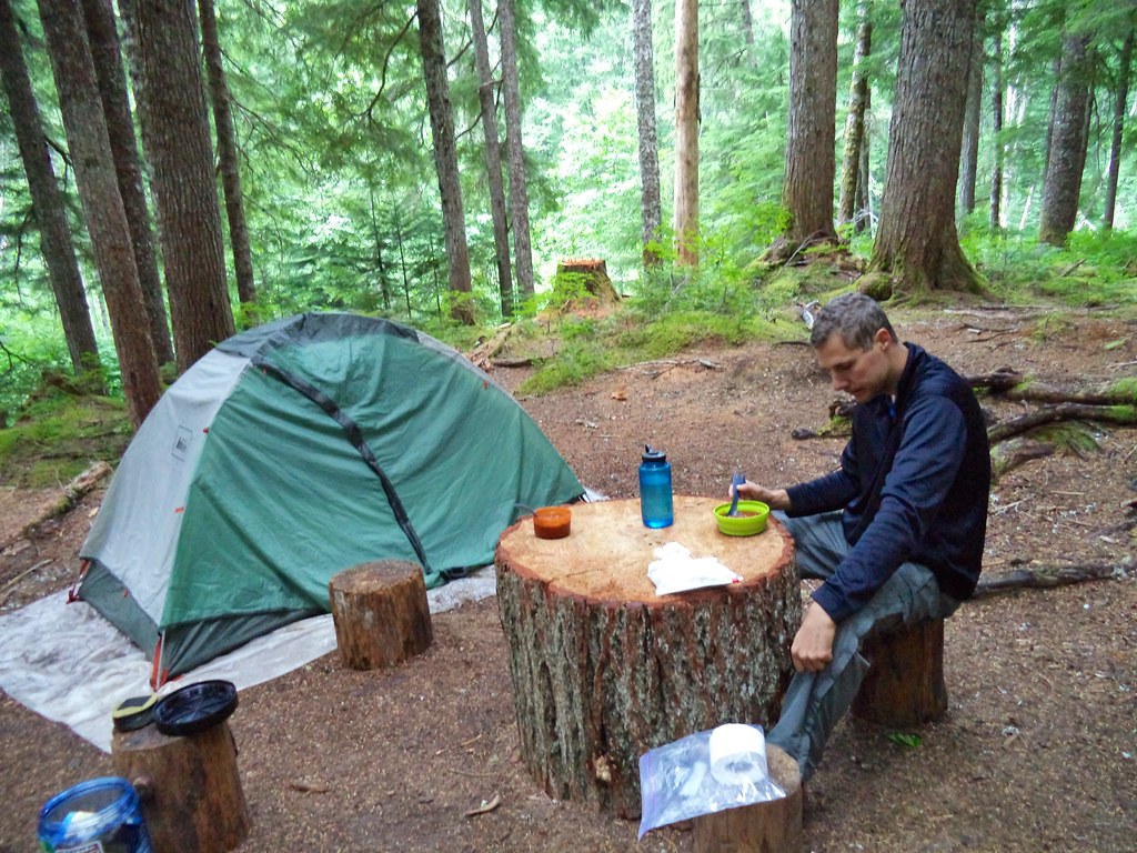 Stillwell Camp AccessHikingPhoto: daveynin — CC BY 2.0 (via Flickr)4 mi
- Northern PicketsRock climbing5.2 mi
- Southern PicketsRock climbing6.2 mi
- Desolation Peak TrailHiking8.4 mi
- Depot Creek TrailHiking8.5 mi
- Mount RedoubtRock climbing8.8 mi
- Diablo WallRock climbing9.6 mi
Source: Roamze catalog (indexable pages within 10 miles, PostGIS distance)
- Stillwell Camp AccessHiking · ~7 min drivePhoto: daveynin — CC BY 2.0 (via Flickr)
 Stetattle Creek TrailHiking · ~16 min drivePhoto: Seattle Municipal Archives from Seattle, WA, CC BY 2.0 (via Wikimedia Commons)
 Chilliwack TrailHiking · ~19 min drivePhoto: Ilya Katsnelson, CC BY 2.0 (via Wikimedia Commons)
 Thunder Knob TrialHiking · ~20 min drivePhoto: Robert Ashworth from Bellingham, WA., USA, CC BY 2.0 (via Wikimedia Commons)
 Happy Creek TrailHiking · ~19 min drivePhoto: Steven PavlovUser:Senapa/TemplateFB, CC BY-SA 3.0 (via Wikimedia Commons)
- Jack Mountain TrailHiking · ~21 min drivePhoto: Steven PavlovUser:Senapa/TemplateFB, CC BY-SA 3.0 (via Wikimedia Commons)
- Sourdough Mountain TrailHiking · ~15 min drive
- Pyramid Lake TrailHiking · ~17 min drive
- Big Beaver Camp AccessHiking · ~14 min drive
 Thunder Creek TrailHiking · ~21 min drivePhoto: Robert Ashworth from Bellingham, WA., USA, CC BY 2.0 (via Wikimedia Commons)

Route details
- Distance
- 4.2 mi round trip
- Climbing
- About 5,894 ft
- Summit
- 8,303 ft
- Difficulty
- Expert
- Time
- About 4 hours
Questions about this route
How long is the Luna Peak Route on Luna Peak?
About 4.2 mi round trip.
How much elevation gain is on the Luna Peak Route?
About 5,894 ft of climbing round trip.
How hard is the Luna Peak Route?
It is rated expert.
How long does the Luna Peak Route take?
About 4 hours round trip.
Map and trail data © OpenStreetMap contributors
