Depot Creek Trail
- 4.7 mi
- round trip
- 4,038 ft
- climb
- 5,701 ft
- high point
- Out and back
- route
Is Depot Creek Trail open right now?
Closure in the area
There's a closure order in North Cascades National Park. It doesn't name Depot Creek Trail, so check the source for the area it covers (3 listed).
Cascade River Road Closed for the Winter Season
Park closure covering North Cascades National Park · NPS · North Cascades National Park
Fire Closures - Trail, Area, and Camp Closures
Park closure covering North Cascades National Park · NPS · North Cascades National Park
Hozomeen Gate Remains Closed
Park closure covering North Cascades National Park · NPS · North Cascades National Park
Be Aware of Break-ins along State Route 20
Park alert covering North Cascades National Park · NPS · North Cascades National Park
Diablo Lake Boat Launch Inaccessible to Powerboats
Park alert covering North Cascades National Park · NPS · North Cascades National Park
As of · Source: NPS · North Cascades National Park. Agencies don't list every closure — check before you go.
Depot Creek Trail is a 9.4-mile out-and-back hike in Washington's North Cascades National Park, within the Stephen Mather Wilderness. The National Park Service manages the land, and the route starts at 5,701 feet, the highest point on the trail. The climb is back-loaded, with the bulk of the 4,038 feet of elevation gain coming in the second half of the trip. That makes the trail a hard hike, and the round trip adds up to about 4,000 feet of climbing and descending. The trail's high point is 5,701 feet, and the low point is 2,734 feet. Plan on about five hours for the trip. The route is long and steep, so pace yourself and be prepared for a full day on foot. Nearby, Mount Redoubt, a climbing area, sits about 1.8 miles away. The Little Beaver Trail and Stillwell Camp Access are both within about 5 miles. The Chilliwack River, a paddling route, is roughly 8.6 miles off.
- Mount RedoubtRock climbing1.8 mi
- Little Beaver TrailHiking4.7 mi
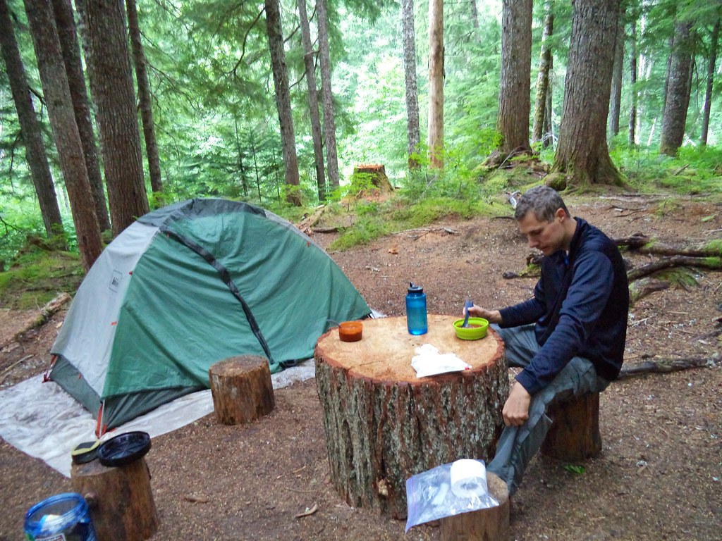 Stillwell Camp AccessHikingPhoto: daveynin — CC BY 2.0 (via Flickr)5 mi
- Luna Peak RouteHiking8.5 mi
- Chilliwack RiverCanoeing8.6 mi
 Chilliwack TrailHikingPhoto: Ilya Katsnelson, CC BY 2.0 (via Wikimedia Commons)8.8 mi
 Trail of the ObeliskHikingPhoto: Seattle Municipal Archives from Seattle, WA, CC BY 2.0 (via Wikimedia Commons)9.4 mi
- Willow Lake TrailHiking9.8 mi
Source: Roamze catalog (indexable pages within 10 miles, PostGIS distance)
- Stillwell Camp AccessHiking · ~9 min drivePhoto: daveynin — CC BY 2.0 (via Flickr)
- Chilliwack TrailHiking · ~15 min drivePhoto: Ilya Katsnelson, CC BY 2.0 (via Wikimedia Commons)
 Lone Jack TrailHiking · ~28 min drivePhoto: U.S. Forest Service- Pacific Northwest Region, Public domain (via Wikimedia Commons)
 High Pass TrailHiking · ~29 min drivePhoto: U.S. Forest Service- Pacific Northwest Region, Public domain (via Wikimedia Commons)
- Trail of the ObeliskHiking · ~16 min drivePhoto: Seattle Municipal Archives from Seattle, WA, CC BY 2.0 (via Wikimedia Commons)
- SILESIA CREEKHiking · ~28 min drivePhoto: U.S. Forest Service- Pacific Northwest Region, Public domain (via Wikimedia Commons)
- Willow Lake TrailHiking · ~17 min drive
 Stetattle Creek TrailHiking · ~31 min drivePhoto: Seattle Municipal Archives from Seattle, WA, CC BY 2.0 (via Wikimedia Commons)
- Egg Lake Camp AccessHiking · ~19 min drivePhoto: Ilya Katsnelson, CC BY 2.0 (via Wikimedia Commons)
- Luna Peak RouteHiking · ~15 min drive


Map and trail data © OpenStreetMap contributors
