Lewis & Clark Campground & RV Park
Campground
Campground · 0.8 mi from the trail
Closure in the area
There's a closure order in Columbia River Gorge National Scenic Area. It doesn't name Aldrich Butte Cutoff Trail, so check the source for the area it covers.
Eagle Creek Area and Trail Closure
Agency closure covering Columbia River Gorge National Scenic Area · Order 06-22-01-26-04 · USFS · Columbia River Gorge National Scenic Area
Eagle Creek Fire Area Closure - CRGNSA and Mt. Hood
Agency alert covering Columbia River Gorge National Scenic Area · Order 06-22-01-26-04 · USFS · Columbia River Gorge National Scenic Area
As of · Source: USFS · Columbia River Gorge National Scenic Area. Agencies don't list every closure — check before you go.
Aldrich Butte Cutoff Trail is a short, easy out-and-back hike in Washington's Columbia River Gorge National Scenic Area, managed by the Forest Service. The trail is about 0.6 miles long, and the round trip covers roughly 1.2 miles with a total elevation gain of 891 feet. The high point is 807 feet, and the steepest stretch comes at about 0.4 miles, where the grade reaches 21 percent. Summer is the most comfortable time to go. Typical averages from the nearby Bonneville Dam weather station show July and August highs around 79 to 80°F with only four or five wet days a month, while winter brings highs in the low 40s and rain on more than 20 days a month. That station sits well below the trail, so temperatures on the route run cooler. The Aldrich Butte Trail lies just 0.2 miles away, and the Cedar Creek Trail is 0.3 miles off. Paddlers can head to Hamilton Creek, about 1.9 miles away, and climbers will find the Bridge of the Gods Boulders about 2.5 miles from the trail.
Lewis & Clark Campground & RV Park
Campground
Trailhead Taproom & Outdoor Store
Bar
 If it rainsIan Poellet, CC BY-SA 4.0 · Wikimedia Commons
Places © OpenStreetMap contributors · Photos: Ian Poellet, CC BY-SA 4.0 (commons)
More in Mount Hood VillagesNot on Roamze yet. Their page has how to reach them.
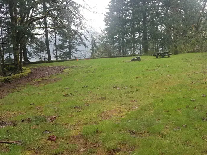 Eagle Creek Overlook Grp SiteCampingPhoto: Recreation.gov (RIDB) / public domain2.7 mi
Source: Roamze catalog (indexable pages within 10 miles, PostGIS distance)
 Cedar Mountain TrailHiking · ~1 min drivePhoto: Ryan Snyder, CC BY 2.0 (via Wikimedia Commons)
 Don's Cutoff TrailHiking · ~3 min drivePhoto: Robert Ashworth from Bellingham, WA., USA, CC BY 2.0 (via Wikimedia Commons)
 Hamilton Mountain TrailHiking · ~3 min drivePhoto: Robert Ashworth from Bellingham, WA., USA, CC BY 2.0 (via Wikimedia Commons)
 Pct - Washington Section HHiking · ~7 min drivePhoto: inkknife_2000 (7.5 million views +), CC BY-SA 2.0 (via Wikimedia Commons)
 Equestrian TrailHiking · ~3 min drivePhoto: Robert Ashworth from Bellingham, WA., USA, CC BY 2.0 (via Wikimedia Commons)
 Strawberry LoopHiking · ~3 min drivePhoto: Mike Fisher, CC BY 2.0 (via Wikimedia Commons)West Hardy Ridge TrailHiking · ~4 min drivePhoto: Robert Ashworth from Bellingham, WA., USA, CC BY 2.0 (via Wikimedia Commons)
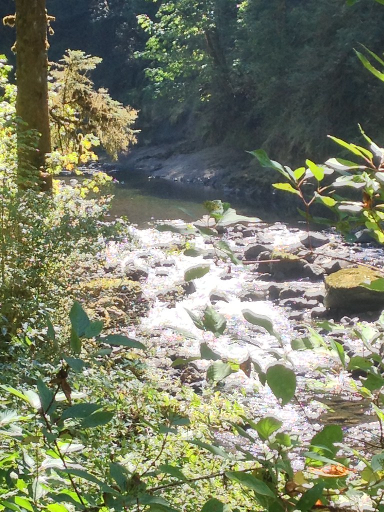 Ruckel CreekHiking · ~6 min drivePhoto: Fotos_Ohio, CC BY 2.0 (via Flickr)Hardy Creek TrailHiking · ~3 min drivePhoto: Robert Ashworth from Bellingham, WA., USA, CC BY 2.0 (via Wikimedia Commons)Strawberry LoopHiking · ~3 min drivePhoto: Mike Fisher, CC BY 2.0 (via Wikimedia Commons)
Also worth it near here
Best months: June–September. Best months have typical highs of 55–85 °F, lows of 30 °F or warmer (32 °F where the station doesn't record snow), at most one snowy day and no more than 12 wet days.
Jan
43° / 34°
21 wet · 2 snow
Feb
47° / 36°
18 wet · 1 snow
Mar
53° / 38°
20 wet
Apr
59° / 42°
18 wet
May
67° / 48°
15 wet
Jun
72° / 52°
11 wet
Jul
79° / 57°
5 wet
Aug
80° / 57°
4 wet
Sep
74° / 53°
8 wet
Oct
62° / 47°
15 wet
Nov
50° / 40°
20 wet
Dec
42° / 35°
22 wet · 1 snow
Typical high / low (°F) and days with rain or snow, 1991–2020. Measured at Bonneville Dam, OR, 2 mi away at 62 ft. The station sits about 700 ft lower than this place, so expect it a little cooler here. Source: NOAA NCEI U.S. Climate Normals 1991–2020.
Map and trail data © OpenStreetMap contributors


