Area 51
- 10 routes
- V0 – V10
- Bouldering
- May–Oct
- best months
Is Area 51 open right now?
Closure in the area
There's a closure order in Green Mountain and Finger Lakes National Forests. It doesn't name Area 51, so check the source for the area it covers (3 listed).
Klondike Fire Incident Report
Agency closure covering Green Mountain and Finger Lakes National Forests · USFS · Green Mountain and Finger Lakes National Forests
Heavily damaged or closed trails
Agency closure covering Green Mountain and Finger Lakes National Forests · USFS · Green Mountain and Finger Lakes National Forests
Glastenbury fire tower is closed to public use
Agency closure covering Green Mountain and Finger Lakes National Forests · USFS · Green Mountain and Finger Lakes National Forests
Moosalamoo Campground Water System
Agency alert covering Green Mountain and Finger Lakes National Forests · USFS · Green Mountain and Finger Lakes National Forests
As of · Source: USFS · Green Mountain and Finger Lakes National Forests. Agencies don't list every closure — check before you go.
Area 51 is a bouldering area in Vermont's Manchester Ranger District, part of the Green Mountain and Finger Lakes National Forests. The Forest Service manages the surrounding national forest land, and the climbing sits close to the Crash Site and The Arborist, both about a tenth of a mile away. The routes here are all bouldering, with grades ranging from V0 to V10. The most common are V2, and the hardest, One Small Step Sit, is V10. The area's closest neighbors include the Crash Site, The Arborist and the SPRUCE PEAK hike about 1.3 miles off, along with Bromley Shelter, a campground, at 1.6 miles. Summer is the most comfortable time to visit. A nearby weather station in Peru records typical July highs around 75°F with lows near 56°F, while winter highs typically stay in the 20s. Spruce Peak Shelter, about 2.3 miles away, offers another camping option, and Hapgood Pond, roughly 5 miles off, is a fishing destination.
- Crash SiteRock climbing0.1 mi
- The ArboristRock climbing0.1 mi
- SPRUCE PEAKHiking1.3 mi
- Bromley ShelterCamping1.6 mi
- Appalachian Trail;Long TrailHiking2.2 mi
- Spruce Peak ShelterCamping2.3 mi
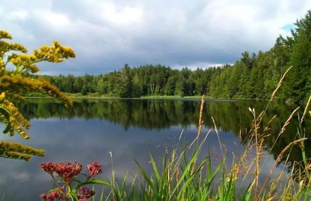 Hapgood PondPier fishingPhoto: Recreation.gov (RIDB) / public domain5.2 mi
 Otter CreekCanoeingPhoto: Ahale at English Wikipedia, Public domain (via Wikimedia Commons)7 mi
Source: Roamze catalog (indexable pages within 10 miles, PostGIS distance)
- Debris Field RightRock climbing · Next door
- Bobcat BoulderRock climbing · Next door
- The FarmhouseRock climbing · Next door
- Balance RockRock climbing · Next door
- Left ValeRock climbing · Next door
- Perfect 60Rock climbing · Next door
- BargeRock climbing · Next door
- The CobraRock climbing · Next door
- BreadloafRock climbing · Next door
- The MonolithRock climbing · Next door
Also worth it near here
 Bromley Mountain Ski ResortDownhill skiing · ~4 min drivePhoto: Jrclark, CC BY-SA 3.0 (via Wikimedia Commons)
 Bromley MountainSummit · ~4 min drivePhoto: Jared C. Benedict, CC BY-SA 4.0 (via Wikimedia Commons)
- Rootville - JenksCross-country skiing · ~5 min drive
- Emerald Lake Natural BridgeNatural arch · ~9 min drive
Best time to visit Area 51
Best months: May–October. Best months have typical highs of 55–85 °F, lows of 30 °F or warmer (32 °F where the station doesn't record snow), at most one snowy day and no more than 12 wet days.
Jan
27° / 8°
Feb
31° / 10°
Mar
38° / 17°
Apr
50° / 30°
May
64° / 42°
Jun
70° / 51°
Jul
75° / 56°
Aug
73° / 55°
Sep
67° / 47°
Oct
56° / 37°
Nov
43° / 26°
Dec
32° / 16°
Typical high / low (°F) and days with rain or snow, 1991–2020. Measured at Peru, VT, 5.2 mi away at 1,700 ft. This station doesn't record snowfall. Source: NOAA NCEI U.S. Climate Normals 1991–2020.
