Appalachian Trail;Long Trail
- 9.2 mi
- round trip
- 4,603 ft
- climb
- 3,424 ft
- high point
- Out and back
- route
Is Appalachian Trail;Long Trail open right now?
Closure in the area
There's a closure order in Green Mountain and Finger Lakes National Forests. It doesn't name Appalachian Trail;Long Trail, so check the source for the area it covers (4 listed).
Klondike Fire Incident Report
Agency closure covering Green Mountain and Finger Lakes National Forests · USFS · Green Mountain and Finger Lakes National Forests
List of trail closures post-Hurricane Helene
Park closure covering Appalachian National Scenic Trail · NPS · Appalachian National Scenic Trail
Heavily damaged or closed trails
Agency closure covering Green Mountain and Finger Lakes National Forests · USFS · Green Mountain and Finger Lakes National Forests
Glastenbury fire tower is closed to public use
Agency closure covering Green Mountain and Finger Lakes National Forests · USFS · Green Mountain and Finger Lakes National Forests
Black Bears Frequenting the McAfee Knob Area in Virginia
Park alert covering Appalachian National Scenic Trail · NPS · Appalachian National Scenic Trail
As of · Source: USFS · Green Mountain and Finger Lakes National Forests. Agencies don't list every closure — check before you go.
This is a long, steep hike of about 18 miles round trip along the Appalachian National Scenic Trail in Vermont, linking with the Long Trail on the Manchester Ranger District of the Green Mountain and Finger Lakes National Forests. The route climbs from 1,871 feet to a high point of 3,424 feet, with a total gain of about 4,600 feet. It's rated expert, and the steepest stretch comes at about 5.2 miles in, where the grade reaches 33%. The trip takes roughly 8.5 hours. Bromley Shelter, about 0.7 miles away, is the closest place to camp. Mad Tom and Right Vale are other hikes and climbing areas within a couple of miles. Catamount - 30 to 11 is a cross-country ski route nearby.
Conditions and forecast on Peru Peak
Daily highs and lows, wind and the chance of precipitation at the summit and route start for the next 7 days, from the Open-Meteo model.
- Bromley ShelterCamping0.7 mi
- Mad TomHiking1.9 mi
- Right ValeRock climbing2.1 mi
- Perfect 60Rock climbing2.2 mi
- Catamount - 30 to 11Cross-country skiing2.8 mi
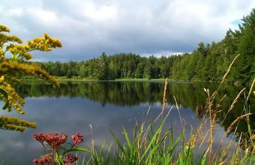 Hapgood PondPier fishingPhoto: Recreation.gov (RIDB) / public domain3 mi
- Spruce Peak ShelterCamping4.4 mi
 Otter CreekCanoeingPhoto: Ahale at English Wikipedia, Public domain (via Wikimedia Commons)6.1 mi
Source: Roamze catalog (indexable pages within 10 miles, PostGIS distance)
 Branch PondHiking · ~14 min drivePhoto: Jason Hollinger, CC BY 2.0 (via Wikimedia Commons)
- North Brookwood TrailHiking · ~14 min drivePhoto: Jason Hollinger, CC BY 2.0 (via Wikimedia Commons)
- Corridor 7 - Fr 30 to 11Hiking · ~6 min drive
- Appalachian Trail;Long TrailHiking · ~11 min drive
- East DorsetHiking · ~5 min drive
- Mad TomHiking · ~3 min drive
- Appalachian Trail;Long TrailHiking · ~9 min drive
- SPRUCE PEAKHiking · ~6 min drive
- Hapgood NatureHiking · ~5 min drive
- Dorset HollowHiking · ~11 min drive
Also worth it near here


Route details
- Distance
- 9.2 mi round trip
- Climbing
- About 4,603 ft
- Summit
- 3,429 ft
- Difficulty
- Expert
- Time
- About 4.5 hours
Questions about this route
How long is the Appalachian Trail;Long Trail on Peru Peak?
About 9.2 mi round trip.
How much elevation gain is on the Appalachian Trail;Long Trail?
About 4,603 ft of climbing round trip.
How hard is the Appalachian Trail;Long Trail?
It is rated expert.
How long does the Appalachian Trail;Long Trail take?
About 4.5 hours round trip.
Map and trail data © OpenStreetMap contributors
