Lakeshore
 Photo: J Zapell, Public domain (via Wikimedia Commons)
- 10.8 mi
- distance
- 1,417 ft
- climb
Is Lakeshore open right now?
Alert in the area
The Forest Service lists 2 alerts for Fishlake National Forest.
PST 66 Rock Canyon Trail Temporarily Closed
Agency alert covering Fishlake National Forest · USFS · Fishlake National Forest
TERMINATION OF STAGE 1 FIRE RESTRICTION ORDER
Agency alert covering Fishlake National Forest · Order 0408-26-10 · USFS · Fishlake National Forest
As of · Source: USFS · Fishlake National Forest. Agencies don't list every closure — check before you go.
Lakeshore is a mountain biking route in Utah's Fishlake National Forest, within the Fremont River Ranger District. The Forest Service manages the land, and the ride covers about 11 miles with an elevation gain of about 1,400 feet, from a low point around 8,850 feet to a high of about 10,000 feet. The route is long and climbs steadily, so plan for a full day. The nearby Mackinaw Recreation Site and Bowery Creek Recreation Site are each about a mile away, and the Lakeshore Trail is just over a mile off if you want to pair a ride with a hike.
Local outfitters
- Sand Creek RV Park & Campground22 mi away
- Big Rock Adventure31 mi away
Not on Roamze yet. Their page has how to reach them.
- Mackinaw - Rec SiteCamping1 mi
- Bowery Creek - Rec SiteCamping1 mi
- MackinawCamping1 mi
- Lakeshore TrailHiking1.1 mi
- Pelican CanyonHiking1.8 mi
 Doctor CreekHikingPhoto: J Zapell, Public domain (via Wikimedia Commons)2.4 mi
- South of the Border BoulderingRock climbing3.9 mi
- Back to the Forest Boulder Field (National Forest that is...)Rock climbing4 mi
Source: Roamze catalog (indexable pages within 10 miles, PostGIS distance)
 Cold SpringsMountain biking · ~26 min drivePhoto: runt35, CC BY 3.0 (via Wikimedia Commons)
- Bare SpotMountain biking · ~26 min drivePhoto: runt35, CC BY 3.0 (via Wikimedia Commons)
 Indian SpringsMountain biking · ~28 min drivePhoto: runt35, CC BY 3.0 (via Wikimedia Commons)
- Great Western Trail AlternateMountain biking · ~29 min drivePhoto: runt35, CC BY 3.0 (via Wikimedia Commons)
- Middle RangerMountain biking · ~29 min drivePhoto: runt35, CC BY 3.0 (via Wikimedia Commons)
 Trail 2092Mountain biking · ~30 min drivePhoto: runt35, CC BY 3.0 (via Wikimedia Commons)
 Great Western Trail, LoaMountain biking · ~32 min drivePhoto: runt35, CC BY 3.0 (via Wikimedia Commons)
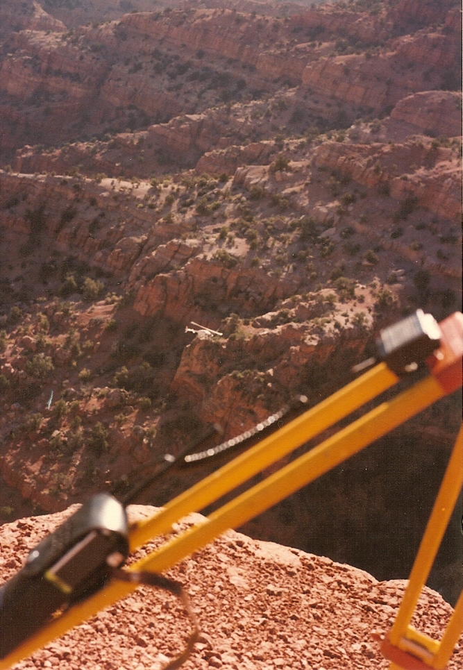 Crazy HollowMountain biking · ~60 min drivePhoto: Lorne Kelly, CC BY-SA 3.0 (via Wikimedia Commons)
- Hell's HoleMountain biking · ~27 min drivePhoto: runt35, CC BY 3.0 (via Wikimedia Commons)
- Crater-Ivie CanyonMountain biking · ~6 min drive
Map and trail data © OpenStreetMap contributors
