Valley View Camp
Campground
Campground · 3.4 mi from the trail
 Photo: Chris Light, CC BY-SA 4.0 (via Wikimedia Commons)
No closures listed
The Forest Service lists no closures for Uinta-Wasatch-Cache National Forest.
As of · Source: USFS · Uinta-Wasatch-Cache National Forest. Agencies don't list every closure — check before you go.
Lewis Peak is a summit in the Ogden Ranger District of Uinta-Wasatch-Cache National Forest in northern Utah, about 3 miles from North Ogden. The Forest Service manages the surrounding land. Several other spots sit close by. Garner Canyon Trail is under a mile away and City View is about a mile off. Climbers have Madison Wall and North Ogden Bouldering a little over a mile away, and the Ogden River is about 2.6 miles from the peak for paddling.
Valley View Camp
Campground
 If it rainsNtsimp, Public domain · Wikimedia Commons
Places © OpenStreetMap contributors, Places © Overture Maps Foundation · Photos: Ntsimp, Public domain (commons)
More in ParadiseDaily highs and lows, wind and the chance of precipitation at the summit and route start for the next 7 days, from the Open-Meteo model.
Elevation from USGS 3D Elevation Program terrain data (about 10 m resolution).
8,033 ft (2,448 m).
One: Lewis Peak Trail.


 Ogden RiverCanoeingPhoto: GreenGlass1972, Public domain (via Wikimedia Commons)2.6 mi
Source: Roamze catalog (indexable pages within 10 miles, PostGIS distance)
 Mount OgdenSummit · ~10 min drivePhoto: GreenGlass1972 at en.wikipedia, Public domain (via Wikimedia Commons)Ben LomondSummit · ~11 min drivePhoto: Joe Tordiff, CC BY-SA 2.0 (via Wikimedia Commons)Willard PeakSummit · ~13 min drivePhoto: Intermountain Forest Service, USDA Region 4 Photography, Public domain (via Wikimedia Commons)
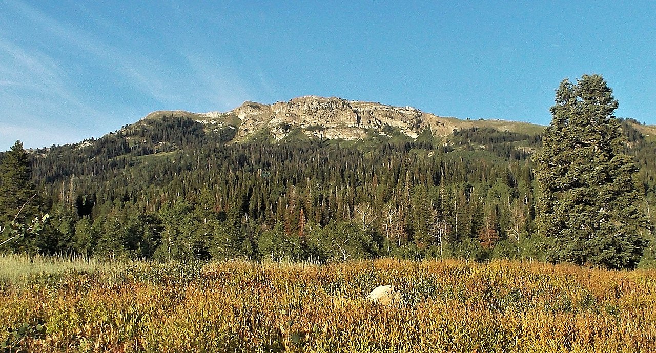 Bountiful PeakSummit · ~38 min drivePhoto: Andrey Zharkikh, CC BY 2.0 (via Wikimedia Commons)
 Elephant HeadSummit · ~45 min drivePhoto: Chris Light, CC BY-SA 4.0 (via Wikimedia Commons)
 Frary PeakSummit · ~46 min drivePhoto: The Utahraptor (talk), CC BY 3.0 (via Wikimedia Commons)
 Little MountainSummit · ~48 min drivePhoto: An Errant Knight, CC BY-SA 4.0 (via Wikimedia Commons)
 Mendon PeakSummit · ~49 min drivePhoto: Allbillsnomoney, CC BY-SA 3.0 (via Wikimedia Commons)
 Grandview PeakSummit · ~53 min drivePhoto: Kvforester, CC BY-SA 4.0 (via Wikimedia Commons)
 Ensign PeakSummit · ~57 min drivePhoto: Beneathtimp, CC0 (via Wikimedia Commons)
Also worth it near here
Ogden RiverCanoeing · ~4 min drivePhoto: GreenGlass1972, Public domain (via Wikimedia Commons) Hummingbird WallRock climbing · ~5 min drivePhoto: Intermountain Forest Service, USDA Region 4 Photography, Public domain (via Wikimedia Commons)
