Boat Mesa
 Photo: Chris Light, CC BY-SA 4.0 (via Wikimedia Commons)
- 8,076 ft
- summit
- National Park Service
- managed by
- May–Oct
- best months
Is Boat Mesa open right now?
Closure in the area
There's a closure order in Bryce Canyon National Park. It doesn't name Boat Mesa, so check the source for the area it covers (2 listed).
Main Road Status
Park closure covering Bryce Canyon National Park · NPS · Bryce Canyon National Park
Trail Closure Due to Recent Weather
Park closure covering Bryce Canyon National Park · NPS · Bryce Canyon National Park
Current Fire Restrictions
Park alert covering Bryce Canyon National Park · NPS · Bryce Canyon National Park
As of · Source: NPS · Bryce Canyon National Park. Agencies don't list every closure — check before you go.
Boat Mesa is a summit of 8,076 feet in Bryce Canyon National Park in Utah, managed by the National Park Service. The nearest town is Bryce Canyon City, about 3 miles away. Summer is the most comfortable time to visit. Typical averages from a nearby weather station show July highs around 80°F with lows near 52°F, while winter highs stay in the upper 30s. The Fairyland Loop Trailhead sits about half a mile away, and the Tower Bridge and Fairyland Loop Trailheads are about 1.2 miles off. North Campground and Sunset Campground are both about 1.3 miles away.
Conditions and forecast
Daily highs and lows, wind and the chance of precipitation at the summit for the next 7 days, from the Open-Meteo model.
- Summit elevation
- 8,076 ft
- Land manager
- National Park Service
Elevation from USGS 3D Elevation Program terrain data (about 10 m resolution).
We don't know of a mapped trail or route to the summit of Boat Mesa. Plan the approach with local maps, a guidebook or a local guide, and check conditions before you go.
Questions about Boat Mesa
How tall is Boat Mesa?
8,076 ft (2,462 m).
Is there a trail to the top of Boat Mesa?
We don't know of a mapped trail or route to the summit. Plan the approach with local maps, a guidebook or a local guide.
 The Cathedral7,823 ft · Utah2 routes2.1 mi awayPhoto: George A. Grant, Public domain (via Wikimedia Commons)
 Powell Point10,214 ft · Utah1 route14 mi awayPhoto: A. E. Crane, U.S. Department of Transportation, Public domain (via Wikimedia Commons)
- Adams Head10,428 ft · Utah1 route20 mi away
- No Mans Mesa6,216 ft · Utah2 routes28 mi away
- Horse Valley Peak10,573 ft · Utah1 route32 mi away
- Valentine Peak8,043 ft · Utah1 route37 mi away
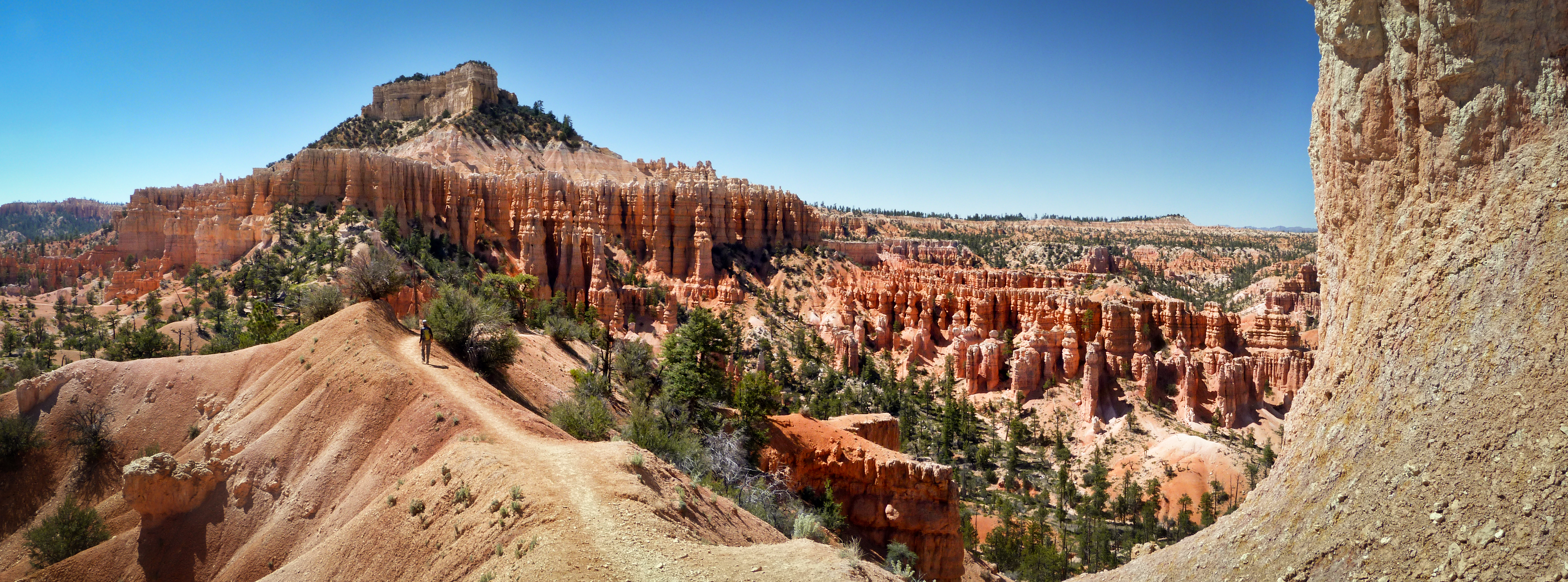 Fairyland Loop TrailheadHikingPhoto: NPS Photo / Brian Roanhorse0.5 mi
 Ruby Rim Loop A TrailMountain bikingPhoto: brewbooks from near Seattle, USA, CC BY-SA 2.0 (via Wikimedia Commons)1.1 mi
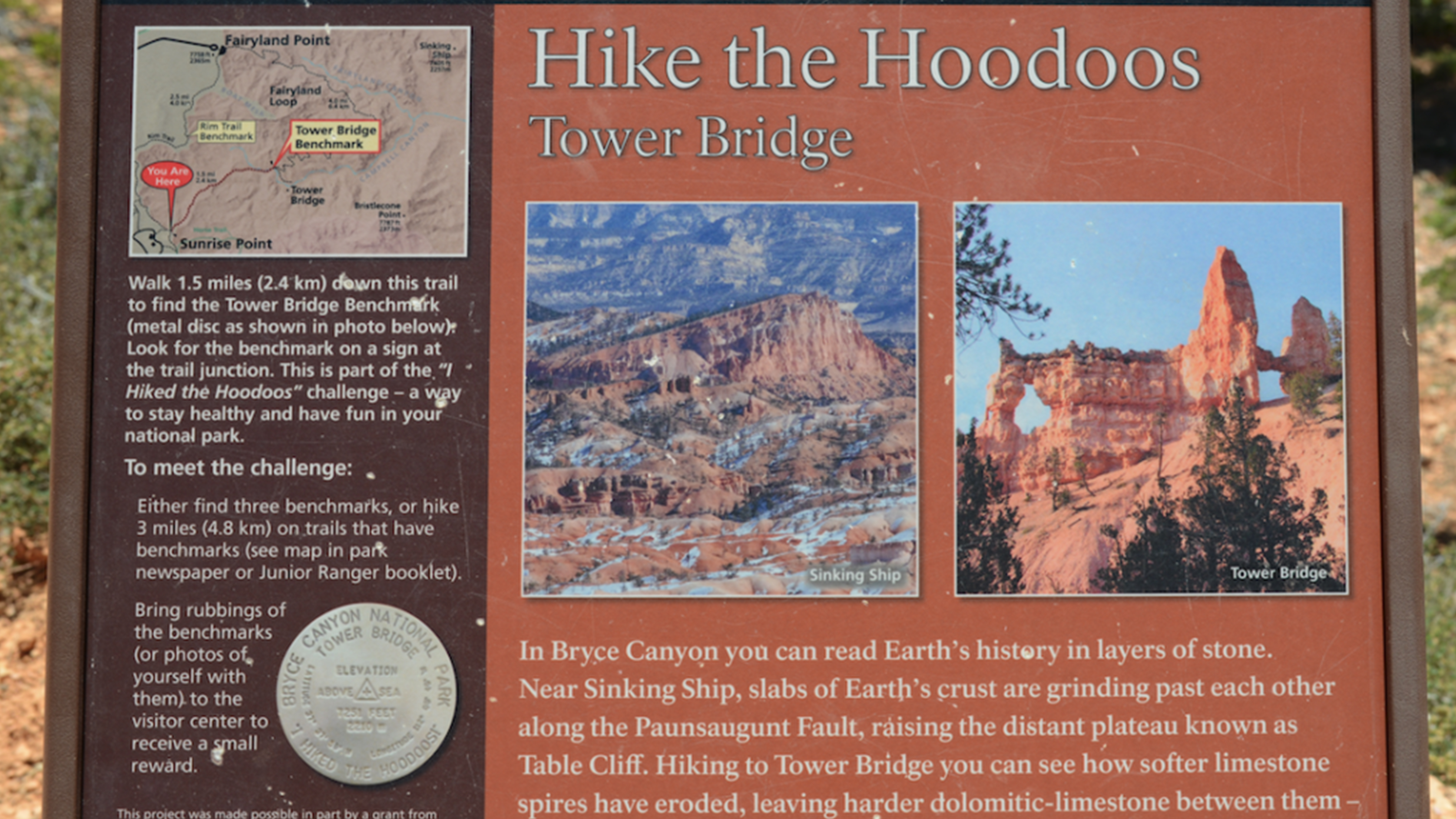 Tower Bridge Hike the Hoodoos waysideHikingPhoto: NPS Photo1.2 mi
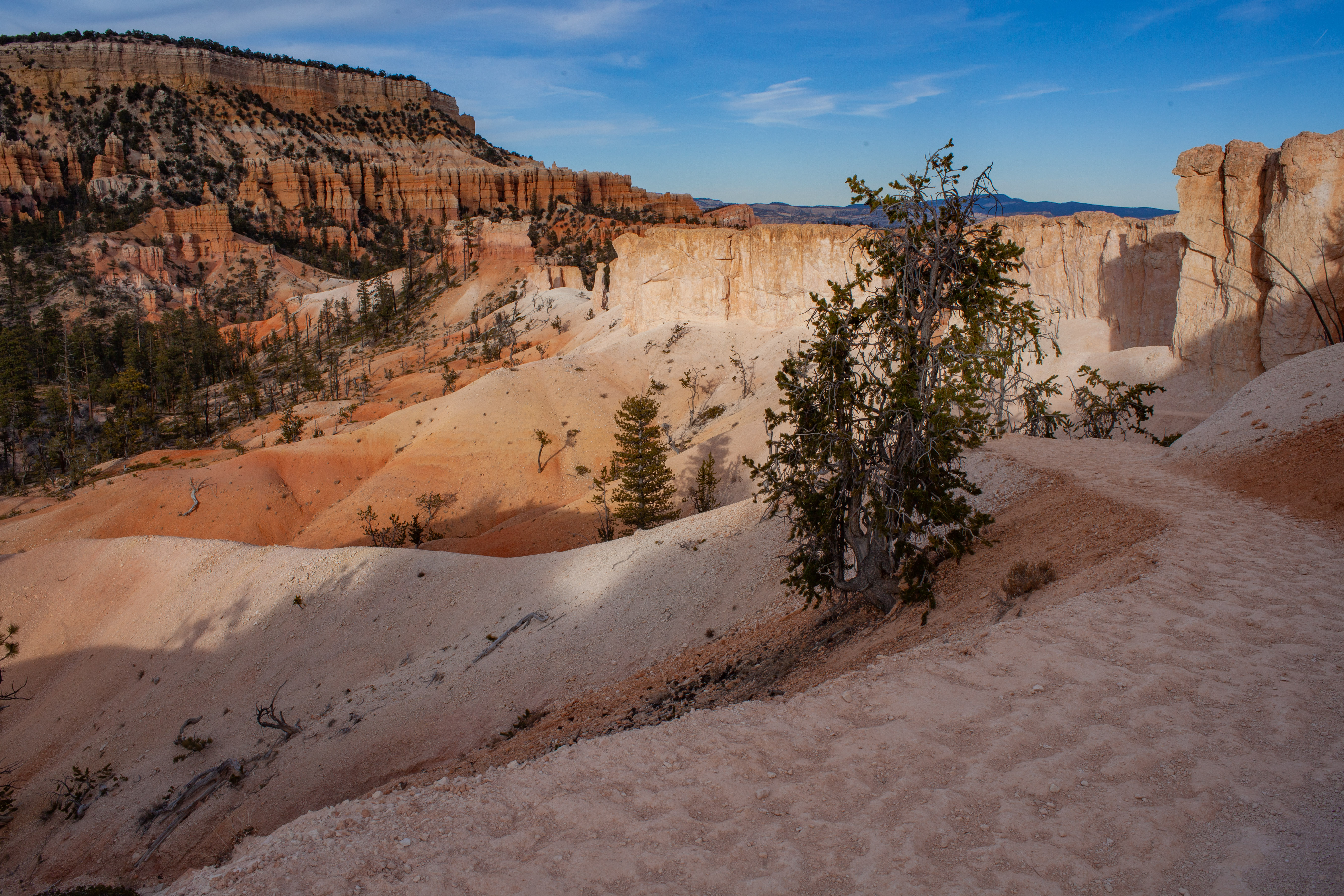 Tower Bridge and Fairyland Loop TrailheadsHikingPhoto: NPS Photo / Peter Densmore1.2 mi
- North Campground (UT)Camping1.3 mi
- Sunset Campground (UT)Camping1.3 mi
- Kings CreekCamping5.9 mi
- Powell Ranger DistrictLake fishing8.7 mi
Source: Roamze catalog (indexable pages within 10 miles, PostGIS distance)
 Mormon TempleSummit · ~2 min drivePhoto: George A. Grant, Public domain (via Wikimedia Commons)
 Sinking ShipSummit · ~3 min drivePhoto: Christopher Michel, CC BY 2.0 (via Wikimedia Commons)
- The CathedralSummit · ~4 min drivePhoto: George A. Grant, Public domain (via Wikimedia Commons)
 Flake MountainSummit · ~14 min drivePhoto: An Errant Knight, CC BY-SA 4.0 (via Wikimedia Commons)
- Powell PointSummit · ~24 min drivePhoto: A. E. Crane, U.S. Department of Transportation, Public domain (via Wikimedia Commons)
 Brian HeadSummit · ~1h 5m drivePhoto: brewbooks from near Seattle, USA, CC BY-SA 2.0 (via Wikimedia Commons)
 P HillSummit · ~1h 7m drivePhoto: An Errant Knight, CC BY-SA 4.0 (via Wikimedia Commons)
 Anderson MountainSummit · ~1h 8m drivePhoto: YubYub41, CC BY-SA 3.0 (via Wikimedia Commons)
 Coyote ButtesSummit · ~1h 21m drivePhoto: Bureau of Land Management, Public domain (via Wikimedia Commons)
 Mountain of MysterySummit · ~1h 25m drivePhoto: benito roveran, CC BY 2.0 (via Wikimedia Commons)
Best time to visit Boat Mesa
Best months: May–October. Best months have typical highs of 55–85 °F, lows of 30 °F or warmer (32 °F where the station doesn't record snow), at most one snowy day and no more than 12 wet days.
Jan
37° / 17°
6 wet
Feb
39° / 18°
7 wet
Mar
46° / 23°
7 wet
Apr
54° / 29°
6 wet
May
63° / 37°
5 wet
Jun
75° / 45°
4 wet
Jul
80° / 52°
8 wet
Aug
77° / 50°
10 wet
Sep
70° / 42°
7 wet
Oct
58° / 32°
5 wet
Nov
46° / 23°
5 wet
Dec
37° / 17°
6 wet
Typical high / low (°F) and days with rain or snow, 1991–2020. Measured at Bryce Canyon Np Hqrs, UT, 1.4 mi away at 7,890 ft. This station doesn't record snowfall. Source: NOAA NCEI U.S. Climate Normals 1991–2020.
