Powell Ranger District
- May–Oct
- best months
Is Powell Ranger District open right now?
Alert in the area
The Forest Service lists 3 alerts for Dixie National Forest.
Duck Creek OHV Trail Closure
Agency alert covering Dixie National Forest · Order 0407-26-11 · USFS · Dixie National Forest
Pine Valley Ranger District Area and Trail and Road Closure
Agency alert covering Dixie National Forest · Order 0407-26-01 · USFS · Dixie National Forest
Cedar City Temporary Road Closure Webster Flat Road (Order 0407-25-02)
Agency alert covering Dixie National Forest · Order 0407-25-02 · USFS · Dixie National Forest
As of · Source: USFS · Dixie National Forest. Agencies don't list every closure — check before you go.
The Powell Ranger District is a unit of the Dixie National Forest in southern Utah, managed by the Forest Service. It is a district rather than a single trail or lake, so it works as a base for exploring the surrounding area, with several trails and campgrounds within a few miles. Summer is the most comfortable time to visit. Typical averages from a nearby weather station at Bryce Canyon National Park show July highs around 80°F with lows near 52°F, while winter highs stay in the upper 30s. Thunder Mountain Trail and Grand View Trail are both within about 2 miles, and Red Canyon Campground is about 4.4 miles away. For mountain biking, the Thunder Mtn Spur is roughly 2.9 miles off.
Local outfitters
- Henrie's Hitch-N-Post13 mi away
- Bear Valley RV & Campground21 mi away
Not on Roamze yet. Their page has how to reach them.
Best time to go · May–Oct
Best time to visit Powell Ranger District
Best months: May–October. Best months have typical highs of 55–85 °F, lows of 30 °F or warmer (32 °F where the station doesn't record snow), at most one snowy day and no more than 12 wet days.
Jan
37° / 17°
6 wet
Feb
39° / 18°
7 wet
Mar
46° / 23°
7 wet
Apr
54° / 29°
6 wet
May
63° / 37°
5 wet
Jun
75° / 45°
4 wet
Jul
80° / 52°
8 wet
Aug
77° / 50°
10 wet
Sep
70° / 42°
7 wet
Oct
58° / 32°
5 wet
Nov
46° / 23°
5 wet
Dec
37° / 17°
6 wet
Typical high / low (°F) and days with rain or snow, 1991–2020. Measured at Bryce Canyon Np Hqrs, UT, 7.5 mi away at 7,890 ft. This station doesn't record snowfall. Source: NOAA NCEI U.S. Climate Normals 1991–2020.
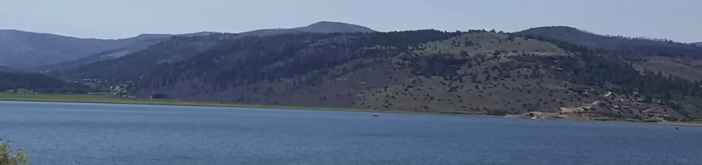
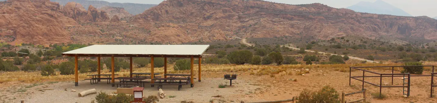
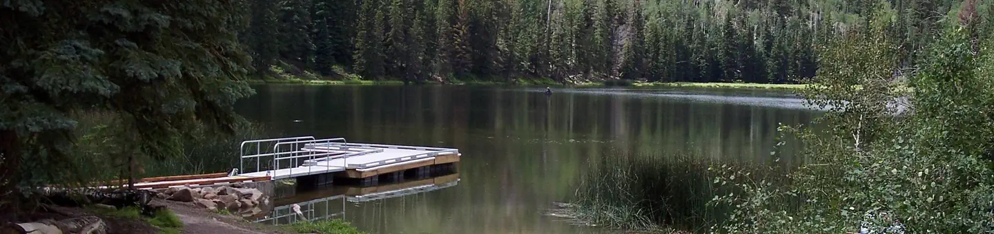
Keep exploring — more waters worth the drive
SEE
Panguitch Lake
~34 min drive
SEE
Castle Creek Reservoir
~29 min drive
Castle Creek Reservoir is a 21-acre reservoir near Alton, Utah, at about 7,384 feet.
SEE
Panguitch Lake
~31 min drive
SEE
Horse Lake
~38 min drive
Horse Lake is a 5-acre lake near Panguitch, Utah, at about 9,329 feet.
SEE
Cedar City Ranger District
~39 min drive
SEE
Red Creek Reservoir
~42 min drive
Red Creek Reservoir is a 38-acre reservoir near Paragonah, Utah, at about 7,805 feet. It is managed by the U.S. Forest Service.
SEE
Navajo Lake
~49 min drive
Navajo Lake is a lake near Duck Creek Village, Utah, at about 9,040 feet.
SEE
Nipple Lake
~50 min drive
Nipple Lake is a 92-acre lake near Kanab, Utah, at about 5,570 feet. It is managed by the Bureau of Land Management.
SEE
Long Willow Bottom
~50 min drive
SEE
Round Willow Bottom
~50 min drive
Also worth it near here
 Photo: inkknife_2000 (7.5 million views +), CC BY-SA 2.0 (via Wikimedia Commons)
Thunder Mountain Trail
~3 min drive
 Photo: Frans-Banja Mulder, CC BY 3.0 (via Wikimedia Commons)
Castle Bridge Trail
~7 min drive
 Photo: Olivier Bruchez — CC BY-SA 2.0 (via Flickr)
Bryce Canyon Pines RV Park
~8 min drive
SEE
Tropic Reservoir Boat Ramp
~9 min drive
