Nizhoni
Campground
The next 6 weekends are full on Recreation.gov
Alert in the area
The Forest Service lists an alert for Monticello Ranger District.
Hazardous Road Conditions – Moab Monticello Ranger Districts 11.4.2026
Agency alert covering Monticello Ranger District · USFS · Monticello Ranger District
As of · Source: USFS · Monticello Ranger District. Agencies don't list every closure — check before you go.
Skyline is a short mountain biking route in Utah's Manti-La Sal National Forest, within the Monticello Ranger District. The Forest Service manages the land, and the ride covers about 0.6 miles with a total elevation gain of 542 feet, climbing from a low point of 8,222 feet to a high of 8,789 feet. The route sits close to several other trails. Skyline Trail is about 0.3 miles away, and Mule Canyon Trail and Tuerto are each within half a mile. For an overnight stay, Nizhoni campground is about 4.9 miles off.
Nizhoni
Campground
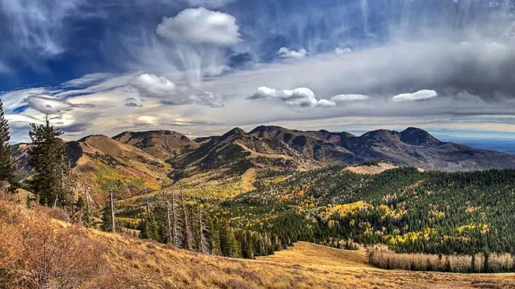
 If it rainsDaBler, CC BY-SA 3.0 · Wikimedia Commons
Places © OpenStreetMap contributors, Places © Overture Maps Foundation · Photos: DaBler, CC BY-SA 3.0 (commons)
More in MonticelloNot on Roamze yet. Their page has how to reach them.
 NizhoniCampingPhoto: Recreation.gov (RIDB) / public domain4.9 mi
Source: Roamze catalog (indexable pages within 10 miles, PostGIS distance)
 Lyman Canyon OverlookMountain biking · ~34 min drivePhoto: brewbooks from near Seattle, USA, CC BY-SA 2.0 (via Wikimedia Commons)
 Bears Ears LoopMountain biking · ~36 min drivePhoto: brewbooks from near Seattle, USA, CC BY-SA 2.0 (via Wikimedia Commons)Short Point TrailMountain biking · ~36 min drivePhoto: brewbooks from near Seattle, USA, CC BY-SA 2.0 (via Wikimedia Commons)
Also worth it near here
Map and trail data © OpenStreetMap contributors


