Nizhoni
Campground
The next 7 weekends are full on Recreation.gov
Alert in the area
The Forest Service lists an alert for Monticello Ranger District.
Hazardous Road Conditions – Moab Monticello Ranger Districts 11.4.2026
Agency alert covering Monticello Ranger District · USFS · Monticello Ranger District
As of · Source: USFS · Monticello Ranger District. Agencies don't list every closure — check before you go.
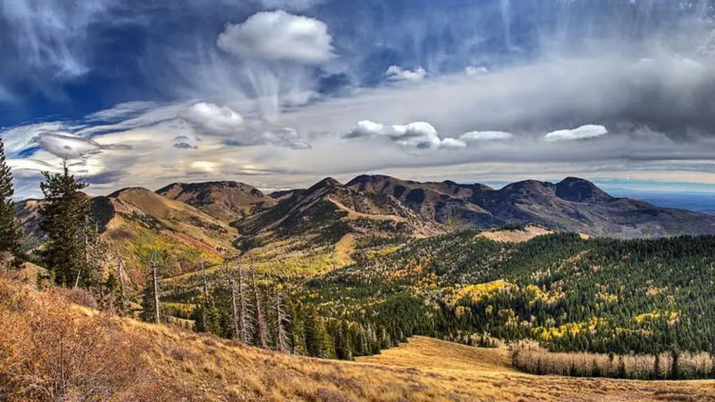
Tuerto is a hard, out-and-back hike in the Monticello Ranger District of Manti-La Sal National Forest in southern Utah. The route covers about 12 miles, with an elevation gain of roughly 1,500 feet, from a low point around 7,600 feet to a high of about 8,500 feet. The trail is on natural surface, and horses are allowed. Bikes are not. Summer is the most comfortable time to go. Typical averages from a nearby weather station at Monticello run to highs in the upper 70s in June and low 80s in July, but that station sits well below the high point, so temperatures up top run cooler. The hike starts close to Mule Canyon Trail and the Trough Canyon Trail, both within half a mile. Nizhoni campground is about 5 miles away, and Monticello Lake Fishing Site is about 9 miles off.
Nizhoni
Campground
 If it rainsDaBler, CC BY-SA 3.0 · Wikimedia Commons
Places © OpenStreetMap contributors · Photos: DaBler, CC BY-SA 3.0 (commons)
More in MonticelloNot on Roamze yet. Their page has how to reach them.
 NizhoniCampingPhoto: Recreation.gov (RIDB) / public domain5.4 mi
Source: Roamze catalog (indexable pages within 10 miles, PostGIS distance)
 Shay Ridge TrailHiking · ~7 min drivePhoto: Ken Lund from Reno, Nevada, USA, CC BY-SA 2.0 (via Wikimedia Commons)INDIAN CRK RIM LOOP EXTHiking · ~10 min drivePhoto: Ken Lund from Reno, Nevada, USA, CC BY-SA 2.0 (via Wikimedia Commons)
 Aspen FlatHiking · ~8 min drivePhoto: Ken Lund from Reno, Nevada, USA, CC BY-SA 2.0 (via Wikimedia Commons)
 Red Ledges Access TrailHiking · ~10 min drivePhoto: Ken Lund from Reno, Nevada, USA, CC BY-SA 2.0 (via Wikimedia Commons)Spring Creek TrailHiking · ~12 min drivePhoto: Ken Lund from Reno, Nevada, USA, CC BY-SA 2.0 (via Wikimedia Commons)5463 to 5020 TrailHiking · ~11 min drivePhoto: Ken Lund from Reno, Nevada, USA, CC BY-SA 2.0 (via Wikimedia Commons)
Best months: May–October. Best months have typical highs of 55–85 °F, lows of 30 °F or warmer (32 °F where the station doesn't record snow), at most one snowy day and no more than 12 wet days.
Jan
37° / 17°
Feb
41° / 20°
Mar
50° / 26°
Apr
58° / 31°
May
67° / 39°
Jun
79° / 48°
Jul
84° / 55°
Aug
81° / 54°
Sep
74° / 46°
Oct
62° / 36°
Nov
48° / 26°
Dec
38° / 17°
Typical high / low (°F) and days with rain or snow, 1991–2020. Measured at Monticello #2, UT, 14.1 mi away at 7,086 ft. The station sits about 1,400 ft lower than this place, so expect it a little cooler here. This station doesn't record snowfall. Source: NOAA NCEI U.S. Climate Normals 1991–2020.

