Uinta River Trail
- 3.7 mi
- round trip
- 1,868 ft
- climb
- 8,213 ft
- high point
- Out and back
- route
- May–Sep
- best months
Is Uinta River Trail open right now?
Alert in the area
The Forest Service lists 2 alerts for Ashley National Forest.
Anvil Draw Boat Ramp Temporary Closure
Agency alert covering Ashley National Forest · Order 0401-26-01-03 · USFS · Ashley National Forest
Flaming Gorge Reservoir Water Levels
Agency alert covering Ashley National Forest · USFS · Ashley National Forest
As of · Source: USFS · Ashley National Forest. Agencies don't list every closure — check before you go.
The Uinta River Trail is a 7.3-mile out-and-back hike in Utah's Ashley National Forest, within the Roosevelt Ranger District. The trail starts at about 8,213 feet and climbs to a high point of 8,213 feet, which makes it a steady, moderate route with a total gain of 1,868 feet. The steepest stretch comes at about mile 1, where the grade reaches 10 percent. Summer is the most comfortable time to go. Typical averages from the nearby Moon Lake weather station, at a similar elevation, show July and August highs around 77°F with lows near 48°F. Winter is cold, with January highs around 31°F and lows near 7°F. The hike takes about 3.5 hours. The trail sits close to several other routes. Chain Lakes-Atwood is just 0.1 mile away, the Uinta River hike is 0.4 mile off, and the Old Chain Lakes Trail is 0.9 mile away. Kidney Lakes lies about 7 miles from the trail.
Local outfitters
- Dutch John Resort At Flaming Gorge45 mi away
Not on Roamze yet. Their page has how to reach them.
- Chain Lakes-AtwoodHiking0.1 mi
- Uinta RiverHiking0.4 mi
- Old Chain Lakes TrailHiking0.9 mi
- Lily Pad TrailHiking2.1 mi
- LowlineHiking6.6 mi
- Fox-Queant Pass TrailHiking7 mi
- SHALE-FOX CUTOFFHiking7 mi
- Kidney LakesHiking7 mi
Source: Roamze catalog (indexable pages within 10 miles, PostGIS distance)
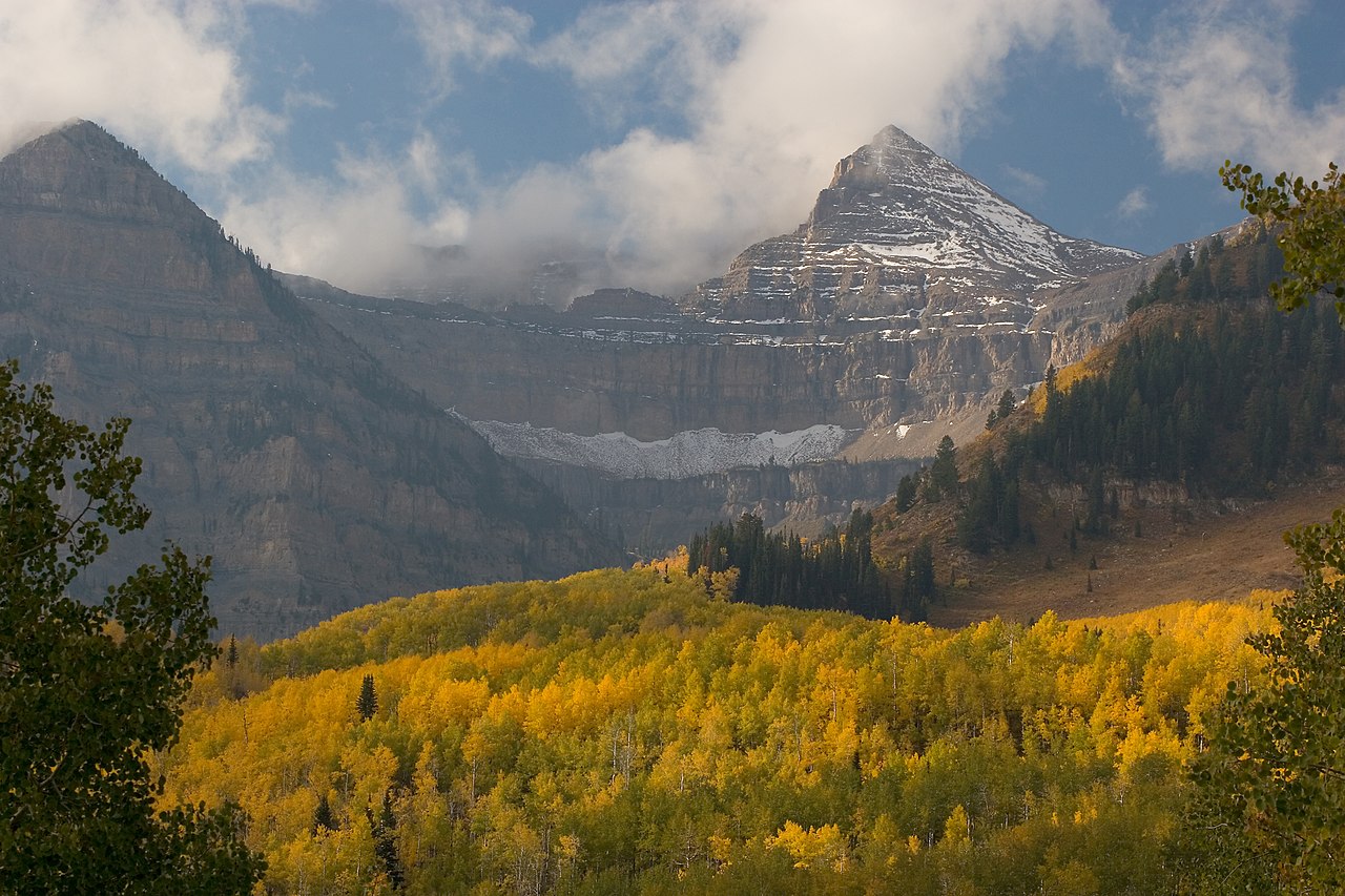
 Chain Lakes-Atwood TrailHiking · ~17 min drivePhoto: John Sowell, CC BY-SA 4.0 (via Wikimedia Commons)
- Uinta RiverHiking · Next door
- Old Chain Lakes TrailHiking · ~2 min drive
- Lily Pad TrailHiking · ~4 min drive
- CHAIN LAKES-ATWOODHiking · ~1 min drive
- Jackson ParkHiking · ~13 min drive
- Elkhorn Loop Big Spur South TrailHiking · ~11 min drive
- LowlineHiking · ~11 min drive
- Jackson Park TrailHiking · ~13 min drive
- West Fork Whiterocks TrailHiking · ~13 min drive
Best time to visit Uinta River Trail
Best months: May–September. Best months have typical highs of 55–85 °F, lows of 30 °F or warmer (32 °F where the station doesn't record snow), at most one snowy day and no more than 12 wet days.
Jan
31° / 7°
Feb
34° / 12°
Mar
41° / 18°
Apr
49° / 24°
May
59° / 33°
Jun
69° / 40°
Jul
77° / 48°
Aug
77° / 49°
Sep
67° / 41°
Oct
55° / 31°
Nov
40° / 22°
Dec
31° / 11°
Typical high / low (°F) and days with rain or snow, 1991–2020. Measured at Moon Lake, UT, 17.8 mi away at 8,125 ft. This station doesn't record snowfall. Source: NOAA NCEI U.S. Climate Normals 1991–2020.
Map and trail data © OpenStreetMap contributors
