

Dutch John Resort At Flaming Gorge
Hiking business nearby (~45 mi away) — hasn't claimed their Roamze page yet
Free — you'll pick up right here.
Watch this trail
Sign up to watch it — saving subscribes you to gate, closure and report changes.
Utah
31.8 mi
Distance
3,321 ft
Gain
12h 16m
Time
We won't guess. Here is exactly what we do and don't know.
What we do know
Inside Ashley National Forest
2 managing-area boundaries mapped — agency alerts for them feed this page automatically.
Boundary data
What's missing
No access route mapped
We don't yet know which road reaches this trailhead, so we can't tell you if it's gated.
Nobody's filed a report here yet — be the first.
Why you'll love it
Uinta River
AI-suggested draft · review before you go
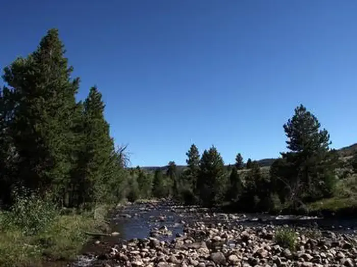
The Uinta River Trail is a challenging backcountry trek through the High Uintas Wilderness, following the pristine Uinta River drainage for nearly 32 miles. This remote alpine journey features river crossings, subalpine meadows, and access to some of Utah's highest peaks, making it ideal for experienced backpackers seeking solitude and wilderness immersion.
Chain Lakes-Atwood
~1 min drive
Moderate alpine trail to scenic mountain lakes with steady elevation gain.
Kidney Lakes
~11 min drive
Scenic alpine lake hike with moderate climbing and mountain views.
Davis Lakes
~13 min drive
Moderate 8.66-mile alpine lake hike with 741 ft elevation gain.
Uinta Highline Trail
~20 min drive
High-altitude Uinta Mountains traverse with alpine meadows and mountain vistas.
Lowline
~12 min drive
Moderate 5.2-mile trail with 1,452 ft gain near Lowline, Utah.
Farmers Lake
~16 min drive
Easy alpine lake hike with 537 ft gain near Farmers Lake, Utah.
Jackson Park
~13 min drive
Moderate 7.14-mile day hike with 1,070 ft elevation gain near Jackson Park.
Uinta Highline Trail
~20 min drive
Epic 45-mile alpine traverse through Utah's remote Uinta Mountains.
West Fork Whiterocks
~13 min drive
Gentle creek-side canyon hike in the Uinta Mountains with scenic alpine views.
Queant
~17 min drive
Easy 1.28-mile trail with minimal elevation gain near Queant, Utah.
Local operatorsoffering guided trips. You book directly with them — Roamze doesn’t take a cut.
Dutch John Resort At Flaming Gorge
Hiking business nearby (~45 mi away) — hasn't claimed their Roamze page yet