South Group Site
Campground
Campground · 3.9 mi from the trail
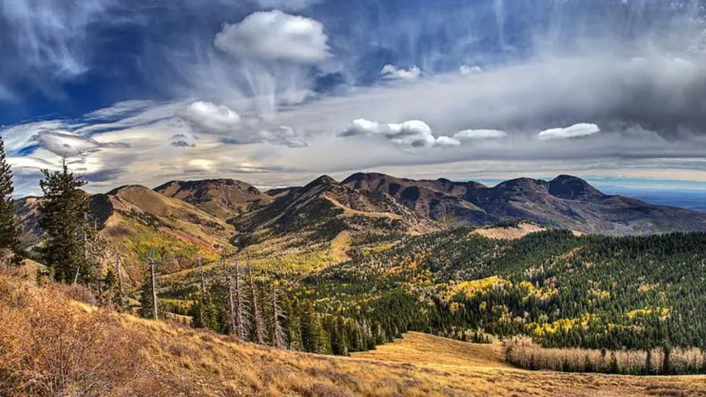
 Photo: Ken Lund from Reno, Nevada, USA, CC BY-SA 2.0 (via Wikimedia Commons)
Alert in the area
The Forest Service lists an alert for Monticello Ranger District.
Hazardous Road Conditions – Moab Monticello Ranger Districts 11.4.2026
Agency alert covering Monticello Ranger District · USFS · Monticello Ranger District
As of · Source: USFS · Monticello Ranger District. Agencies don't list every closure — check before you go.
Red Ledges Access Trail is a short, easy hike in the Monticello Ranger District of Manti-La Sal National Forest in Utah, managed by the Forest Service. The trail is about 0.8 miles long and is an out-and-back route that starts and ends at roughly 9,212 feet, with a high point of 9,212 feet and a low of 8,881 feet. The climb is rolling, with a total gain and loss of about 671 feet, and the steepest stretch comes at about 0.4 miles in, where the grade reaches 24 percent. The trip takes about an hour, and the trail is open year-round. For a longer outing, Aspen Flat lies about 1.2 miles away and Spring Creek Trail about 1.5 miles away. Buckboard Campground, about 3.9 miles off, and Monticello Lake Fishing Site, about 4.1 miles away, offer places to stay and fish.
South Group Site
Campground
 If it rainsDaBler, CC BY-SA 3.0 · Wikimedia Commons
Places © OpenStreetMap contributors, Places © Overture Maps Foundation · Photos: DaBler, CC BY-SA 3.0 (commons)
More in MonticelloNot on Roamze yet. Their page has how to reach them.
 Aspen FlatHikingPhoto: Ken Lund from Reno, Nevada, USA, CC BY-SA 2.0 (via Wikimedia Commons)1.2 miSpring Creek TrailHikingPhoto: Ken Lund from Reno, Nevada, USA, CC BY-SA 2.0 (via Wikimedia Commons)1.5 miCooley Pass TrailHikingPhoto: Ken Lund from Reno, Nevada, USA, CC BY-SA 2.0 (via Wikimedia Commons)2.1 mi
 NizhoniCampingPhoto: Recreation.gov (RIDB) / public domain4.6 mi
Source: Roamze catalog (indexable pages within 10 miles, PostGIS distance)
Aspen FlatHiking · ~2 min drivePhoto: Ken Lund from Reno, Nevada, USA, CC BY-SA 2.0 (via Wikimedia Commons) 5463 to 5020 TrailHiking · ~7 min drivePhoto: Ken Lund from Reno, Nevada, USA, CC BY-SA 2.0 (via Wikimedia Commons)Cooley Pass TrailHiking · ~4 min drivePhoto: Ken Lund from Reno, Nevada, USA, CC BY-SA 2.0 (via Wikimedia Commons)Shay Ridge TrailHiking · ~7 min drivePhoto: Ken Lund from Reno, Nevada, USA, CC BY-SA 2.0 (via Wikimedia Commons)INDIAN CRK RIM LOOP EXTHiking · ~8 min drivePhoto: Ken Lund from Reno, Nevada, USA, CC BY-SA 2.0 (via Wikimedia Commons)Spring Creek TrailHiking · ~3 min drivePhoto: Ken Lund from Reno, Nevada, USA, CC BY-SA 2.0 (via Wikimedia Commons)
Map and trail data © OpenStreetMap contributors

