Nizhoni
Campground
The next 6 weekends are full on Recreation.gov
Alert in the area
The Forest Service lists an alert for Monticello Ranger District.
Hazardous Road Conditions – Moab Monticello Ranger Districts 11.4.2026
Agency alert covering Monticello Ranger District · USFS · Monticello Ranger District
As of · Source: USFS · Monticello Ranger District. Agencies don't list every closure — check before you go.
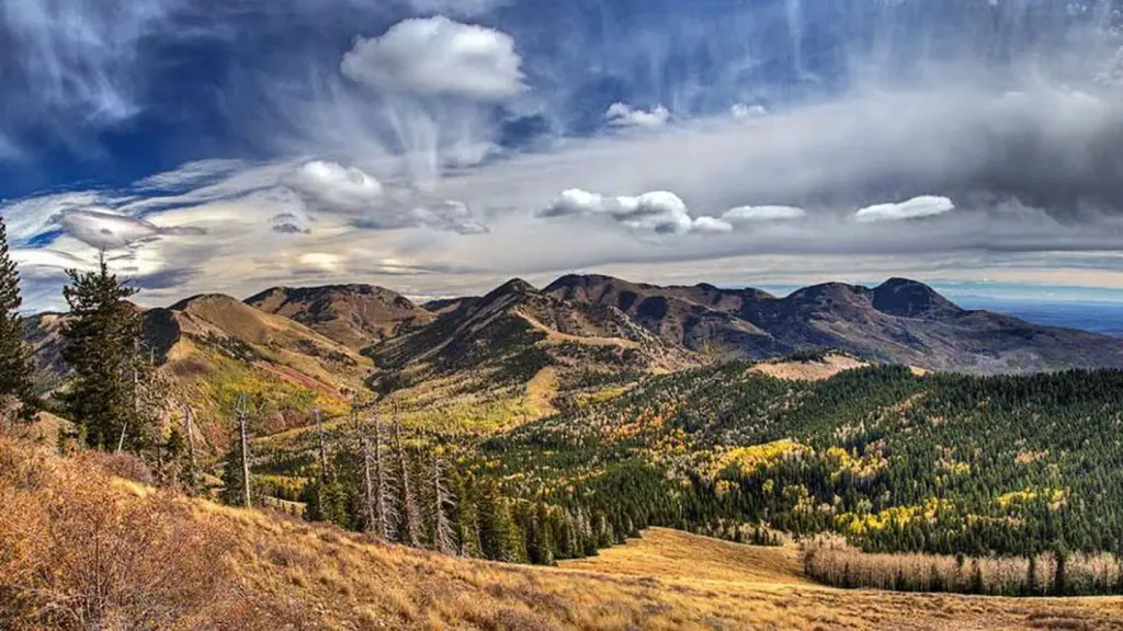
Allen Canyon East Slope is a short hike in the Monticello Ranger District of Utah's Manti-La Sal National Forest. Rated moderate, it covers just under a mile one way, about 1.9 miles as an out-and-back, and starts high at roughly 8,640 feet. The climb is steady rather than abrupt. Hikers gain about 590 feet one way, or about 1,000 feet over the full round trip once the ups and downs are counted. The trail tops out near 8,840 feet. Its steepest pitch reaches about a 9 percent grade around 0.65 miles in. Elevations along the way stay between roughly 8,630 and 8,840 feet, so the hike is a compact outing at altitude rather than a long grind. Blue Creek-Allen Canyon, another hike, and the Johnson Creek Rim Spur Loop for mountain biking both lie about 0.3 miles away. Nizhoni campground is about 3 miles off, and Monticello Lake Fishing Site is roughly 8 miles away.
Nizhoni
Campground
 If it rainsDaBler, CC BY-SA 3.0 · Wikimedia Commons
Places © OpenStreetMap contributors, Places © Overture Maps Foundation · Photos: DaBler, CC BY-SA 3.0 (commons)
More in MonticelloNot on Roamze yet. Their page has how to reach them.
 NizhoniCampingPhoto: Recreation.gov (RIDB) / public domain3.2 mi
Source: Roamze catalog (indexable pages within 10 miles, PostGIS distance)
 Aspen FlatHiking · ~5 min drivePhoto: Ken Lund from Reno, Nevada, USA, CC BY-SA 2.0 (via Wikimedia Commons)
 Red Ledges Access TrailHiking · ~7 min drivePhoto: Ken Lund from Reno, Nevada, USA, CC BY-SA 2.0 (via Wikimedia Commons)Cooley Pass TrailHiking · ~10 min drivePhoto: Ken Lund from Reno, Nevada, USA, CC BY-SA 2.0 (via Wikimedia Commons)
 Shay Ridge TrailHiking · ~8 min drivePhoto: Ken Lund from Reno, Nevada, USA, CC BY-SA 2.0 (via Wikimedia Commons)
 JOHNSON CREEK RIMHiking · ~9 min drivePhoto: W. Bulach, CC BY-SA 4.0 (via Wikimedia Commons)Spring Creek TrailHiking · ~10 min drivePhoto: Ken Lund from Reno, Nevada, USA, CC BY-SA 2.0 (via Wikimedia Commons)INDIAN CRK RIM LOOP EXTHiking · ~10 min drivePhoto: Ken Lund from Reno, Nevada, USA, CC BY-SA 2.0 (via Wikimedia Commons)

