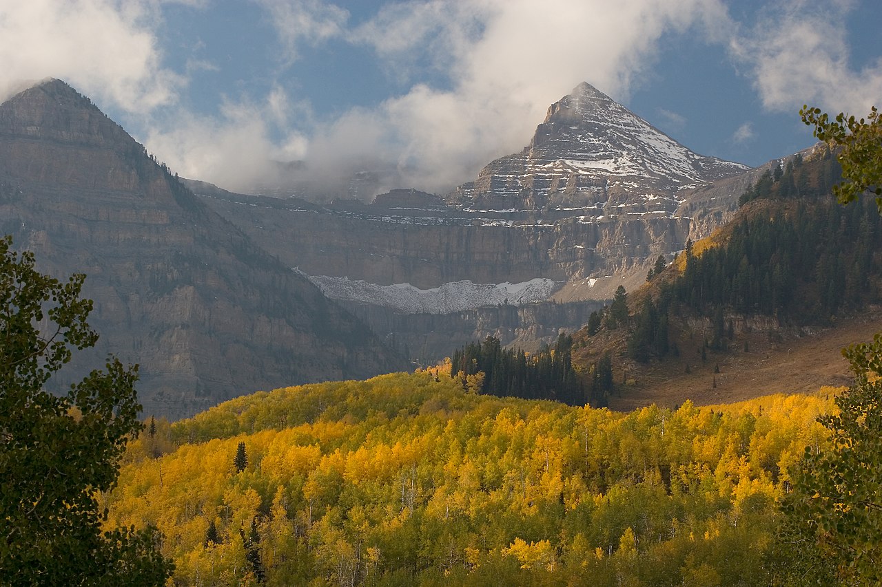
Petty Mountain Loop
- 1.3 mi
- round trip
- 1,056 ft
- climb
- 8,623 ft
- high point
- Out and back
- route
- May–Sep
- best months
Is PETTY MOUNTAIN LOOP open right now?
Alert in the area
The Forest Service lists 2 alerts for Ashley National Forest.
Anvil Draw Boat Ramp Temporary Closure
Agency alert covering Ashley National Forest · Order 0401-26-01-03 · USFS · Ashley National Forest
Flaming Gorge Reservoir Water Levels
Agency alert covering Ashley National Forest · USFS · Ashley National Forest
As of · Source: USFS · Ashley National Forest. Agencies don't list every closure — check before you go.
Petty Mountain Out-and-back is a 2.58-mile out-and-back trail in Utah with 1,056 feet of elevation gain and loss. The route reaches a maximum elevation of 8,623 feet.
- Petty Mountain Loop TrailHiking · ~2 min drive
- Dry Gulch TrailHiking · ~3 min drive
- Dry Gulch TrailHiking · ~7 min drive
- Center Park TrailHiking · ~13 min drive
- Dry Gulch TrailHiking · ~4 min drive
- Petty Mountain Loop TrailHiking · ~6 min drive
- Lily Pad AHiking · ~10 min drive
- Brown Duck TrailHiking · ~19 min drive
- PC-HC Spur East TrailHiking · ~4 min drive
- YellowstoneHiking · ~9 min drive
Best time to visit PETTY MOUNTAIN LOOP
Best months: May–September. Best months have typical highs of 55–85 °F, lows of 30 °F or warmer (32 °F where the station doesn't record snow), at most one snowy day and no more than 12 wet days.
Jan
31° / 7°
Feb
34° / 12°
Mar
41° / 18°
Apr
49° / 24°
May
59° / 33°
Jun
69° / 40°
Jul
77° / 48°
Aug
77° / 49°
Sep
67° / 41°
Oct
55° / 31°
Nov
40° / 22°
Dec
31° / 11°
Typical high / low (°F) and days with rain or snow, 1991–2020. Measured at Moon Lake, UT, 7.6 mi away at 8,125 ft. This station doesn't record snowfall. Source: NOAA NCEI U.S. Climate Normals 1991–2020.