Albion Basin
Campground
Campground · 0.7 mi from the trail
No closures listed
The Forest Service lists no closures for Uinta-Wasatch-Cache National Forest.
As of · Source: USFS · Uinta-Wasatch-Cache National Forest. Agencies don't list every closure — check before you go.
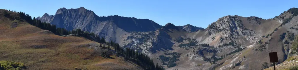
Ridge Trail is a 4.95-mile hike in the Salt Lake Ranger District of Utah's Uinta-Wasatch-Cache National Forest, managed by the Forest Service. It is an out-and-back route with a total climb of about 2,464 feet, rising from a low point of 8,900 feet to a high of 10,447 feet over a round-trip distance of about 9.9 miles. The trail is rated moderate. Two other hikes, Sunset Peak Trail and Mount Wolverine Trail, start within about a quarter mile of the route. Lake Catherine and Lake Martha, both fishing spots, are within a mile, and Albion Basin campground sits about 0.7 miles away.
Albion Basin
Campground
Alf's Restaurant
Restaurant
 If it rainsSaalebaer, CC0 · Wikimedia Commons
Park City Museum
Museum
Places © OpenStreetMap contributors · Photos: Saalebaer, CC0 (commons)
More in HeberNot on Roamze yet. Their page has how to reach them.
 Albion BasinCampingPhoto: Recreation.gov (RIDB) / public domain0.7 mi
 Tahoe SimulatorRock climbingPhoto: marcomorahuizar, CC0 (via Flickr)1 mi
 Tacos Diablos BoulderRock climbingPhoto: paulinkenbrandt, CC BY-SA 2.0 (via Flickr)1.1 mi
Source: Roamze catalog (indexable pages within 10 miles, PostGIS distance)
 Cecret LakeHiking · ~2 min drivePhoto: Shaan Hurley — CC BY 2.0 (via Flickr)
 Albion Meadow TrailHiking · ~2 min drivePhoto: kallahar, CC BY 3.0 (via Wikimedia Commons)
About 5.0 mi round trip.
About 2,464 ft of climbing round trip.
It is rated moderate.
About 2.5 hours round trip.
Daily highs and lows, wind and the chance of precipitation at the summit and route start for the next 7 days, from the Open-Meteo model.
Map and trail data © OpenStreetMap contributors

