Albion Basin
Campground
Campground · 0.7 mi from the trail
No closures listed
The Forest Service lists no closures for Uinta-Wasatch-Cache National Forest.
As of · Source: USFS · Uinta-Wasatch-Cache National Forest. Agencies don't list every closure — check before you go.
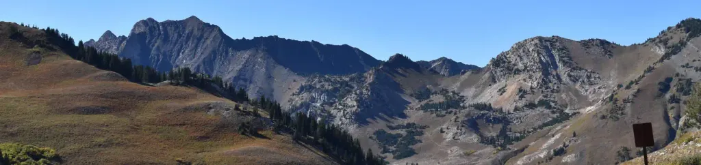
Sunset Peak Trail is a short out-and-back hike in Utah's Uinta-Wasatch-Cache National Forest, within the Salt Lake Ranger District. The trail is about half a mile long, with a low point of 10,222 feet and a high of 10,451 feet, and it gains about 200 feet in elevation. The Forest Service manages the land. The trail is a quick addition to a day spent exploring the surrounding area. Mount Wolverine Trail starts just 0.1 mile away, and Ridge Trail is about 0.2 mile off. Lake Catherine, a fishing spot, lies roughly 0.3 mile away, and Albion Basin campground is about 0.7 mile away.
Albion Basin
Campground
Alf's Restaurant
Restaurant
 If it rainsSaalebaer, CC0 · Wikimedia Commons
Park City Museum
Museum
Places © OpenStreetMap contributors · Photos: Saalebaer, CC0 (commons)
More in HeberNot on Roamze yet. Their page has how to reach them.
 Albion BasinCampingPhoto: Recreation.gov (RIDB) / public domain0.7 mi
 Tahoe SimulatorRock climbingPhoto: marcomorahuizar, CC0 (via Flickr)0.9 miBrighton's Frighton WallRock climbingPhoto: marcomorahuizar, CC0 (via Flickr)1 mi
Source: Roamze catalog (indexable pages within 10 miles, PostGIS distance)
 Cecret LakeHiking · ~2 min drivePhoto: Shaan Hurley — CC BY 2.0 (via Flickr)
 Albion Meadow TrailHiking · ~2 min drivePhoto: kallahar, CC BY 3.0 (via Wikimedia Commons)
Map and trail data © OpenStreetMap contributors

