Dry Gulch Trail
- 1.5 mi
- round trip
- 666 ft
- climb
- 8,485 ft
- high point
- Out and back
- route
- May–Sep
- best months
Is Dry Gulch Trail open right now?
Alert in the area
The Forest Service lists 2 alerts for Ashley National Forest.
Anvil Draw Boat Ramp Temporary Closure
Agency alert covering Ashley National Forest · Order 0401-26-01-03 · USFS · Ashley National Forest
Flaming Gorge Reservoir Water Levels
Agency alert covering Ashley National Forest · USFS · Ashley National Forest
As of · Source: USFS · Ashley National Forest. Agencies don't list every closure — check before you go.
Dry Gulch Trail is an easy out-and-back hike of about 3 miles in the Roosevelt Ranger District of Ashley National Forest in Utah. The trail rises from a low point of about 7,987 feet to a high of about 8,485 feet, with a total elevation gain of about 666 feet over the course of the round trip. The climb is front-loaded, with the steepest stretch at about 1.3 miles, where the grade reaches 13%. Summer is the most comfortable time to go. Typical averages from a nearby weather station at Moon Lake show July and August highs around 77°F with lows in the upper 40s, while winter highs there stay near freezing. The trip takes about 1.5 hours. Yellowstone Group Campground sits about 2 miles away, and Petty Mountain Loop Trail and Upper Yellowstone Loop West Trail are both within about 3.5 miles.
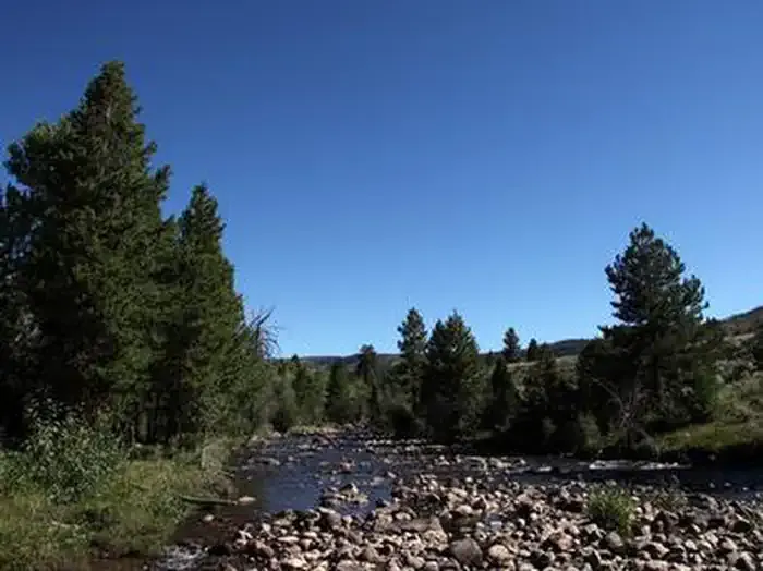 Yellowstone Group CampgroundCampingPhoto: Recreation.gov (RIDB) / public domain1.9 mi
- Petty Mountain Loop TrailHiking3.1 mi
- Upper Yellowstone Loop West TrailHiking3.5 mi
- Lily Pad AHiking4 mi
- PC-HC Spur East TrailHiking4.6 mi
- Lake Fork RiverCanoeing7.5 mi
Source: Roamze catalog (indexable pages within 10 miles, PostGIS distance)
- Dry Gulch TrailHiking · ~2 min drive
- Dry Gulch TrailHiking · ~3 min drive
- Dry Gulch TrailHiking · ~3 min drive
- Center Park TrailHiking · ~16 min drive
- Petty Mountain Loop TrailHiking · ~5 min drive
- PETTY MOUNTAIN LOOPHiking · ~4 min drive
- Lily Pad AHiking · ~7 min drive
- Jackson Park TrailHiking · ~14 min drive
- PC-HC Spur East TrailHiking · ~8 min drive
- Lily Pad AHiking · ~8 min drive
Best time to visit Dry Gulch Trail
Best months: May–September. Best months have typical highs of 55–85 °F, lows of 30 °F or warmer (32 °F where the station doesn't record snow), at most one snowy day and no more than 12 wet days.
Jan
31° / 7°
Feb
34° / 12°
Mar
41° / 18°
Apr
49° / 24°
May
59° / 33°
Jun
69° / 40°
Jul
77° / 48°
Aug
77° / 49°
Sep
67° / 41°
Oct
55° / 31°
Nov
40° / 22°
Dec
31° / 11°
Typical high / low (°F) and days with rain or snow, 1991–2020. Measured at Moon Lake, UT, 9.7 mi away at 8,125 ft. This station doesn't record snowfall. Source: NOAA NCEI U.S. Climate Normals 1991–2020.

Map and trail data © OpenStreetMap contributors
