Utah · Canoeing · Altonah
Lake Fork River
- 42.2 mi
- distance
- 10,476 ft
- high point
Lake Fork River is a 42-mile paddling stretch near Altonah, Utah. It flows year-round. USGS models an average flow of about 235 cfs and a gradient of about 103.8 feet per mile.
- Dry Gulch TrailHiking7.5 mi
- Petty Mountain Loop TrailHiking7.8 mi
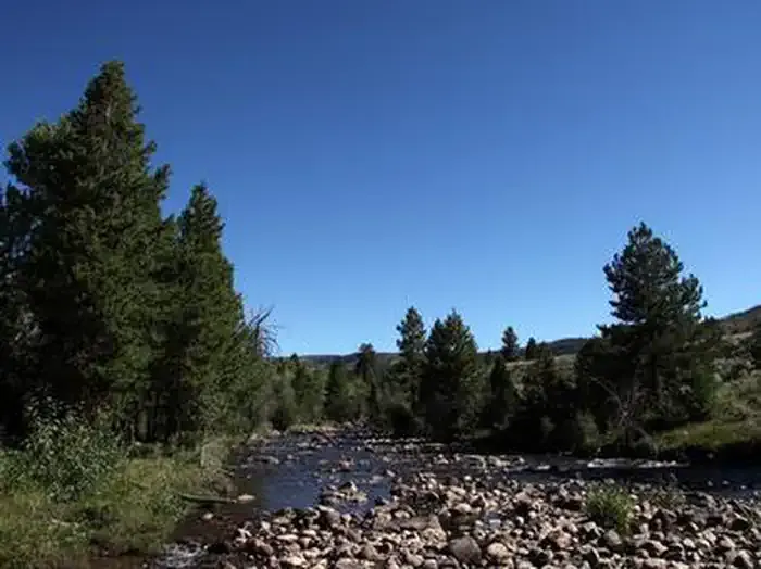 Yellowstone Group CampgroundCampingPhoto: Recreation.gov (RIDB) / public domain8.9 mi
- PC-HC Spur East TrailHiking9.9 mi
Source: Roamze catalog (indexable pages within 10 miles, PostGIS distance)
- Dry Gulch CreekCanoeing · ~23 min drive
- Upper Stillwater Boat RampBoat launch · ~36 min drive
- Browne Lake Group SitesFloat trip · ~1h 12m drive
- Uinta RiverCanoeing · ~31 min drive
- Spirit Lake Boat RampBoat launch · ~59 min drive
- Navajo CliffsFloat trip · ~1h 23m drive
- Yellowstone CreekCanoeing · ~32 min drive
- Pelican Lake Boat RampBoat launch · ~1h 5m drive
- East Channel Uinta RiverCanoeing · ~40 min drive
- Currant Creek Boat RampBoat launch · ~1h 6m drive

