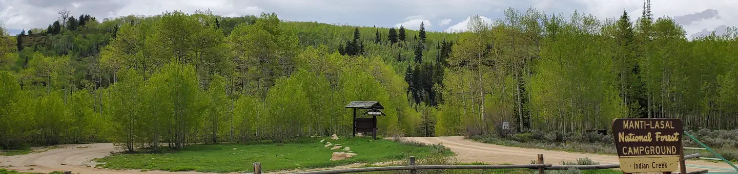
Indian Creek (ut)
Campground
The next 7 weekends are full on Recreation.gov
No closures listed
The Forest Service lists no closures for Manti-La Sal National Forest.
As of · Source: USFS · Manti-La Sal National Forest. Agencies don't list every closure — check before you go.
Mill Fork Canyon Trail is a 7.04-mile out-and-back route in Utah managed by the Forest Service. The trail gains 272 feet of elevation.
Indian Creek (ut)
Campground
Sub Zero
Restaurant
 If it rainsGranary arts, CC BY-SA 4.0 · Wikimedia Commons
Granary Arts
Museum
Places © OpenStreetMap contributors · Photos: Granary arts, CC BY-SA 4.0 (commons)
More in Mount PleasantNot on Roamze yet. Their page has how to reach them.
 Indian CreekRiver fishing1.5 mi
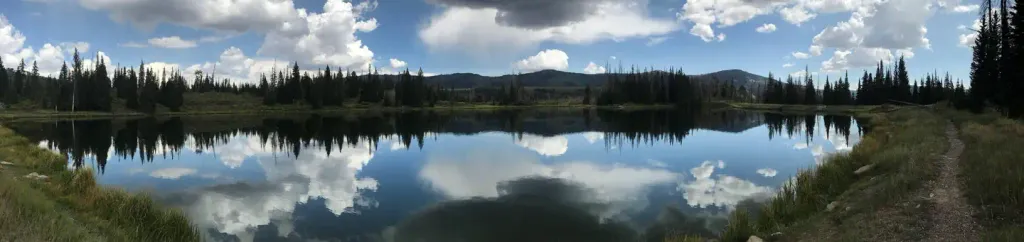 Potters PondCampingPhoto: Recreation.gov (RIDB) / public domain3.4 mi
Source: Roamze catalog (indexable pages within 10 miles, PostGIS distance)
Best months: June–September. Best months have typical highs of 55–85 °F, lows of 30 °F or warmer (32 °F where the station doesn't record snow), at most one snowy day and no more than 12 wet days.
Jan
30° / 13°
12 wet
Feb
31° / 14°
11 wet
Mar
38° / 20°
11 wet
Apr
44° / 24°
10 wet
May
54° / 33°
9 wet
Jun
66° / 41°
7 wet
Jul
74° / 48°
8 wet
Aug
72° / 46°
10 wet
Sep
63° / 39°
8 wet
Oct
50° / 29°
8 wet
Nov
38° / 19°
9 wet
Dec
30° / 12°
11 wet
Typical high / low (°F) and days with rain or snow, 1991–2020. Measured at Scofield-Skyline Mine, UT, 16.9 mi away at 8,697 ft. The station sits about 1,500 ft lower than this place, so expect it a little cooler here. This station doesn't record snowfall. Source: NOAA NCEI U.S. Climate Normals 1991–2020.

