Little Bear Group
Campground
The next 7 weekends are full on Recreation.gov
No closures listed
The Forest Service lists no closures for Manti-La Sal National Forest.
As of · Source: USFS · Manti-La Sal National Forest. Agencies don't list every closure — check before you go.
Little Bear Ridge Trail is an easy out-and-back hike in the Price Ranger District of Manti-La Sal National Forest in southern Utah. The trail runs about 2.1 miles, with a total elevation gain of 571 feet, and it climbs from a low point of about 9,000 feet to a high of about 9,550 feet. Summer is the most comfortable time to go. Typical averages from a nearby weather station at Electric Lake, about 11 miles away, show July highs around 74°F with lows near 41°F, while winter highs there stay in the mid-20s. The Forest Service manages the land, and the trail has a natural surface. Bikes are allowed. The trail is open from June 1 to October 15. Camping is close by at Little Bear Group, about 1.4 miles away, and Lower Little Bear Campground, about 1.7 miles out. The Crandall Trail is about 1.6 miles away, and the climbing area Heathens Hideout (The New Boulders) sits about 1.9 miles from the trail.
Little Bear Group
Campground
Sub Zero
Restaurant
 If it rainsGranary arts, CC BY-SA 4.0 · Wikimedia Commons
Granary Arts
Museum
Places © OpenStreetMap contributors · Photos: Granary arts, CC BY-SA 4.0 (commons)
More in Mount Pleasant Little Bear GroupCampingPhoto: Recreation.gov (RIDB) / public domain1.4 mi
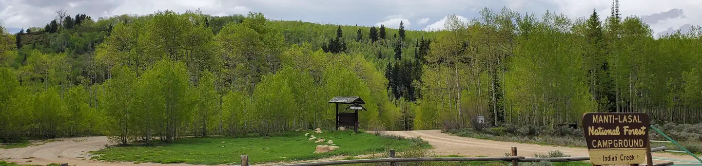 Indian CreekRiver fishing3.7 mi
Source: Roamze catalog (indexable pages within 10 miles, PostGIS distance)

