Horse Canyon Camping Area
Campground
Campground · 2.6 mi from the trail
Caution at last check
Agency alerts are in effect for this area; weather is good · USFS, OpenWeather · checked 18 h ago
No closures listed
The Forest Service lists no closures for Manti-La Sal National Forest.
As of · Source: USFS · Manti-La Sal National Forest. Agencies don't list every closure — check before you go.
Crandall Trail is an easy, 2-mile out-and-back hike in the Price Ranger District of Manti-La Sal National Forest in Utah, managed by the Forest Service. The trail rises about 400 feet from a low point of 7,879 feet to a high of 8,296 feet, and its natural surface makes it a straightforward walk for anyone heading out on foot or on a bike. Summer is the most comfortable time to go. Typical averages from the Electric Lake weather station, about 10 miles away at a similar elevation, show July highs around 74°F with lows near 41°F and only about five wet days in the month. Winter is cold, with January highs around 27°F and lows near 4°F. The trail is open from June 1 to October 15. Little Bear Ridge Trail lies about 1.6 miles away, and Mill Fork Canyon Trail is about 2 miles off. Climbers can find Heathens Hideout (The New Boulders) about 1.9 miles away, and Horse Canyon Camping Area offers a place to stay about 2.6 miles from the trail.
Horse Canyon Camping Area
Campground
Sub Zero
Restaurant
 If it rainsGranary arts, CC BY-SA 4.0 · Wikimedia Commons
Granary Arts
Museum
Places © OpenStreetMap contributors · Photos: Granary arts, CC BY-SA 4.0 (commons)
More in Mount PleasantNot on Roamze yet. Their page has how to reach them.
 Little Bear GroupCampingPhoto: Recreation.gov (RIDB) / public domain2.7 mi
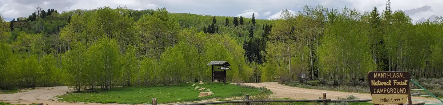 Indian CreekRiver fishing3 mi
Source: Roamze catalog (indexable pages within 10 miles, PostGIS distance)
Best months: June–September. Best months have typical highs of 55–85 °F, lows of 30 °F or warmer (32 °F where the station doesn't record snow), at most one snowy day and no more than 12 wet days.
Jan
27° / 4°
12 wet
Feb
30° / 3°
11 wet
Mar
38° / 10°
10 wet
Apr
43° / 18°
11 wet
May
55° / 27°
9 wet
Jun
66° / 35°
6 wet
Jul
74° / 41°
5 wet
Aug
72° / 40°
8 wet
Sep
63° / 32°
7 wet
Oct
48° / 22°
8 wet
Nov
35° / 15°
10 wet
Dec
25° / 2°
10 wet
Typical high / low (°F) and days with rain or snow, 1991–2020. Measured at Electric Lake, UT, 9.6 mi away at 8,380 ft. This station doesn't record snowfall. Source: NOAA NCEI U.S. Climate Normals 1991–2020.
