Nizhoni
Campground
The next 6 weekends are full on Recreation.gov
Caution at last check
Agency alerts are in effect for this area; weather is marginal · USFS, OpenWeather · checked 13 h ago
Alert in the area
The Forest Service lists an alert for Monticello Ranger District.
Hazardous Road Conditions – Moab Monticello Ranger Districts 11.4.2026
Agency alert covering Monticello Ranger District · USFS · Monticello Ranger District
As of · Source: USFS · Monticello Ranger District. Agencies don't list every closure — check before you go.
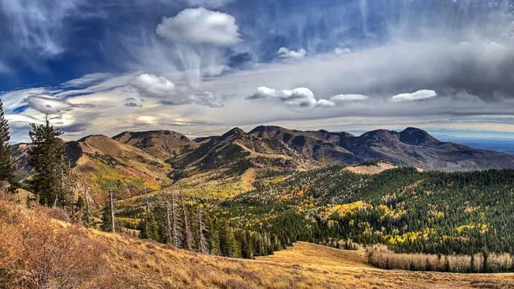
Blue Creek-Allen Canyon is a hard hike in the Monticello Ranger District of Manti-La Sal National Forest in Utah, about 11 miles from the community of Indian Village. The route is an out-and-back that climbs from a low point of 7,754 feet to a high of 10,471 feet, with a total elevation gain of 2,660 feet over a distance of about 15.4 miles. The trail is on natural surface and is open year-round. Horses are allowed, but bikes are not. The Forest Service manages the land. The Allen Canyon East Slope hike starts just 0.3 miles away, and the Johnson Creek Rim Spur Loop mountain biking route is about half a mile off. The Skyline Trail is roughly 1.5 miles away, and the Nizhoni campground sits about 3.5 miles from the trail.
Nizhoni
Campground
 If it rainsDaBler, CC BY-SA 3.0 · Wikimedia Commons
Places © OpenStreetMap contributors, Places © Overture Maps Foundation · Photos: DaBler, CC BY-SA 3.0 (commons)
More in MonticelloNot on Roamze yet. Their page has how to reach them.
 NizhoniCampingPhoto: Recreation.gov (RIDB) / public domain3.5 mi
Source: Roamze catalog (indexable pages within 10 miles, PostGIS distance)
 Aspen FlatHiking · ~6 min drivePhoto: Ken Lund from Reno, Nevada, USA, CC BY-SA 2.0 (via Wikimedia Commons)
 Red Ledges Access TrailHiking · ~8 min drivePhoto: Ken Lund from Reno, Nevada, USA, CC BY-SA 2.0 (via Wikimedia Commons)Cooley Pass TrailHiking · ~11 min drivePhoto: Ken Lund from Reno, Nevada, USA, CC BY-SA 2.0 (via Wikimedia Commons)
 Shay Ridge TrailHiking · ~8 min drivePhoto: Ken Lund from Reno, Nevada, USA, CC BY-SA 2.0 (via Wikimedia Commons)
 JOHNSON CREEK RIMHiking · ~10 min drivePhoto: W. Bulach, CC BY-SA 4.0 (via Wikimedia Commons)Spring Creek TrailHiking · ~10 min drivePhoto: Ken Lund from Reno, Nevada, USA, CC BY-SA 2.0 (via Wikimedia Commons)INDIAN CRK RIM LOOP EXTHiking · ~10 min drivePhoto: Ken Lund from Reno, Nevada, USA, CC BY-SA 2.0 (via Wikimedia Commons)

