Bald Peak
 Photo: M.O. Stevens, CC BY-SA 3.0 (via Wikimedia Commons)
- 1,640 ft
- summit
- May–Sep
- best months
Bald Peak is a summit of 1,640 feet in Oregon, set within Bald Peak State Scenic Viewpoint about 5 miles from the town of Gaston. The peak sits at the heart of a state scenic viewpoint, which makes it a natural destination for anyone exploring this corner of the state. Summer is the most comfortable time to visit. Typical averages from a nearby weather station show July and August highs around 81°F with only about four wet days a month, while winter brings highs in the mid-40s and rain on most days. That station sits roughly 1,100 feet lower than the summit, so temperatures on the peak run cooler. Several trails lie within a few miles, including the Woodland Trail about 3 miles away and the Mampaɬ Trail and Ayeekwa Trail at about 3.5 miles. Paddlers can head to McFee Creek, about 4 miles off.
Conditions and forecast
Daily highs and lows, wind and the chance of precipitation at the summit for the next 7 days, from the Open-Meteo model.
- Summit elevation
- 1,640 ft
Elevation from USGS 3D Elevation Program terrain data (about 10 m resolution).
We don't know of a mapped trail or route to the summit of Bald Peak. Plan the approach with local maps, a guidebook or a local guide, and check conditions before you go.
Questions about Bald Peak
How tall is Bald Peak?
1,640 ft (500 m).
Is there a trail to the top of Bald Peak?
We don't know of a mapped trail or route to the summit. Plan the approach with local maps, a guidebook or a local guide.
- Iowa Hill1,139 ft · Oregon2 routes3.4 mi away
- Mount Tabor643 ft · Oregon2 routes24 mi away
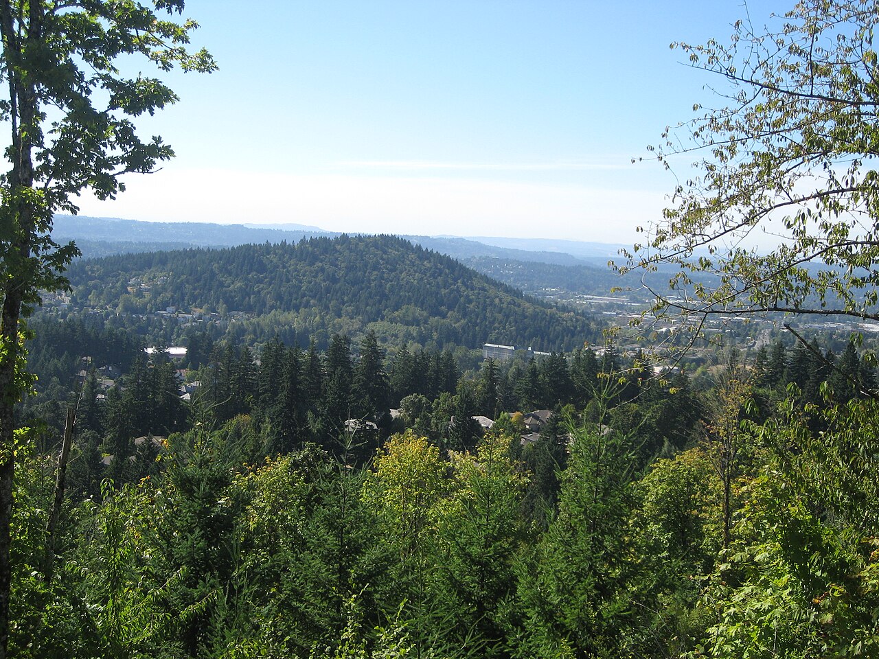 Mount Talbert746 ft · Oregon2 routes25 mi awayPhoto: Esprqii, CC BY-SA 3.0 (via Wikimedia Commons)
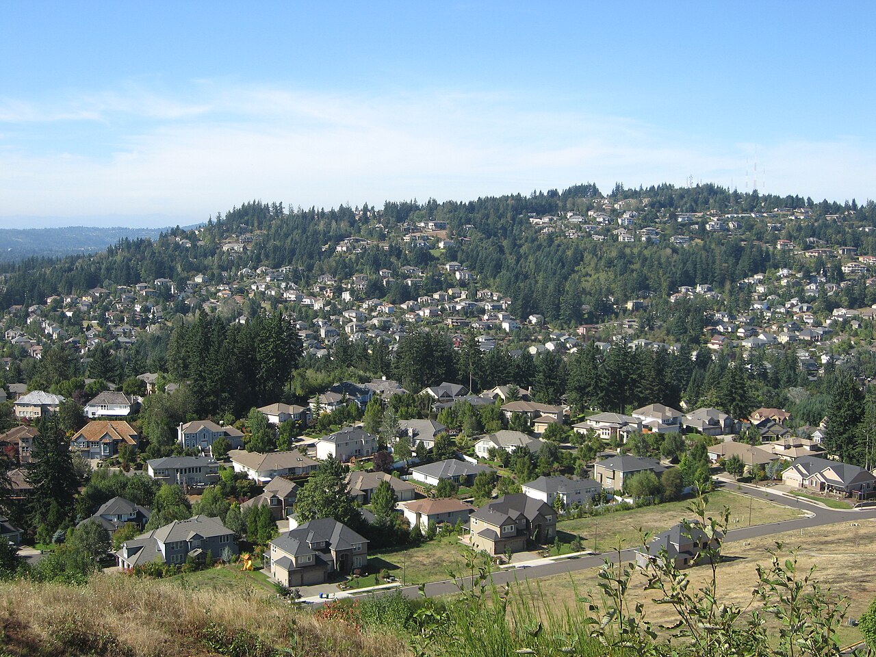 Mount Scott1,095 ft · Oregon1 route25 mi awayPhoto: Esprqii, CC BY-SA 3.0 (via Wikimedia Commons)
- Scouters Mountain944 ft · Oregon1 route27 mi away
- Kings Mountain3,224 ft · Oregon1 route27 mi away
 Woodland TrailHikingPhoto: mjfmjfmjf, CC BY 2.0 (via Flickr)3.1 mi
 Mampaɬ TrailHikingPhoto: mjfmjfmjf, CC BY 2.0 (via Flickr)3.5 mi
 Ayeekwa TrailHikingPhoto: mjfmjfmjf, CC BY 2.0 (via Flickr)3.5 mi
- Zorzal TrailHikingPhoto: mjfmjfmjf, CC BY 2.0 (via Flickr)3.5 mi
- McFee CreekCanoeing3.8 mi
 Chehalem CreekCanoeingPhoto: Finetooth, CC BY-SA 3.0 (via Wikimedia Commons)5.3 mi
- Yamhill CreekCanoeing6.5 mi
 Dairy CreekCanoeingPhoto: M.O. Stevens, CC BY 3.0 (via Wikimedia Commons)9.8 mi
Source: Roamze catalog (indexable pages within 10 miles, PostGIS distance)
 Cooper MountainSummit · ~17 min drivePhoto: M.O. Stevens, CC BY-SA 3.0 (via Wikimedia Commons)
 Mount SylvaniaSummit · ~28 min drivePhoto: M.O. Stevens, Public domain (via Wikimedia Commons)
 South Saddle MountainSummit · ~32 min drivePhoto: M.O. Stevens, CC BY-SA 3.0 (via Wikimedia Commons)
 Round TopSummit · ~42 min drivePhoto: Terrickisaiah555, CC BY-SA 3.0 (via Wikimedia Commons)
- Mount TalbertSummit · ~42 min drivePhoto: Esprqii, CC BY-SA 3.0 (via Wikimedia Commons)
- Mount ScottSummit · ~43 min drivePhoto: Esprqii, CC BY-SA 3.0 (via Wikimedia Commons)
 Rocky ButteSummit · ~45 min drivePhoto: Lyn Topinka of USGS, Public domain (via Wikimedia Commons)
 Powell ButteSummit · ~47 min drivePhoto: Ennetws, Public domain (via Wikimedia Commons)
 Mount BaldySummit · ~54 min drivePhoto: M.O. Stevens, Public domain (via Wikimedia Commons)
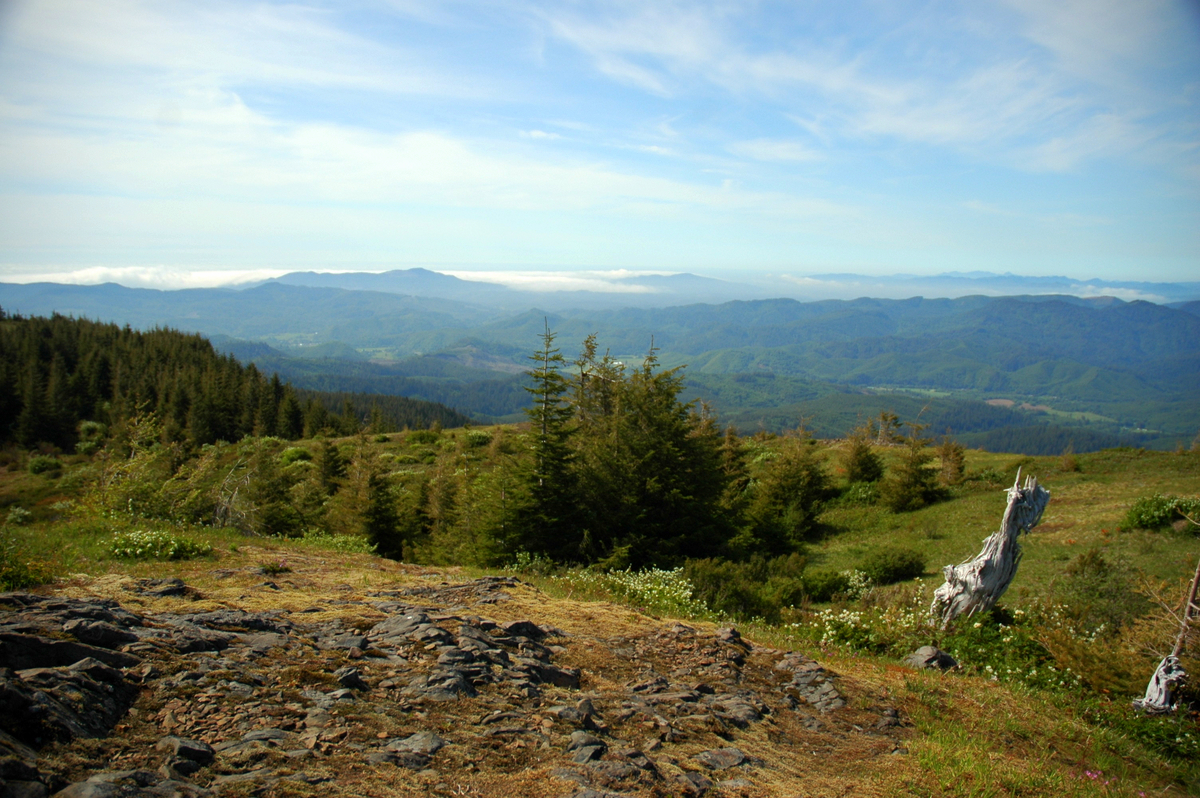 Mount HeboSummit · ~60 min drivePhoto: Ennetws, Public domain (via Wikimedia Commons)
Best time to visit Bald Peak
Best months: May–September. Best months have typical highs of 55–85 °F, lows of 30 °F or warmer (32 °F where the station doesn't record snow), at most one snowy day and no more than 12 wet days.
Jan
45° / 35°
19 wet
Feb
50° / 36°
16 wet
Mar
55° / 38°
17 wet
Apr
61° / 41°
15 wet
May
66° / 47°
12 wet
Jun
72° / 51°
8 wet
Jul
81° / 56°
4 wet
Aug
81° / 56°
4 wet
Sep
75° / 52°
7 wet
Oct
62° / 45°
13 wet
Nov
51° / 39°
18 wet
Dec
44° / 34°
20 wet
Typical high / low (°F) and days with rain or snow, 1991–2020. Measured at Rex 1 S, OR, 9.4 mi away at 515 ft. The station sits about 1,100 ft lower than this place, so expect it a little cooler here. Source: NOAA NCEI U.S. Climate Normals 1991–2020.
