Deep Gorge Trail
 Photo: james shaw, CC BY-SA 3.0 (via Wikimedia Commons)
- 0.7 mi
- round trip
- 627 ft
- climb
- 1,409 ft
- high point
- Out and back
- route
- Apr–Jun, Oct
- best months
Is Deep Gorge Trail open right now?
Closure in the area
There's a closure order in Wild Rivers Ranger District. It doesn't name Deep Gorge Trail, so check the source for the area it covers.
Illinois Falls Trail Bridge Closure
Agency closure covering Wild Rivers Ranger District · Order 06-10-22-25-02 · USFS · Wild Rivers Ranger District
Illinois River Road Seasonal Restrictions
Agency alert covering Wild Rivers Ranger District · Order 06-10-22-26-01 · USFS · Wild Rivers Ranger District
As of · Source: USFS · Wild Rivers Ranger District. Agencies don't list every closure — check before you go.
Deep Gorge Trail is an easy out-and-back hike of about 1.4 miles on Forest Service land in the Wild Rivers Ranger District of the Rogue River-Siskiyou National Forests in Oregon. It's a short, straightforward outing that gains about 627 feet of elevation on the way up and loses the same on the way back, with the steepest stretch around the half-mile mark, where the grade reaches about 23%. The trail starts near the 1,059-foot mark and climbs to a high point of about 1,409 feet. With the most comfortable weather typically coming in late spring and early fall, May averages highs near 76°F and October near 72°F, based on typical averages from a nearby weather station in Cave Junction. The trip takes about an hour. Echo Beach Campground and the Illinois River paddling route are both about 1.5 miles away, and Fall Creek offers another hike within 2 miles.
Local outfitters
- John Carl Guide Service22 mi away
- Huntfluent Guide Service25 mi away
Not on Roamze yet. Their page has how to reach them.
- Illinois RiverCanoeing1.5 mi
- Echo Beach CampgroundCamping1.6 mi
 Fall CreekHikingPhoto: james shaw, CC BY-SA 3.0 (via Wikimedia Commons)1.8 mi
- Store GulchCamping2.4 mi
- River Bench CampgroundCamping2.6 mi
- Pearsoll PeakHiking3.3 mi
- Kalmiopsis Rim TrailHiking3.4 mi
- Klondike CreekCanoeing5.5 mi
Source: Roamze catalog (indexable pages within 10 miles, PostGIS distance)
- Fall CreekHiking · ~3 min drivePhoto: james shaw, CC BY-SA 3.0 (via Wikimedia Commons)
 Illinois River TrailHiking · ~8 min drivePhoto: Northwest Rafting Company, CC BY 2.0 (via Flickr)
 Babyfoot LakeHiking · ~11 min drivePhoto: U.S. Forest Service- Pacific Northwest Region, Public domain (via Wikimedia Commons)
 Pine Flat WayHiking · ~13 min drivePhoto: Northwest Rafting Company, CC BY 2.0 (via Flickr)
- Emily CabinHiking · ~14 min drivePhoto: U.S. Forest Service- Pacific Northwest Region, Public domain (via Wikimedia Commons)
 Upper Chetco TrailHiking · ~13 min drivePhoto: Northwest Rafting Company, CC BY 2.0 (via Flickr)
 Florence Cut-OffHiking · ~16 min drivePhoto: Northwest Rafting Company, CC BY 2.0 (via Flickr)
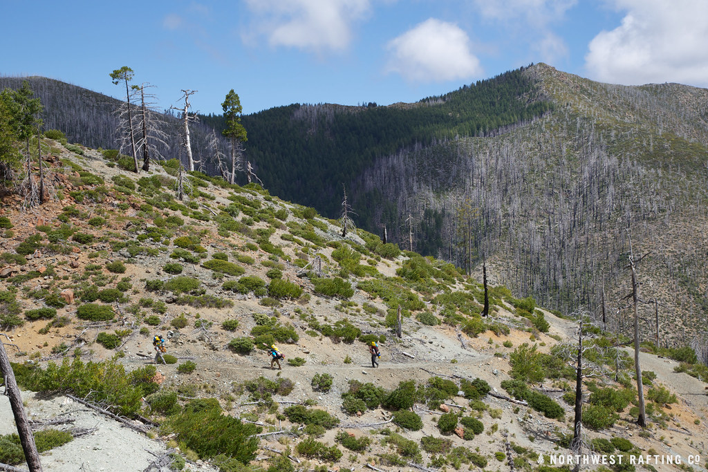 Bailey CabinHiking · ~14 min drivePhoto: Northwest Rafting Company, CC BY 2.0 (via Flickr)
- Florence WayHiking · ~18 min drivePhoto: Northwest Rafting Company, CC BY 2.0 (via Flickr)
- Kalmiopsis Rim TrailHiking · ~6 min drive
Best time to visit Deep Gorge Trail
Best months: April–June and October. Best months have typical highs of 55–85 °F, lows of 30 °F or warmer (32 °F where the station doesn't record snow), at most one snowy day and no more than 12 wet days.
Jan
49° / 32°
17 wet · 1 snow
Feb
55° / 33°
15 wet · 1 snow
Mar
60° / 34°
16 wet · 1 snow
Apr
67° / 37°
12 wet
May
76° / 42°
8 wet
Jun
83° / 46°
4 wet
Jul
94° / 52°
2 wet
Aug
94° / 49°
1 wet
Sep
87° / 44°
3 wet
Oct
72° / 39°
8 wet
Nov
55° / 36°
15 wet
Dec
47° / 33°
18 wet · 1 snow
Typical high / low (°F) and days with rain or snow, 1991–2020. Measured at Cave Junction 1 Wnw, OR, 12.9 mi away at 1,377 ft. Source: NOAA NCEI U.S. Climate Normals 1991–2020.
Closures we've recorded since August 2026
Stage 2 Public Use Fire Restrictions (Forest-wide)
Rogue River-Siskiyou National Forests · Order dated September 4, 2026; seen Sep 3, 2026 → lifted Oct 28, 2026 · Forest Service
Stage 3 Public Use Fire Restrictions (Forest-wide)
Rogue River-Siskiyou National Forests · Order dated July 17, 2026; seen Aug 23, 2026 → lifted Sep 3, 2026 · Forest Service
Map and trail data © OpenStreetMap contributors
