Stonehenge
- 0.4 mi
- round trip
- 202 ft
- climb
- 4,377 ft
- high point
- Out and back
- route
- May–Jun, Aug–Sep
- best months
Stonehenge is a short, easy hike in southern Oregon, about a mile from Klamath Falls. The route is an out-and-back of roughly 0.8 miles, with a total climb of about 200 feet. The trail starts at about 4,376 feet and reaches a high point of about 4,377 feet, so the climb is minimal, and the return is nearly the same descent. Summer is the most comfortable time to go. Typical averages from a nearby weather station show July highs around 86°F with only about two wet days, while winter highs sit in the low 40s and wet days are more frequent. Several other hikes sit within a short distance. Ratcamp and Whiskeytown are each about 0.1 mile away, and Blueberry and Eulalona Trail are about 0.2 mile off. For climbing, Cougar Rock Boulders is about 5 miles away.
Local outfitters
- Crater Lake Zipline and Kayak Tours1 mi away
- Yamsi Fly Fishing1 mi away
Not on Roamze yet. Their page has how to reach them.
Best time to go · May–Jun, Aug–Sep
Best time to visit Stonehenge
Best months: May–June and August–September. Best months have typical highs of 55–85 °F, lows of 30 °F or warmer (32 °F where the station doesn't record snow), at most one snowy day and no more than 12 wet days.
Jan
41° / 21°
11 wet
Feb
46° / 23°
9 wet
Mar
52° / 27°
11 wet
Apr
58° / 29°
9 wet
May
67° / 36°
8 wet
Jun
76° / 41°
5 wet
Jul
86° / 48°
2 wet
Aug
85° / 46°
2 wet
Sep
77° / 39°
3 wet
Oct
64° / 31°
6 wet
Nov
49° / 25°
10 wet
Dec
40° / 21°
12 wet
Typical high / low (°F) and days with rain or snow, 1991–2020. Measured at Klamath Falls Intl Ap, OR, 6.8 mi away at 4,084 ft. This station doesn't record snowfall. Source: NOAA NCEI U.S. Climate Normals 1991–2020.
Keep exploring — more trails worth the drive
 Photo: ex_magician, CC BY 2.0 (via Flickr)
Hayride
Next door
0.62-mile out-and-back trail in Oregon with 199 ft gain.
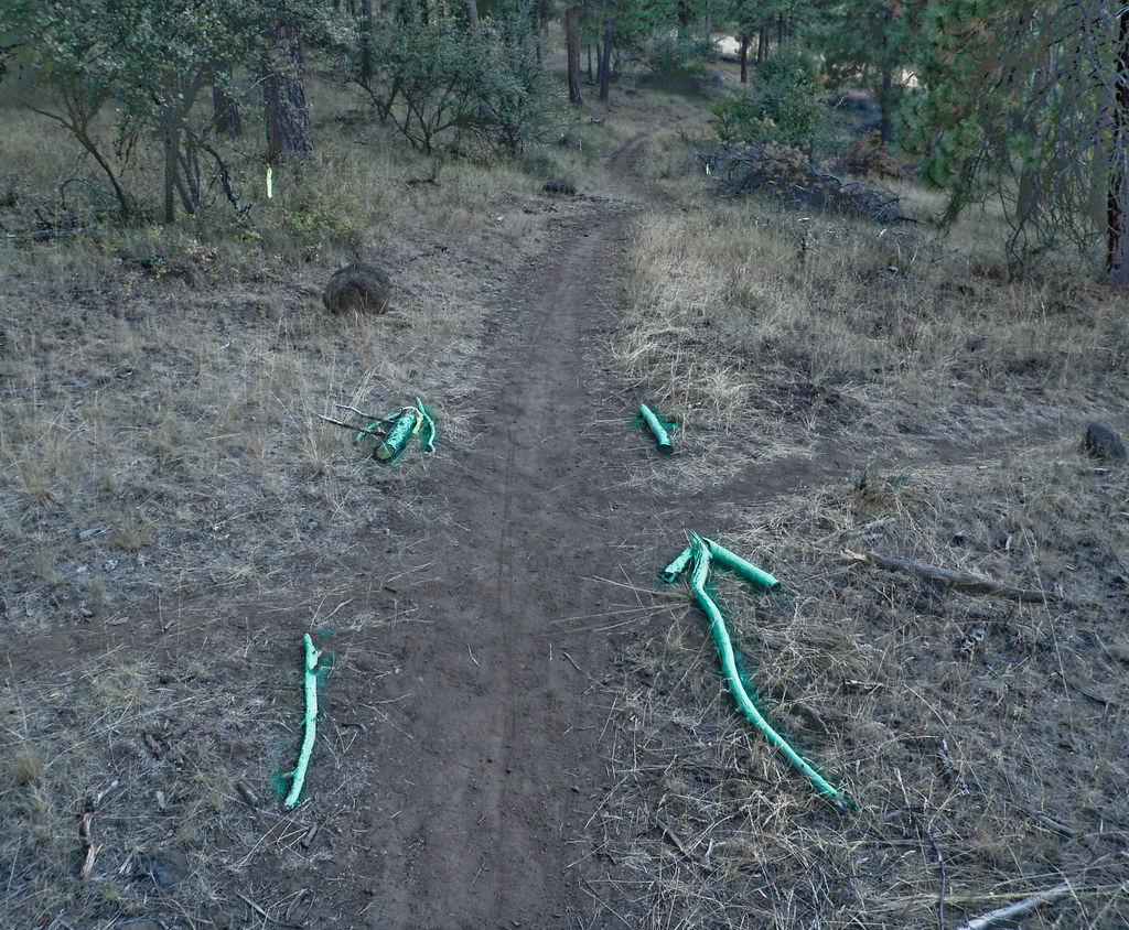 Photo: ex_magician, CC BY 2.0 (via Flickr)
Klamath Ridgeview
~1 min drive
Short out-and-back ridge hike with expansive Klamath region views.
HIKE
OC&E Woods Line State Trail
~17 min drive
31.6-mile out-and-back trail in Oregon with 1,018 ft elevation gain and loss.
 Photo: The Wandering God, CC BY-SA 2.0 (via Flickr)
Sidewinder
Next door
0.78-mile out-and-back trail in Oregon with 192 ft elevation gain.
Photo: ex_magician, CC BY 2.0 (via Flickr)Enduro
~1 min drive
0.77-mile out-and-back trail in Oregon with 541 ft gain and 787 ft loss.
Photo: The Wandering God, CC BY-SA 2.0 (via Flickr)Big Sky
Next door
0.73-mile out-and-back trail in Oregon with 150 ft gain.
Photo: ex_magician, CC BY 2.0 (via Flickr)Tank
~2 min drive
0.88-mile out-and-back trail in Oregon with 691 ft gain and 619 ft loss.
Photo: ex_magician, CC BY 2.0 (via Flickr)Five Gallon
Next door
1.21-mile out-and-back trail in Oregon with 268 ft gain and 489 ft loss.
Photo: ex_magician, CC BY 2.0 (via Flickr)Lakeview
Next door
0.41-mile out-and-back trail in Oregon with 247 ft gain.
Photo: The Wandering God, CC BY-SA 2.0 (via Flickr)Express Lane
Next door
0.35-mile out-and-back trail in Oregon with 365 ft elevation gain.

Map and trail data © OpenStreetMap contributors
