Schonchin Butte
 Photo: USGS, Public domain (via Wikimedia Commons)
- 5,282 ft
- summit
- 1
- way up
- National Park Service
- managed by
- May–Jun, Sep–Oct
- best months
Is Schonchin Butte open right now?
Alert in the area
The Forest Service lists an alert for Modoc National Forest.
Forest Fire Restrictions 2026 have been lifted as of 09/27/2026
Agency alert covering Modoc National Forest · USFS · Modoc National Forest
As of · Source: USFS · Modoc National Forest. Agencies don't list every closure — check before you go.
Schonchin Butte is a summit of 5,282 feet in Lava Beds National Monument in California, managed by the National Park Service. It sits within the Doublehead Ranger District of Modoc National Forest, about 13.6 miles from the town of Newell. The most comfortable months for a visit are typically June and September, when typical averages from a nearby weather station run from highs around 76°F in June to about 78°F in September, with only a few wet days each month. That station sits roughly 500 feet lower than the summit, so temperatures on top run cooler. The Schonchin Butte Trail Start and the Schonchin Lookout Trail both begin about 0.3 miles away in Tulelake. The Symbol Bridge Trail Start and the Lyons Trail Start are each about 1.1 miles off.
Conditions and forecast
Daily highs and lows, wind and the chance of precipitation at the summit and route start for the next 7 days, from the Open-Meteo model.
- Summit elevation
- 5,282 ft
- Land manager
- National Park Service
Elevation from USGS 3D Elevation Program terrain data (about 10 m resolution).
Map © Mapbox © OpenStreetMap contributors Questions about Schonchin Butte
How tall is Schonchin Butte?
5,282 ft (1,610 m).
How many routes go to the summit of Schonchin Butte?
One: Schonchin Lookout Trail.
- Thomas Hill4,356 ft · California1 route2.2 mi away
- Harris Knoll4,371 ft · California1 route2.2 mi away
- Goosenest8,281 ft · California1 route36 mi away
 Mount Shasta14,150 ft · California3 routes41 mi awayPhoto: Frank Schulenburg, CC BY-SA 4.0 (via Wikimedia Commons)
- Misery Hill13,807 ft · California1 route42 mi away
- Gray Butte8,111 ft · California1 route44 mi away
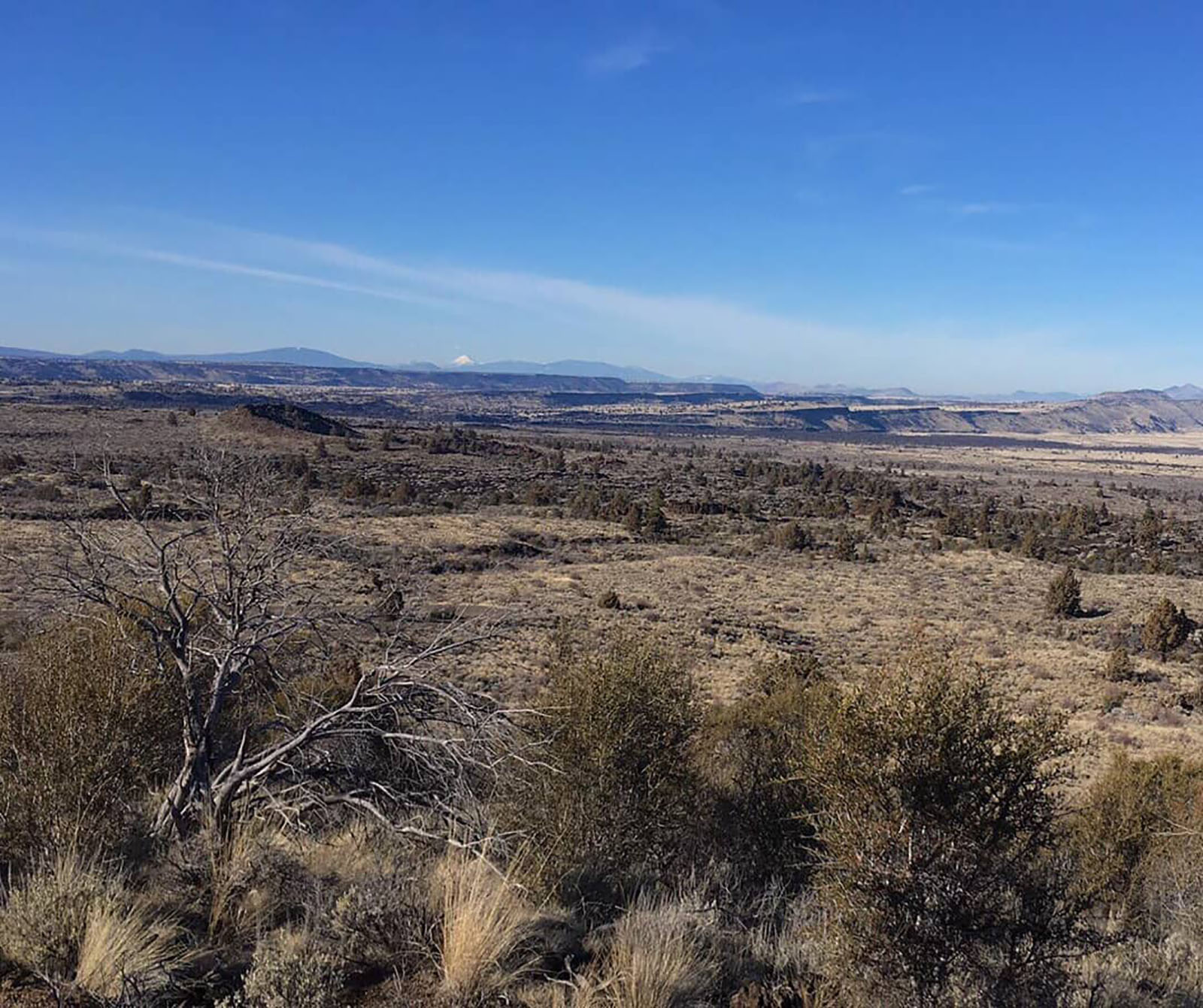 Schonchin Butte Trail Start, Tulelake, CaHikingPhoto: NPS photo by Ranger Aimee0.3 mi
 Schonchin Lookout TrailHikingPhoto: Schonchin, CC BY-SA 3.0 (via Wikimedia Commons)0.3 mi
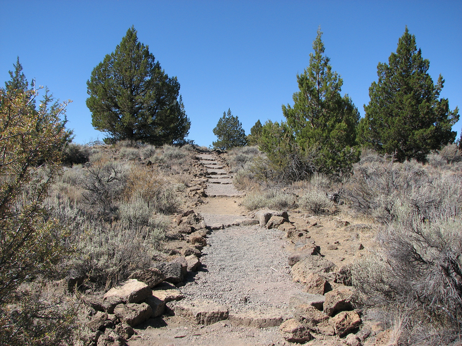 Symbol Bridge Trail Start, Tulelake, CaHiking1.1 mi
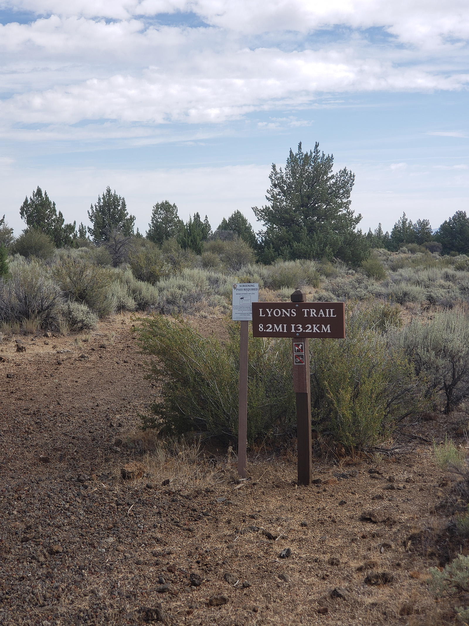 Lyons Trail Start, Tulelake, CaHiking1.1 mi
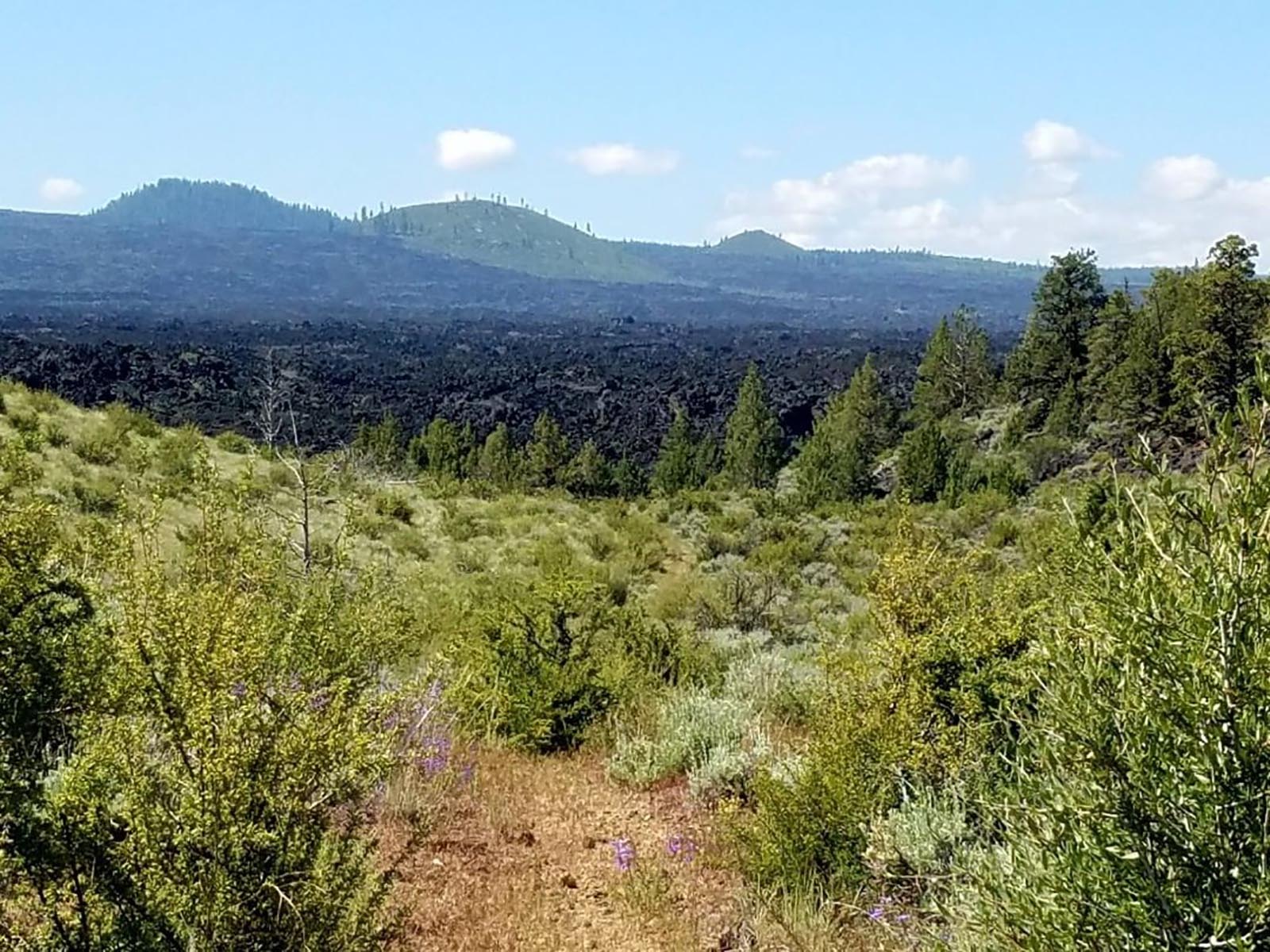 Whitney Butte Trail Start, Tulelake, CaHiking1.3 mi
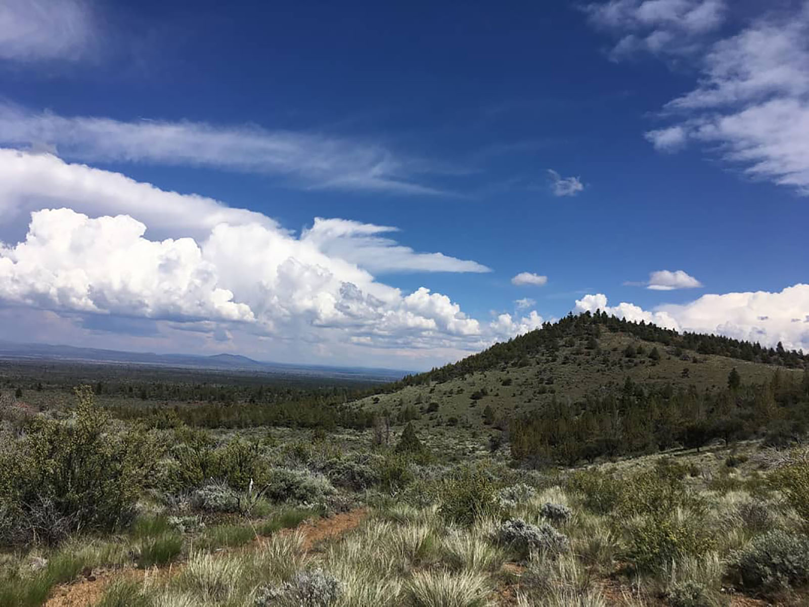 Bunchgrass Trail Start, Tulelake, CAHikingPhoto: NPS photo by Ranger Aimee1.7 mi
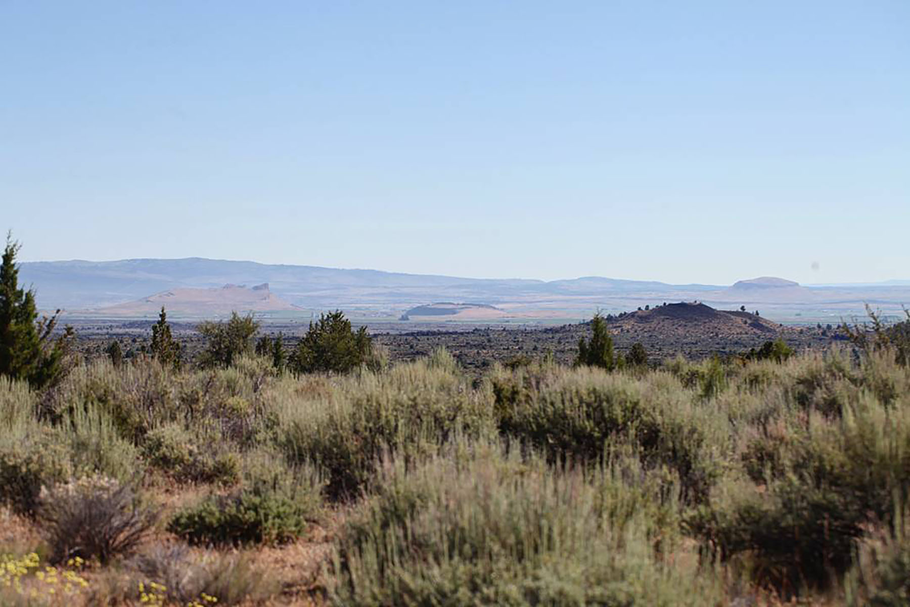 Three Sisters Trail Start, Tulelake, CaHiking1.8 mi
 Caldwell Minor TrailHikingPhoto: bgwashburn, CC BY 2.0 (via Flickr)2.2 mi
Source: Roamze catalog (indexable pages within 10 miles, PostGIS distance)
 Hogback MountainSummit · ~1h 2m drivePhoto: Sethant, CC0 (via Wikimedia Commons)
- Mount ShastaSummit · ~1h 11m drivePhoto: Frank Schulenburg, CC BY-SA 4.0 (via Wikimedia Commons)
 ShastinaSummit · ~1h 13m drivePhoto: KyleAndMelissa22 at English Wikipedia, Public domain (via Wikimedia Commons)
 Black ButteSummit · ~1h 25m drivePhoto: KyleAndMelissa22 (talk) (Uploads), Public domain (via Wikimedia Commons)
- Thomas HillSummit · ~4 min drive
- Harris KnollSummit · ~4 min drive
- GoosenestSummit · ~1h 1m drive
- Misery HillSummit · ~1h 11m drive
- Gray ButteSummit · ~1h 15m drive
- Fort MountainSummit · ~1h 20m drive
Best time to visit Schonchin Butte
Best months: May–June and September–October. Best months have typical highs of 55–85 °F, lows of 30 °F or warmer (32 °F where the station doesn't record snow), at most one snowy day and no more than 12 wet days.
Jan
43° / 23°
10 wet · 6 snow
Feb
46° / 25°
9 wet · 5 snow
Mar
52° / 28°
11 wet · 6 snow
Apr
57° / 31°
10 wet · 4 snow
May
66° / 38°
8 wet · 1 snow
Jun
76° / 44°
6 wet
Jul
86° / 52°
3 wet
Aug
86° / 51°
2 wet
Sep
78° / 45°
3 wet
Oct
66° / 36°
5 wet · 1 snow
Nov
50° / 27°
9 wet · 3 snow
Dec
41° / 22°
9 wet · 5 snow
Typical high / low (°F) and days with rain or snow, 1991–2020. Measured at Lava Beds Nat Mon, CA, 2.9 mi away at 4,770 ft. The station sits about 500 ft lower than this place, so expect it a little cooler here. Source: NOAA NCEI U.S. Climate Normals 1991–2020.
