Mountain · 1 route
Potato Butte
5,295 ft · Oregon
- Summit
- 5,295 ft
- Routes
- 1 way up
Route up Potato Butte
About Potato Butte
Potato Butte is a summit of 5,295 feet in the Clackamas River Ranger District of Mt. Hood National Forest in Oregon, about 15 miles from the town of Idanha. Summer is the most comfortable time to go. Typical averages from a nearby weather station at Santiam Junction show July and August highs around 76°F with lows near 42°F, and the summit sits higher than that station, so expect cooler temperatures up top. Several trails start close by. Fish Lake is about 1.4 miles away and Red Lake Trail #719 about 1.8 miles. For an overnight base, Lower Lake (Olallie) campground is about 2.1 miles off, and the Olallie Lake Guard Station Cabin is about 2.5 miles away.
Forecast on Potato Butte
Daily highs and lows, wind and the chance of precipitation at the summit and route start for the next 7 days, from the Open-Meteo model.
Questions about Potato Butte
How tall is Potato Butte?
5,295 ft (1,614 m).
How many routes go to the summit of Potato Butte?
One: Potato Butte.
Mountains nearby
- Double Peaks6,016 ft · Oregon1 route1.9 mi away
- Bald Butte4,859 ft · Oregon1 route3.2 mi away
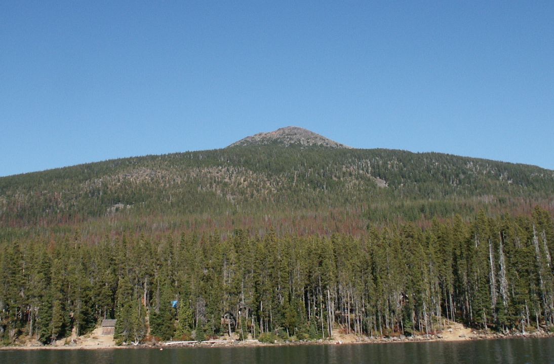 Olallie Butte7,214 ft · Oregon1 route3.7 mi awayPhoto: M.O. Stevens at en.wikipedia, Public domain (via Wikimedia Commons)
- Pyramid Butte6,104 ft · Oregon1 route4.7 mi away
- Bear Point6,042 ft · Oregon1 route5.2 mi away
- Hawk Mountain5,259 ft · Oregon1 route5.7 mi away
Facts about this place
When to go
Best time to go: Jun–Sep. The mildest months here, with typical highs of 65–76°F and lows of 38–42°F.
Typical monthly averages (not a forecast) from the Santiam Junction, OR weather station, 27 mi away. High / low in °F.
- Jan38° high24° low
- Feb41° high24° low
- Mar44° high26° low
- Apr49° high29° low
- May58° high35° low
- Jun65° high38° low
- Jul76° high42° low
- Aug76° high42° low
- Sep69° high39° low
- Oct56° high33° low
- Nov42° high28° low
- Dec36° high23° low
The station sits about 1,500 ft lower than this spot, so expect it to run cooler up here.
Where it is
- Clackamas River Ranger District · Ranger district
- Mt. Hood National Forest · National forest
- Nearest town
- Idanha, Oregon · 15 mi
Conditions
Active alerts for Clackamas River Ranger District as of Oct 9, 2026:
critical · posted Sep 16, 2026
Emergency fire closure on FR 57
caution · posted Aug 27, 2026
Roadside Danger Trees Health and Safety Closure
caution · posted Aug 24, 2026
Source: USFS forest alerts
Nearby
- Fish LakeHiking1.4 mi
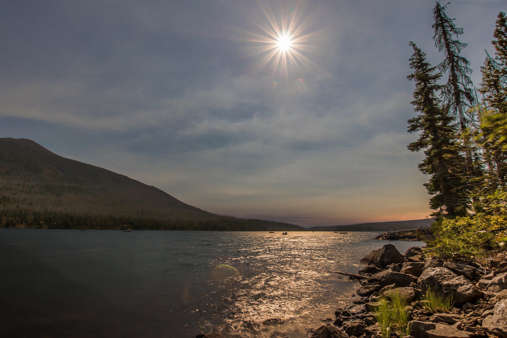 Red Lake Trail #719HikingPhoto: Infinite Dust, CC BY-SA 2.0 (via Flickr)1.8 mi
 Double PeaksHikingPhoto: BHunsaker, CC BY 3.0 (via Wikimedia Commons)1.9 mi
- Lower Lake (olallie)Camping2.1 mi
- Olallie Lake Guard Station CabinCamping2.5 mi
- Paul Dennis (olallie)Camping2.7 mi
- Cub CreekCanoeing2.8 mi
 North Fork Breitenbush RiverCanoeingPhoto: EncMstr, CC BY-SA 3.0 (via Wikimedia Commons)3.4 mi
Source: Roamze catalog (indexable pages within 10 miles, PostGIS distance)
Is Potato Butte open right now?
Closure in the area
There's a closure order in Clackamas River Ranger District. It doesn't name Potato Butte, so check the source for the area it covers.
Clackamas River RD Fires
Agency closure covering Clackamas River Ranger District · Order 06-06-05-26-19 · USFS · Clackamas River Ranger District
Bonanza Trail temporarily closed
Agency alert covering Mt. Hood National Forest · USFS · Mt. Hood National Forest
Emergency fire closure on FR 57
Agency alert covering Clackamas River Ranger District · USFS · Clackamas River Ranger District
Eagle Creek Fire Area Closures
Agency alert covering Mt. Hood National Forest · Order 06-22-01-26-04 · USFS · Mt. Hood National Forest
Roadside Danger Trees Health and Safety Closure
Agency alert covering Clackamas River Ranger District · Order 06-06-05-26-02 · USFS · Clackamas River Ranger District
As of · Source: USFS · Clackamas River Ranger District. Agencies don't list every closure — check before you go.
Best time to visit Potato Butte
Best months: May–October. Best months have typical highs of 55–85 °F, lows of 30 °F or warmer (32 °F where the station doesn't record snow), at most one snowy day and no more than 12 wet days.
Jan
38° / 24°
Feb
41° / 24°
Mar
44° / 26°
Apr
49° / 29°
May
58° / 35°
Jun
65° / 38°
Jul
76° / 42°
Aug
76° / 42°
Sep
69° / 39°
Oct
56° / 33°
Nov
42° / 28°
Dec
36° / 23°
Typical high / low (°F) and days with rain or snow, 1991–2020. Measured at Santiam Junction, OR, 27.3 mi away at 3,750 ft. The station sits about 1,500 ft lower than this place, so expect it a little cooler here. This station doesn't record snowfall. Source: NOAA NCEI U.S. Climate Normals 1991–2020.
