North Fork Chetco River
- 10.6 mi
- distance
- 1,149 ft
- high point
- Feb–Nov
- best months
The North Fork Chetco River is a 11-mile paddling stretch near Brookings, Oregon, on land managed by the Bureau of Land Management's Coos Bay Myrtlewood Field Office. It flows year-round, with typical averages from a nearby weather station in Brookings showing a gradient of about 101.6 feet per mile and an average flow of about 243 cubic feet per second. Summer is the most comfortable time to paddle. Typical July and August highs reach about 67°F with lows in the low 50s, while winter highs sit in the low to mid 50s. That station sits well below the river, so temperatures on the water run cooler. Nearby, the Redwood Nature and Riverview Nature Trail hikes are both within about 4.5 miles, and the Miller Bar and Nook Bar campgrounds are close by for overnight stays.
Local outfitters
- Jerry's Rogue Jets21 mi away
Not on Roamze yet. Their page has how to reach them.
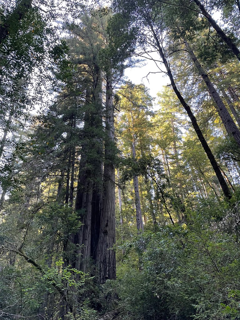 Redwood NatureHikingPhoto: bsterling, CC BY-SA 2.0 (via Flickr)3.8 mi
 Riverview Nature TrailHikingPhoto: Rick Obst, CC BY 2.0 (via Flickr)4.4 mi
- Miller BarCamping4.5 mi
 Oregon Coast TrailHikingPhoto: zappowbang, CC BY-SA 2.0 (via Flickr)4.6 mi
- Nook BarCamping5.6 mi
- South Fork Pistol RiverCanoeing6.2 mi
- Redwood BarCamping6.3 mi
- Eagle CreekCanoeing8.1 mi
Source: Roamze catalog (indexable pages within 10 miles, PostGIS distance)
 Smith RiverCanoeing · ~43 min drivePhoto: BigT67, CC BY-SA 3.0 (via Wikimedia Commons)
- North Fork River AccessBoat launch · ~33 min drive
- Grassy Flat CampgroundFloat trip · ~47 min drive
 Winchuck RiverCanoeing · ~17 min drivePhoto: United States Forest Service, Public domain (via Wikimedia Commons)
- Quosatana Boat RampBoat launch · ~43 min drive
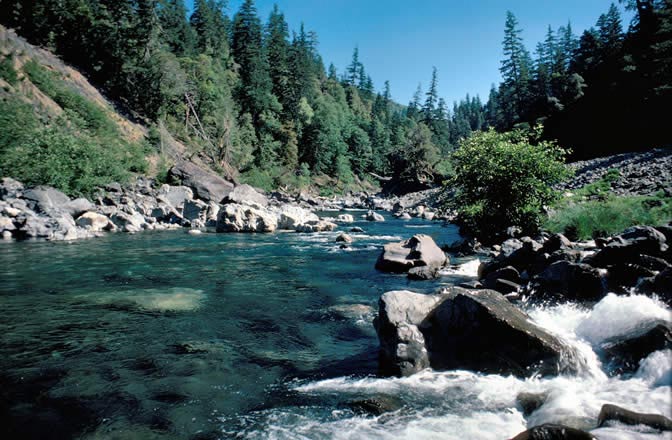 Chetco RiverCanoeing · ~33 min drivePhoto: Lee Webb, Public domain (via Wikimedia Commons)
- South Fork Pistol RiverCanoeing · ~11 min drive
- Eagle CreekCanoeing · ~14 min drive
- East Fork Winchuck RiverCanoeing · ~19 min drive
- South Fork Chetco RiverCanoeing · ~20 min drive
Also worth it near here
Best time to visit North Fork Chetco River
Best months: February–November. Best months have typical highs of 55–85 °F, lows of 30 °F or warmer (32 °F where the station doesn't record snow), at most one snowy day and no more than 12 wet days.
Jan
54° / 44°
Feb
55° / 43°
Mar
55° / 43°
Apr
58° / 45°
May
62° / 48°
Jun
65° / 51°
Jul
67° / 53°
Aug
66° / 54°
Sep
67° / 52°
Oct
63° / 49°
Nov
57° / 46°
Dec
53° / 43°
Typical high / low (°F) and days with rain or snow, 1991–2020. Measured at Brookings, OR, 6.6 mi away at 82 ft. The station sits about 1,100 ft lower than this place, so expect it a little cooler here. This station doesn't record snowfall. Source: NOAA NCEI U.S. Climate Normals 1991–2020.


