Sun Country Tours
Rafting business nearby (~5 mi away) — hasn't claimed their Roamze page yet
Big River
Free — you'll pick up right here.
Watch this water
Sign up to watch it — saving subscribes you to gate, closure and report changes.
Oregon
We won't guess. Here is exactly what we do and don't know.
What we do know
Inside Deschutes National Forest
2 managing-area boundaries mapped — agency alerts for them feed this page automatically.
Boundary data
What's missing
No access route mapped
We don't yet know which road reaches this trailhead, so we can't tell you if it's gated.
Nobody's filed a report here yet — be the first.
Big River
AI-suggested draft · review before you go
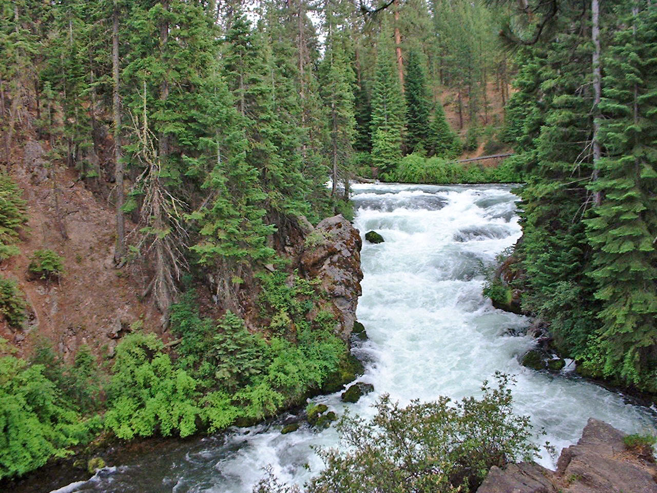
Overview Big River Campground is located along the Deschutes River south of the town of Sunriver. Large, open group sites offer a perfect setting for family reunions or group gatherings. Recreation Popular activities in the area include hiking, fishing and rafting in the summer months and cross-country skiing and snowshoeing in the winter. Big River provides the perfect place to launch a canoe or kayak into the Deschutes River. Only non-motorized boating is permitted on the river, and the water is Class II flatwater for about 6 miles below Sunriver. The Deschutes River is renowned for its fly fishing, and sustains populations of kokanee, rainbow, bull and brown trout. Boat fishing or drift fishing is the best way to catch fish at this part of the river.Facilities Big River Campground offers three group sites that accommodate both tent and RV camping and 10 single sites.The sites are equipped with picnic tables, campfire rings with grills and vault toilets. A boat launch is located across the road and provides access to the waterfront. Natural Features Nearby peaks, lava flows and Ponderosa pine stands provide visitors with a variety of landscapes, showcasing ecosystems typical of central Oregon. The Deschutes River, a tributary of the Columbia River, is central to the campground. The river flows through areas of ponderosa and aspen, with its shoreline varying from marshy meadows to basalt bedrock. Flows fluctuate less on this part of the river because of tributaries, and the river features many deep pools, a relatively stable bank and rocky in-stream structure. Wildlife found in the area include deer, elk, native fish and migratory birds. Nearby Attractions Visitors can explore wilderness areas, rivers, lakes and reservoirs, and hundreds of miles of hiking trails. Newberry National Volcanic Monument offers a glimpse into Central Oregon's rich geologic history. Travel 12 miles to Lava Lands Visitor Center to explore exhibits at the interpretive center, attend a ranger talk, take in scenic views from the top of Lava Butte and travel one-mile underground through Lava River Cave. Travel 25 miles to Newberry Caldera to visit Paulina and East Lake, Paulina Peak and Paulina Falls. Big River Campground offers easy access to the Cascade Lakes Scenic Byway which weaves through multiple high lakes with views of South Sister, Broken Top and Mt. Bachelor.
 Photo: Robert Ashworth, CC BY 2.0 (via Wikimedia Commons)
South Fork McKenzie River
~47 min drive
South Fork McKenzie River is a 16-mile paddling stretch near McKenzie Bridge, Oregon. It is intermittent and may run dry in some seasons. USGS models an average flow of about 890 cfs and a gradient of about 209.8 feet per mile. Land along it is managed by the U.S. Forest Service.
Big River Boat Ramp
~0 min drive
Big River Boat Ramp is a boat launch in Oregon.
Gull Point Campground
~26 min drive
A worthwhile stop near Oregon.
 Photo: James B. Norman and Murray Stone, Photographers, Public domain (via Wikimedia Commons)
Horse Creek
~49 min drive
Horse Creek is a 15-mile paddling stretch near McKenzie Bridge, Oregon. It flows year-round. USGS models an average flow of about 595 cfs and a gradient of about 192.8 feet per mile. Land along it is managed by the U.S. Forest Service.
Harper Bridge River Access
~7 min drive
Harper Bridge River Access is a boat launch in Oregon.
 Photo: Jsayre64, CC BY-SA 3.0 (via Wikimedia Commons)
North Fork Middle Fork Willamette River
~57 min drive
North Fork Middle Fork Willamette River is a 24-mile paddling stretch near Oakridge, Oregon. It flows year-round. USGS models an average flow of about 788 cfs and a gradient of about 120.8 feet per mile. Land along it is managed by the U.S. Forest Service.
Wyeth Boating Site
~14 min drive
A worthwhile stop near Oregon.
 Photo: Ian Sane, CC BY 2.0 (via Wikimedia Commons)
Whychus Creek
~58 min drive
Whychus Creek is a 35-mile paddling stretch near Sisters, Oregon. It is intermittent and may run dry in some seasons. USGS models an average flow of about 311 cfs and a gradient of about 79.1 feet per mile.
Tenino Boating Site
~22 min drive
A worthwhile stop near Oregon.
 Photo: JAR, CC BY 2.0 (via Wikimedia Commons)
French Pete Creek
~57 min drive
French Pete Creek is a 14-mile paddling stretch near McKenzie Bridge, Oregon. It is intermittent and may run dry in some seasons. USGS models an average flow of about 128 cfs and a gradient of about 213.9 feet per mile. Land along it is managed by the U.S. Forest Service.
Local operatorsoffering guided trips. You book directly with them — Roamze doesn’t take a cut.
Sun Country Tours
Rafting business nearby (~5 mi away) — hasn't claimed their Roamze page yet
Wanderlust Tours
Rafting business nearby (~18 mi away) — hasn't claimed their Roamze page yet
Shelter Cove Resort & Marina
Rafting business nearby (~32 mi away) — hasn't claimed their Roamze page yet
