Harper Bridge River Access
- May–Sep
- best months
Is Harper Bridge River Access open right now?
Closure in the area
There's a closure order in Deschutes National Forest. It doesn't name Harper Bridge River Access, so check the source for the area it covers (3 listed).
West Bend Area Trail Closures
Agency closure covering Deschutes National Forest · USFS · Deschutes National Forest
West Bend IRSC- Area, Road and Trail Closure
Agency closure covering Bend/Fort Rock Ranger District · Order 06-01-01-26-03 · USFS · Bend/Fort Rock Ranger District
Cabin Butte Area Closure
Agency closure covering Bend/Fort Rock Ranger District · Order 06-01-01-26-01 · USFS · Bend/Fort Rock Ranger District
Camping & Campfire Restrictions Forest Order
Agency alert covering Deschutes National Forest · Order 06-01-26-01 · USFS · Deschutes National Forest
Cave Resource Protection Forest Order
Agency alert covering Deschutes National Forest · Order 06-01-26-02 · USFS · Deschutes National Forest
As of · Source: USFS · Deschutes National Forest. Agencies don't list every closure — check before you go.
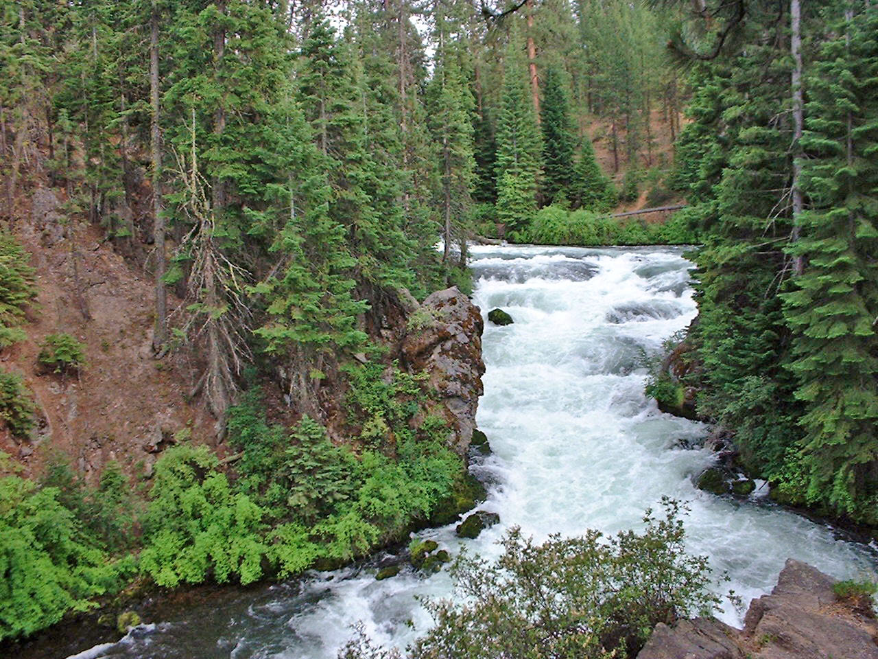
Harper Bridge River Access is a boat launch on the Deschutes National Forest's Bend/Fort Rock Ranger District, about 1.6 miles from Sunriver, Oregon. Summer is the warmest stretch for getting on the water. Typical averages from a nearby weather station in Sunriver put July highs around 84°F with lows near 41°F, while September cools to highs in the mid-70s. The launch sits within a cluster of trails and campgrounds. Swan Song is about 1.4 miles away, and the Sunriver Horse and Roundabout hikes are each about 2.5 miles off. For an overnight stay, Big River Campground is roughly 3.9 miles away.
- Swan SongHiking1.4 mi
- Sunriver HorseHiking2.5 mi
 RoundaboutHikingPhoto: Nicolás Boullosa from Fontainebleau, France, CC BY 2.0 (via Wikimedia Commons)2.5 mi
- Chain ReactionHikingPhoto: Nicolás Boullosa from Fontainebleau, France, CC BY 2.0 (via Wikimedia Commons)3.1 mi
- Elko PointHiking3.4 mi
 Big RiverCampingPhoto: Recreation.gov (RIDB) / public domain3.9 mi
- Ogden Group SiteCamping9.4 mi
- PrairieCamping9.6 mi
Source: Roamze catalog (indexable pages within 10 miles, PostGIS distance)
 Horse CreekCanoeing · ~50 min drivePhoto: James B. Norman and Murray Stone, Photographers, Public domain (via Wikimedia Commons)
- Big River Boat RampBoat launch · ~7 min drive
- Big RiverFloat trip · ~7 min drive
- Gull Point CampgroundTubing · ~33 min drive
 Whychus CreekCanoeing · ~53 min drivePhoto: Ian Sane, CC BY 2.0 (via Wikimedia Commons)
- Lava Island Boating SiteBoat launch · ~15 min drive
 French Pete CreekCanoeing · ~59 min drivePhoto: JAR, CC BY 2.0 (via Wikimedia Commons)
- Little Crater Boating SiteBoat launch · ~23 min drive
 North Fork Middle Fork Willamette RiverCanoeing · ~1h 1m drivePhoto: Jsayre64, CC BY-SA 3.0 (via Wikimedia Commons)
- Cinder Hill Boating SiteBoat launch · ~27 min drive
Best time to visit Harper Bridge River Access
Best months: May–September. Best months have typical highs of 55–85 °F, lows of 30 °F or warmer (32 °F where the station doesn't record snow), at most one snowy day and no more than 12 wet days.
Jan
40° / 20°
Feb
43° / 21°
Mar
50° / 24°
Apr
57° / 25°
May
65° / 33°
Jun
72° / 37°
Jul
84° / 41°
Aug
83° / 40°
Sep
76° / 34°
Oct
62° / 28°
Nov
46° / 24°
Dec
37° / 19°
Typical high / low (°F) and days with rain or snow, 1991–2020. Measured at Sunriver, OR, 2.9 mi away at 4,180 ft. This station doesn't record snowfall. Source: NOAA NCEI U.S. Climate Normals 1991–2020.
Map and trail data © OpenStreetMap contributors
