Winema
- 3.0 mi
- round trip
- 926 ft
- climb
- 5,037 ft
- high point
- Out and back
- route
- May–Jun, Sep
- best months
Winema is a moderate out-and-back hike in southern Oregon, about 5 miles from the Running Y Ranch. The route is roughly 6 miles long, with a total climb of about 900 feet, and it reaches a high point of about 5,000 feet. The trail starts at around 4,180 feet and climbs steadily, with the steepest stretch near the beginning at about 12%. The climb is rolling rather than a single push, and the route returns to the starting elevation. Summer is the most comfortable time to go. Typical averages from the nearby Keno weather station show July highs around 88°F with lows near 49°F, while winter highs sit in the low 40s. That station sits about 900 feet lower than the trail's high point, so temperatures on the summit run cooler. Several other hikes lie within a couple of miles, including North Star, Speed King and South Ridge Trail. Spence Mountain Bouldering is about 1.6 miles away.
Local outfitters
- Yamsi Fly Fishing11 mi away
- Crater Lake Zipline and Kayak Tours11 mi away
Not on Roamze yet. Their page has how to reach them.
Best time to go · May–Jun, Sep
Best time to visit Winema
Best months: May–June and September. Best months have typical highs of 55–85 °F, lows of 30 °F or warmer (32 °F where the station doesn't record snow), at most one snowy day and no more than 12 wet days.
Jan
41° / 21°
12 wet
Feb
46° / 23°
10 wet
Mar
52° / 26°
11 wet
Apr
58° / 30°
10 wet
May
68° / 37°
8 wet
Jun
77° / 43°
5 wet
Jul
88° / 49°
3 wet
Aug
87° / 47°
2 wet
Sep
79° / 39°
3 wet
Oct
64° / 31°
6 wet
Nov
49° / 25°
10 wet
Dec
40° / 21°
12 wet
Typical high / low (°F) and days with rain or snow, 1991–2020. Measured at Keno, OR, 17.2 mi away at 4,128 ft. The station sits about 900 ft lower than this place, so expect it a little cooler here. This station doesn't record snowfall. Source: NOAA NCEI U.S. Climate Normals 1991–2020.
Keep exploring — more trails worth the drive
 Photo: lexly87 aka Duc N. Ly, CC BY-SA 2.0 (via Flickr)
South Ridge Trail
~2 min drive
4.43-mile out-and-back hike on Oregon's South Ridge Trail with 1,457 ft gain.
Photo: lexly87 aka Duc N. Ly, CC BY-SA 2.0 (via Flickr)Queen of the Lake
~2 min drive
1.94-mile out-and-back trail in Oregon with 576 ft elevation gain.
HIKE
Spence Peak Trail
~4 min drive
5.78-mile out-and-back hike to Spence Peak in Oregon with 1,683 ft gain.
HIKE
SWAN LAKE POINT
~15 min drive
23.4-mile out-and-back trail in Oregon with 2,877 ft elevation gain/loss
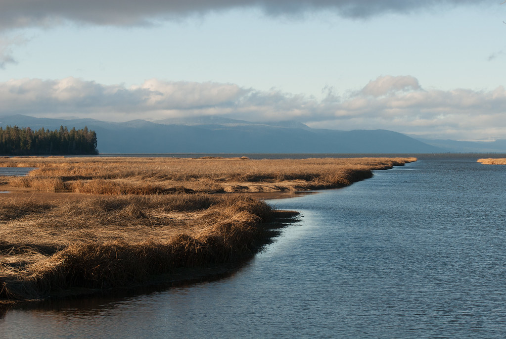 Photo: Jesse Wagstaff, CC BY 2.0 (via Flickr)
Captain Jack
~5 min drive
2.87-mile out-and-back trail in Oregon with 824 ft gain
Photo: Jesse Wagstaff, CC BY 2.0 (via Flickr)Modoc
~5 min drive
2.31-mile out-and-back trail in Oregon with 363 ft of elevation gain
HIKE
North Ridge
~5 min drive
North Ridge is a 2.42-mile out-and-back trail in Oregon with 266 ft gain.
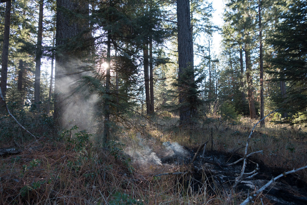 Photo: Jesse Wagstaff, CC BY 2.0 (via Flickr)
Nighthawk
~5 min drive
1.72-mile out-and-back trail in Oregon with 1,167 ft elevation gain
Photo: Jesse Wagstaff, CC BY 2.0 (via Flickr)Old Eagle
~7 min drive
1.70-mile out-and-back trail in Oregon with 421 ft gain
HIKE
Mountain Lakes Loop
~16 min drive
8.20-mile loop trail in Oregon with 1,998 ft elevation gain.

Map and trail data © OpenStreetMap contributors
