Willow Creek Trail
- 0.4 mi
- round trip
- 28 ft
- climb
- 198 ft
- high point
- Out and back
- route
- Jun–Sep
- best months
Willow Creek Trail is a short, easy out-and-back hike in Oregon's Winthrop Park, on land managed by a regional agency. The trail is about 0.35 miles long, and the round trip adds up to roughly 0.7 miles with a total elevation gain of about 28 feet. The route is nearly flat, with the steepest stretch at about 0.28 miles in, where the grade reaches about 2 percent. Summer is the most comfortable time to go. Typical averages from a nearby weather station show July and August highs around 81 to 82°F with only about four wet days a month, while winter months bring highs near 50°F and rain on most days. The trip takes about half an hour, so it works well as a quick stop. Beaverton Creek, a canoeing spot, is about 1.5 miles away, and the Westside Trail and Waterhouse Trail are both about 1.8 miles off.
Local outfitters
- Basecamp Adventure Co.8 mi away
- Wildwood Adventures8 mi away
Not on Roamze yet. Their page has how to reach them.
Best time to go · Jun–Sep
Best time to visit Willow Creek Trail
Best months: June–September. Best months have typical highs of 55–85 °F, lows of 30 °F or warmer (32 °F where the station doesn't record snow), at most one snowy day and no more than 12 wet days.
Jan
50° / 40°
20 wet
Feb
54° / 40°
17 wet
Mar
58° / 42°
19 wet
Apr
63° / 45°
17 wet
May
70° / 50°
14 wet
Jun
73° / 53°
10 wet
Jul
81° / 56°
4 wet
Aug
82° / 57°
4 wet
Sep
76° / 52°
9 wet
Oct
65° / 47°
17 wet
Nov
55° / 43°
19 wet
Dec
49° / 40°
19 wet
Typical high / low (°F) and days with rain or snow, 1991–2020. Measured at Nature Park-Beaverton, OR, 2.1 mi away at 185 ft. This station doesn't record snowfall. Source: NOAA NCEI U.S. Climate Normals 1991–2020.
Keep exploring — more trails worth the drive
 Photo: M.O. Stevens, CC BY-SA 3.0 (via Wikimedia Commons)
South Loop Trail
~5 min drive
0.41-mile loop trail in Oregon with 78 ft elevation gain.
 Photo: Jon Roberts from Austin TX, USA, CC BY-SA 2.0 (via Wikimedia Commons)
Maple Trail
~8 min drive
A 3.39-mile out-and-back forest walk through Oregon's maple woodlands.
 Photo: mjfmjfmjf, CC BY 2.0 (via Flickr)
Wildwood Trail
~8 min drive
Nearly 30-mile point-to-point trail through Oregon's varied terrain.
 Photo: Drew Stefani, CC BY-SA 2.0 (via Flickr)
Alder Ridge Trail
~6 min drive
1.04-mile out-and-back trail in Oregon with 297 ft elevation gain and loss.
HIKE
Northwest Firelane 1 Road
~10 min drive
1.02-mile out-and-back trail on Northwest Firelane 1 Road in Oregon.
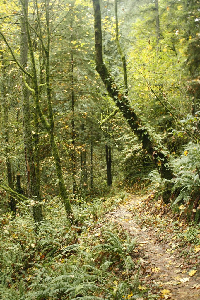 Photo: Evan-Lovely, CC BY-SA 2.0 (via Flickr)
Skyline Trail
~8 min drive
1.44-mile out-and-back trail in Oregon with 568 ft elevation gain
Photo: mjfmjfmjf, CC BY 2.0 (via Flickr)Water Line Trail
~8 min drive
0.69-mile out-and-back trail in Oregon with 181 ft gain and 230 ft loss.
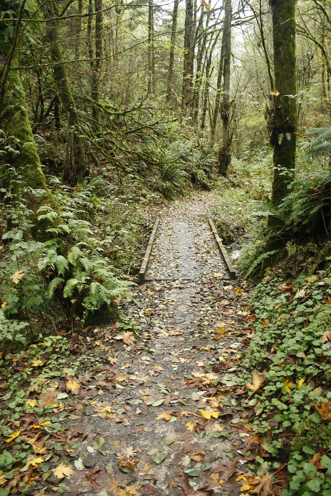 Photo: Evan-Lovely, CC BY-SA 2.0 (via Flickr)
Chestnut Trail
~9 min drive
0.49-mile out-and-back trail in Oregon with 146 ft gain.
 Photo: mark.sopelana, CC BY 2.0 (via Flickr)
Cannon Trail
~9 min drive
Short out-and-back trail perfect for a quick Oregon hike.
Photo: Jon Roberts from Austin TX, USA, CC BY-SA 2.0 (via Wikimedia Commons)Nature Trail
~9 min drive
0.89-mile out-and-back hike in Oregon with 421 ft of elevation gain.

Map and trail data © OpenStreetMap contributors
