South Loop Trail
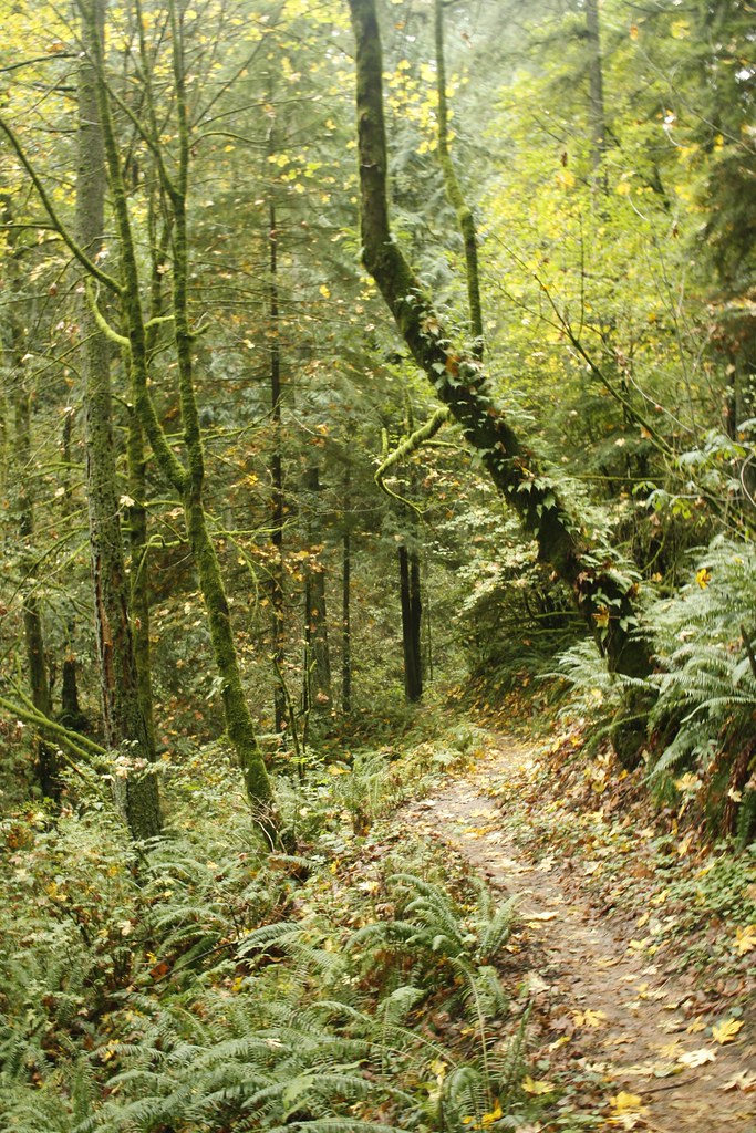
 Photo: M.O. Stevens, CC BY-SA 3.0 (via Wikimedia Commons)
- 0.4 mi
- loop
- 78 ft
- climb
- 248 ft
- high point
- Loop
- route
- May–Sep
- best months
South Loop Trail is a short, easy loop in Noble Woods Park, a city-managed park in Oregon. The trail is about 0.4 miles long, with a total climb of 78 feet, and it makes a steady, low-effort outing that works well as a quick stop or a warm-up before heading to other spots in the area. Summer is the most comfortable time to go. Typical averages from a nearby weather station show July and August highs around 82°F with only about four wet days a month, while winter months bring highs in the mid-40s and rain on most days. Several other trails and paddling routes lie within a few miles. Rock Creek Trail is about 2.3 miles away, and Willow Creek Trail is about 3.2 miles away. Paddlers can try Beaverton Creek, about 2.7 miles off, or Rock Creek, about 2.8 miles away.
Local outfitters
- Adventures Without Limits9 mi away
- Cascadia Wild12 mi away
Not on Roamze yet. Their page has how to reach them.
- Rock Creek TrailHiking2.3 mi
- Beaverton CreekCanoeing2.7 mi
- Rock CreekCanoeing2.8 mi
- Willow Creek TrailHiking3.2 mi
- Coyote Hill Seasonal TrailHiking3.2 mi
- Oregon Ash TrailHiking3.3 mi
 Dairy CreekCanoeingPhoto: M.O. Stevens, CC BY 3.0 (via Wikimedia Commons)5.9 mi
- McKay CreekCanoeing8 mi
Source: Roamze catalog (indexable pages within 10 miles, PostGIS distance)
 Little Prairie LoopHiking · ~9 min drivePhoto: mjfmjfmjf, CC BY 2.0 (via Flickr)
 Wildwood TrailHiking · ~13 min drivePhoto: mjfmjfmjf, CC BY 2.0 (via Flickr)
- Fanno Creek TrailHiking · ~13 min drive
 Cooper Mountain LoopHiking · ~9 min drivePhoto: mjfmjfmjf, CC BY 2.0 (via Flickr)
 Alder Ridge TrailHiking · ~12 min drivePhoto: Drew Stefani, CC BY-SA 2.0 (via Flickr)
- Water Line TrailHiking · ~13 min drivePhoto: mjfmjfmjf, CC BY 2.0 (via Flickr)
 Skyline TrailHiking · ~13 min drivePhoto: Evan-Lovely, CC BY-SA 2.0 (via Flickr)
- Tualatin Valley TrailHiking · ~3 min drive
- Rock Creek TrailHiking · ~3 min drive
- Rock Creek TrailHiking · ~4 min drive
Best time to visit South Loop Trail
Best months: May–September. Best months have typical highs of 55–85 °F, lows of 30 °F or warmer (32 °F where the station doesn't record snow), at most one snowy day and no more than 12 wet days.
Jan
47° / 34°
19 wet
Feb
51° / 33°
16 wet
Mar
56° / 36°
18 wet
Apr
61° / 39°
16 wet
May
69° / 45°
12 wet
Jun
74° / 49°
8 wet
Jul
82° / 52°
4 wet
Aug
82° / 52°
4 wet
Sep
76° / 48°
8 wet
Oct
64° / 41°
15 wet
Nov
53° / 36°
19 wet
Dec
46° / 33°
20 wet
Typical high / low (°F) and days with rain or snow, 1991–2020. Measured at Portland-Hillsboro Ap, OR, 2.2 mi away at 204 ft. This station doesn't record snowfall. Source: NOAA NCEI U.S. Climate Normals 1991–2020.
Map and trail data © OpenStreetMap contributors
