Chestnut Trail
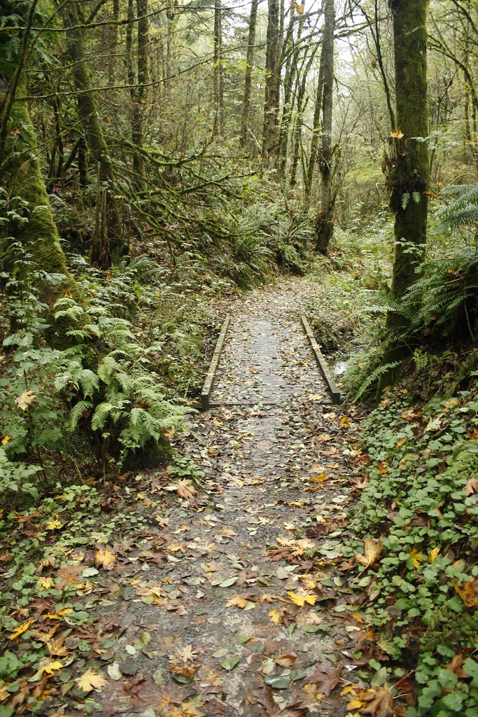 Photo: Evan-Lovely, CC BY-SA 2.0 (via Flickr)
- 0.5 mi
- round trip
- 573 ft
- climb
- 791 ft
- high point
- Out and back
- route
Chestnut Trail is a short, easy hike in Forest Park, a city-managed land unit in Oregon, about half a mile from the center of the park. The trail is an out-and-back, roughly a mile long, with a total climb of about 570 feet. The steepest stretch comes early on, around 0.1 mile in, with a grade of about 16 percent. Summer is the most comfortable time to go. Typical averages from a nearby weather station show July and August highs around 80°F, with only three or four wet days a month. That station sits well below the trail, so temperatures on the higher ground run cooler. Several other routes start close by. Nature Trail is about 0.2 miles away, and Maple Trail is about 0.4 miles away. Northwest Firelane 1 Road, a mountain biking route, is also about 0.4 miles off. For paddling, Beaverton Creek is about 6 miles away.
Local outfitters
- Wylark Mountaineering4 mi away
- Basecamp Adventure Co.4 mi away
Not on Roamze yet. Their page has how to reach them.
Keep exploring — more trails worth the drive
 Photo: Jon Roberts from Austin TX, USA, CC BY-SA 2.0 (via Wikimedia Commons)
Nature Trail
Next door
0.89-mile out-and-back hike in Oregon with 421 ft of elevation gain.
Photo: Jon Roberts from Austin TX, USA, CC BY-SA 2.0 (via Wikimedia Commons)Maple Trail
Next door
A 3.39-mile out-and-back forest walk through Oregon's maple woodlands.
 Photo: mjfmjfmjf, CC BY 2.0 (via Flickr)
Wildwood Trail
~5 min drive
Nearly 30-mile point-to-point trail through Oregon's varied terrain.
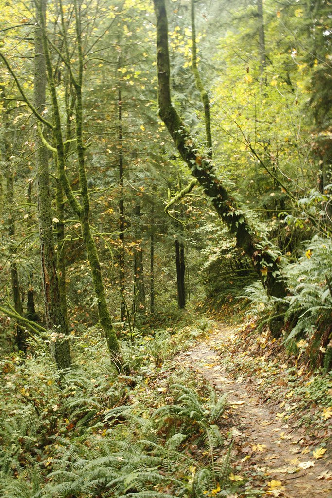 Photo: Evan-Lovely, CC BY-SA 2.0 (via Flickr)
Skyline Trail
Next door
1.44-mile out-and-back trail in Oregon with 568 ft elevation gain
 Photo: mjfmjfmjf, CC BY 2.0 (via Flickr)
Wild Cherry Trail
~2 min drive
0.82-mile out-and-back trail in Oregon with 481 ft elevation gain.
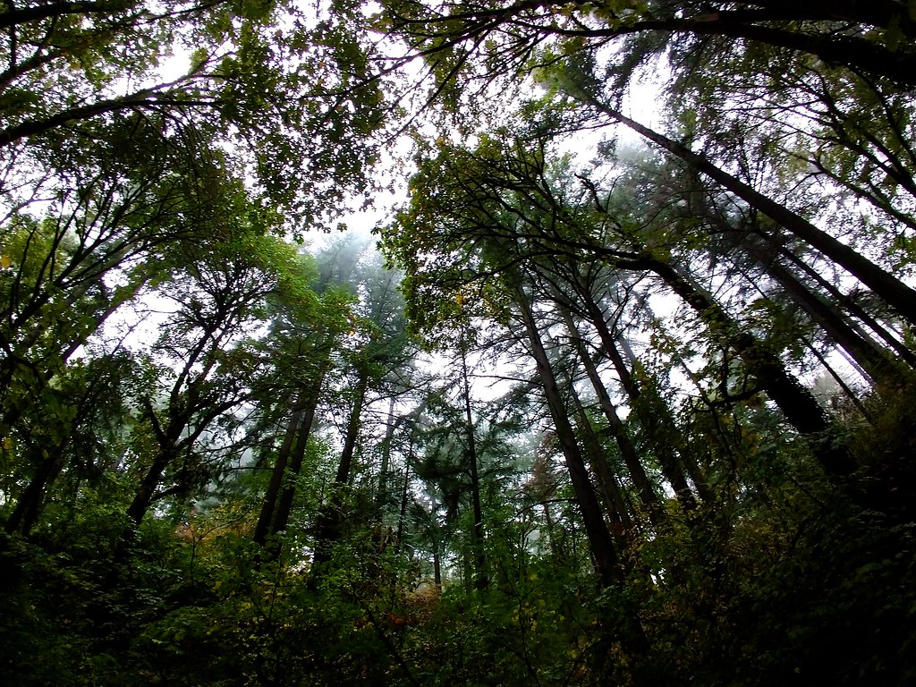 Photo: Ben Laufer, CC BY 2.0 (via Flickr)
Alder Trail
~2 min drive
0.82-mile out-and-back hike with 409 ft gain in Oregon.
HIKE
Northwest Firelane 1 Road
~2 min drive
1.02-mile out-and-back trail on Northwest Firelane 1 Road in Oregon.
Photo: mjfmjfmjf, CC BY 2.0 (via Flickr)Dogwood Trail
~2 min drive
0.99-mile out-and-back hike in Oregon with 523 ft elevation gain
 Photo: Drew Stefani, CC BY-SA 2.0 (via Flickr)
Alder Ridge Trail
~2 min drive
1.04-mile out-and-back trail in Oregon with 297 ft elevation gain and loss.
Photo: mjfmjfmjf, CC BY 2.0 (via Flickr)North Collins Trail
~3 min drive
0.54-mile out-and-back hike on North Collins Trail in Oregon.
Also worth it near here
Map and trail data © OpenStreetMap contributors
