Williamson River Cg
- 2.6 mi
- round trip
- 210 ft
- climb
- 4,210 ft
- high point
- Out and back
- route
- May–Sep
- best months
Caution today
Agency alerts are in effect for this area; weather is good · USFS, OpenWeather · checked 6 h ago
Is Williamson River Cg open right now?
No closures listed
The Forest Service lists no closures for Fremont-Winema National Forest.
As of · Source: USFS · Fremont-Winema National Forest. Agencies don't list every closure — check before you go.
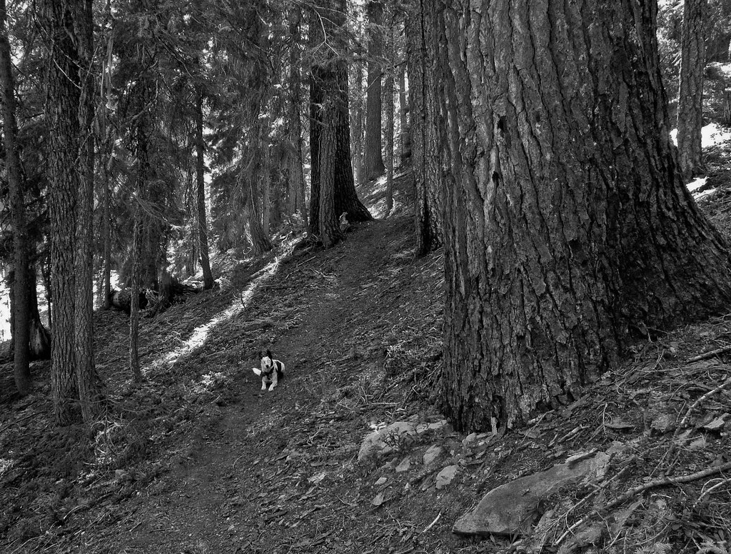
Williamson River Campground is a short, easy trail on natural surface in the Chiloquin Ranger District of the Fremont-Winema National Forest in Oregon, managed by the Forest Service. The route is about 2.6 miles long, with a low point at 4,192 feet and a high at 4,210 feet. The steepest section comes at about 0.67 miles in, with a 5% grade. Summer is the most comfortable time to go. Typical averages from a nearby weather station at Chiloquin show July highs around 85°F with lows near 42°F and only about three wet days in the month. Winter is much colder, with December highs around 39°F and snow on about seven days. Horses are allowed, and the trail is not accessible. Williamson River Campground sits just 0.1 mile away, and the climbing areas 1st Wall and Elephant Wall are about a mile off. The Williamson River fishing access is roughly 5.3 miles away.
Local outfitters
- Sky Lakes Wilderness Adventures6 mi away
- Yamsi Fly Fishing30 mi away
Not on Roamze yet. Their page has how to reach them.
- Williamson River CampgroundCamping0.1 mi
- 1st WallRock climbing1 mi
- Elephant WallRock climbing1.1 mi
- Williamson River CliffsRock climbing1.1 mi
- Williamson RiverRiver fishing5.3 mi
- Jackson F Kimball CampgroundCamping8.4 mi
Source: Roamze catalog (indexable pages within 10 miles, PostGIS distance)
 Wood RiverHiking · ~13 min drivePhoto: Forest Service Pacific Northwest Region, Public Domain Mark (via Flickr)
 Malone Boat LaunchHiking · ~26 min drivePhoto: Walter Siegmund (talk), CC BY 2.5 (via Wikimedia Commons)
 Rogue Wolf LoopHiking · ~31 min drivePhoto: cm195902, CC BY 2.0 (via Flickr)
 Snow LakesHiking · ~32 min drivePhoto: ex_magician, CC BY 2.0 (via Flickr)
 The Pinnacles TrailHiking · ~26 min drivePhoto: U.S. Forest Service- Pacific Northwest Region, Public domain (via Wikimedia Commons)
 Nannie Creek TrailHiking · ~31 min drivePhoto: U.S. Forest Service- Pacific Northwest Region, Public domain (via Wikimedia Commons)
- THREEMILE LOOPHiking · ~22 min drive
- DRY CREEK LOOPHiking · ~20 min drive
 Wocus CutHiking · ~28 min drivePhoto: Walter Siegmund (talk), CC BY 2.5 (via Wikimedia Commons)
 DivideHiking · ~31 min drivePhoto: U.S. Forest Service- Pacific Northwest Region, Public domain (via Wikimedia Commons)
Best time to visit Williamson River Cg
Best months: May–September. Best months have typical highs of 55–85 °F, lows of 30 °F or warmer (32 °F where the station doesn't record snow), at most one snowy day and no more than 12 wet days.
Jan
39° / 19°
13 wet · 6 snow
Feb
44° / 22°
11 wet · 5 snow
Mar
50° / 25°
11 wet · 4 snow
Apr
57° / 28°
10 wet · 2 snow
May
66° / 33°
8 wet
Jun
75° / 37°
4 wet
Jul
85° / 42°
3 wet
Aug
84° / 41°
2 wet
Sep
77° / 34°
4 wet
Oct
64° / 27°
7 wet
Nov
48° / 24°
12 wet · 3 snow
Dec
39° / 19°
14 wet · 7 snow
Typical high / low (°F) and days with rain or snow, 1991–2020. Measured at Chiloquin 12 Nw (Fort Klamath), OR, 7.9 mi away at 4,180 ft. Source: NOAA NCEI U.S. Climate Normals 1991–2020.
