Whisky Peak Trail
- 0.5 mi
- round trip
- 782 ft
- climb
- 6,399 ft
- high point
- Out and back
- route
Is Whisky Peak Trail open right now?
Closure in the area
There's a closure order in Siskiyou Mountains Ranger District. It doesn't name Whisky Peak Trail, so check the source for the area it covers.
Ashland Municipal Watershed Camping and Fire Prohibition
Agency closure covering Siskiyou Mountains Ranger District · Order 06-10-20-23-52 · USFS · Siskiyou Mountains Ranger District
As of · Source: USFS · Siskiyou Mountains Ranger District. Agencies don't list every closure — check before you go.
Whisky Peak Trail is a short, out-and-back hike in the Siskiyou Mountains Ranger District of the Rogue River-Siskiyou National Forests in southwest Oregon, managed by the Forest Service. The trail is about half a mile long, and the round trip climbs roughly 780 feet from a starting point of about 5,945 feet to a high point of about 6,399 feet. The climb is front-loaded, with the steepest stretch coming at about 0.29 miles in, where the grade reaches 32 percent. That makes the first part of the trail the most demanding, and the return is a mirror of the ascent. The hike takes about half an hour, so it works well as a quick outing. The trailhead sits within the national forest, and the surrounding area offers more to explore. Middle Fork Trail and Frog Pond/cameron Meadows are both about 2 miles away, and Fir Glade is a little farther. For an overnight stay, Watkins Campground is about 5 miles off.
Local outfitters
- Applegate Trail Rides14 mi away
- Huntfluent Guide Service29 mi away
Not on Roamze yet. Their page has how to reach them.
Conditions and forecast on Whisky Peak
Daily highs and lows, wind and the chance of precipitation at the summit and route start for the next 7 days, from the Open-Meteo model.
- Middle Fork TrailHiking1.8 mi
- Frog Pond/cameron MeadowsHiking1.9 mi
- Fir GladeHiking2.1 mi
- Carberry CreekCanoeing4.6 mi
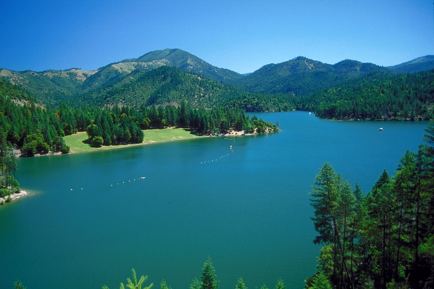 Applegate RiverCanoeingPhoto: Bill Johnson, U.S. Army Corps of Engineers, Public domain (via Wikimedia Commons)5 mi
- Watkins CampgroundCamping5.1 mi
- Tipsu Tyee CampgroundCamping6.8 mi
- Harr Point CampgroundCamping7.4 mi
Source: Roamze catalog (indexable pages within 10 miles, PostGIS distance)
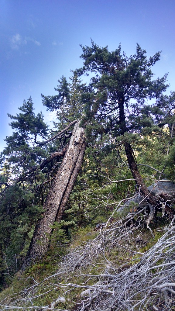 Miller LakeHiking · ~7 min drivePhoto: theforestprimeval, CC BY-SA 2.0 (via Flickr)
 Cut OffHiking · ~11 min drivePhoto: n.p.young, CC BY 3.0 (via Wikimedia Commons)
- Middle Fork TrailHiking · ~3 min drive
- Boundary TrailHiking · ~8 min drive
 Da-Ku-Be-Te-DeHiking · ~9 min drivePhoto: n.p.young, CC BY 3.0 (via Wikimedia Commons)
- Fir GladeHiking · ~4 min drive
- Frog Pond/cameron MeadowsHiking · ~3 min drive
- Horse Camp TrailHiking · ~13 min drive
- PayetteHiking · ~10 min drivePhoto: n.p.young, CC BY 3.0 (via Wikimedia Commons)
- Fort GoffHiking · ~7 min drive
Route details
- Distance
- 0.5 mi round trip
- Climbing
- About 782 ft
- Summit
- 6,488 ft
- Difficulty
- Easy
- Time
- About 0.5 hours
Questions about this route
How long is the Whisky Peak Trail on Whisky Peak?
About 0.5 mi round trip.
How much elevation gain is on the Whisky Peak Trail?
About 782 ft of climbing round trip.
How hard is the Whisky Peak Trail?
It is rated easy.
How long does the Whisky Peak Trail take?
About 0.5 hours round trip.
Map and trail data © OpenStreetMap contributors
