Walker Creek Trail #3330
- 6.6 mi
- round trip
- 6,255 ft
- climb
- 5,507 ft
- high point
- Out and back
- route
Is Walker Creek Trail #3330 open right now?
Closure in the area
There's a closure order in Willamette National Forest. It doesn't name Walker Creek Trail #3330, so check the source for the area it covers.
Cedar Creek Fire Closure
Agency closure covering Willamette National Forest · Order 06-18-10-26-04 · USFS · Willamette National Forest
FIRE CLOSURES: Current wildfire closures on the Willamette National Forest
Agency alert covering Willamette National Forest · USFS · Willamette National Forest
As of · Source: USFS · Willamette National Forest. Agencies don't list every closure — check before you go.
Walker Creek Trail #3330 is a 13.2-mile out-and-back hike in Oregon's Three Sisters Wilderness, within the McKenzie River Ranger District of the Willamette National Forest. The Forest Service manages the land, and the route is rated expert. The trail starts at about 5,023 feet and climbs to a high point of 5,507 feet, with a total elevation gain of 6,255 feet over the course of the round trip. The steepest stretch comes at about 2 miles in, where the grade reaches 55 percent. The hike is a steady climb, and the route is long and demanding. Plan on about 7.5 hours for the trip. The trail is in designated wilderness, so expect to stay on the mapped route and follow wilderness rules. Several other destinations sit within a few miles. Lowder Mountain and French Pete are both about 1.5 miles away, and Quaking Aspen is about 1.6 miles off. For an overnight base, Hard Rock Campground is about 4.2 miles away.
Local outfitters
- Horse Creek Lodge & Outfitters8 mi away
- Patio RV Park8 mi away
Not on Roamze yet. Their page has how to reach them.
- Lowder MountainHiking1.5 mi
- French PeteHiking1.5 mi
- Quaking AspenHiking1.6 mi
- East Fork South Fork McKenzie RiverCanoeing2.6 mi
 French Pete CreekCanoeingPhoto: JAR, CC BY 2.0 (via Wikimedia Commons)3.4 mi
- Hard Rock CampgroundCamping4.2 mi
 French Pete CampgroundCampingPhoto: Recreation.gov (RIDB) / public domain4.3 mi
 Sunnyside CampgroundCampingPhoto: Recreation.gov (RIDB) / public domain4.6 mi
Source: Roamze catalog (indexable pages within 10 miles, PostGIS distance)
 Walker CreekHiking · ~8 min drivePhoto: Kane5187, CC BY-SA 4.0 (via Wikimedia Commons)
- Terwilliger Hot Springs TrailHiking · ~9 min drivePhoto: Kane5187, CC BY-SA 4.0 (via Wikimedia Commons)
 O Leary MountainHiking · ~12 min drivePhoto: Robert Ashworth from Bellingham, WA., USA, CC BY 2.0 (via Wikimedia Commons)
- Lowder Mountain Trail #3329Hiking · ~9 min drivePhoto: Kane5187, CC BY-SA 4.0 (via Wikimedia Commons)
- EchoHiking · ~11 min drivePhoto: Robert Ashworth from Bellingham, WA., USA, CC BY 2.0 (via Wikimedia Commons)
- RAINBOW FALLSHiking · ~12 min drive
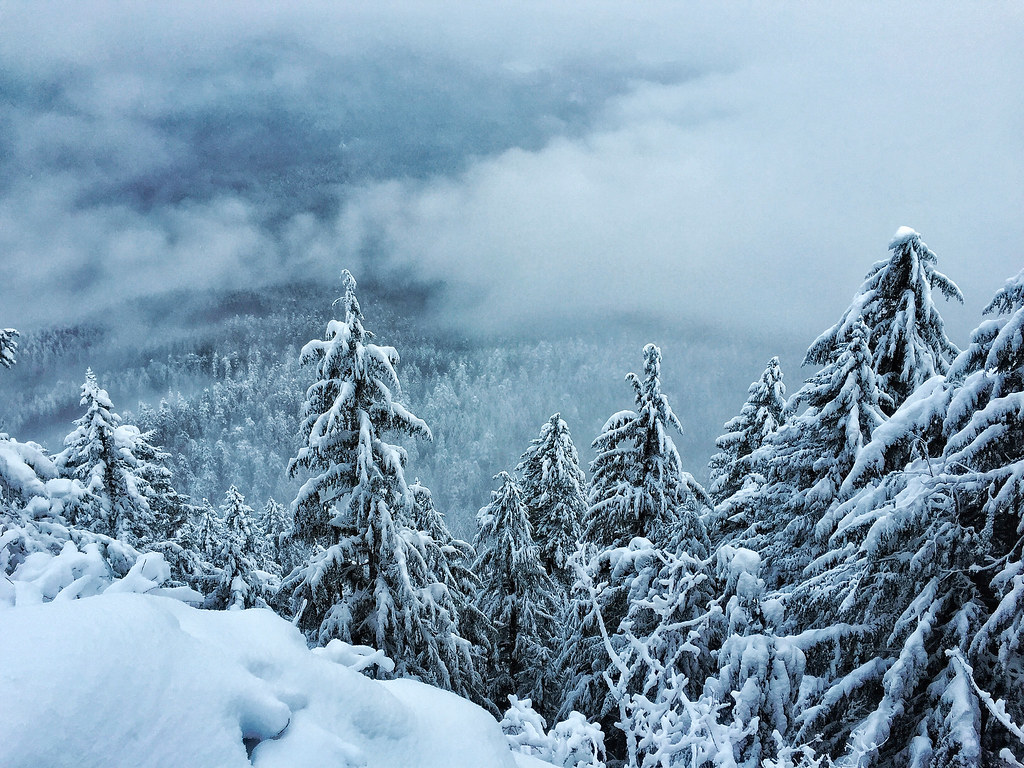 Castle RockHiking · ~13 min drivePhoto: Forest Service Pacific Northwest Region, Public Domain Mark (via Flickr)
- WALKER CREEKHiking · ~7 min drive
- Horsepasture MtnHiking · ~6 min drive
- South ForkHiking · ~13 min drive
Map and trail data © OpenStreetMap contributors
