Wildwood Recreation Site
Campground
Campground · 0.4 mi from the trail
 Photo: niiicedave, CC BY-SA 2.0 (via Flickr)
The Trail to Salmon River is an easy, 0.8-mile hike on Bureau of Land Management land in Oregon's Nw Oregon Cascades Field Office. The route is short and gentle, with a total climb of 192 feet over its 1.6-mile out-and-back length. The highest point is about 1,224 feet, and the steepest stretch is roughly half a mile in, where the grade reaches 8 percent. Summer is the most comfortable time to go. Typical averages from a nearby weather station show July and August highs in the upper 70s with only five or six wet days a month, while winter months bring highs in the low 40s and rain on most days. Old Mill Nature Trail and Wildwood Site Trail both sit about 0.2 miles away, and Wildwood Recreation Site is about 0.4 miles off. Climbers can head to Hunchback Wall, about 2.7 miles away.
Wildwood Recreation Site
Campground
 If it rainsIan Poellet, CC BY-SA 3.0 · Wikimedia Commons
Places © OpenStreetMap contributors, Places © Overture Maps Foundation · Photos: Ian Poellet, CC BY-SA 3.0 (commons)
More in Mount Hood VillagesNot on Roamze yet. Their page has how to reach them.
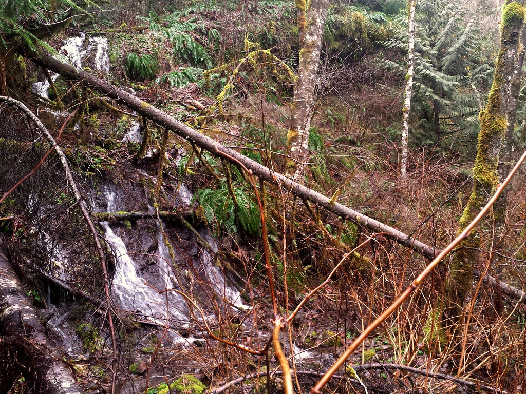 Old Mill Nature TrailHikingPhoto: niiicedave, CC BY-SA 2.0 (via Flickr)0.2 mi
 TollgateCampingPhoto: Recreation.gov (RIDB) / public domain4.8 mi
Source: Roamze catalog (indexable pages within 10 miles, PostGIS distance)
Old Mill Nature TrailHiking · Next doorPhoto: niiicedave, CC BY-SA 2.0 (via Flickr) Boulder Ridge TrailHiking · Next doorPhoto: Sheila Sund from Salem, United States, CC BY 2.0 (via Wikimedia Commons)
 Hunchback Trail #793Hiking · ~5 min drivePhoto: niiicedave, CC BY-SA 2.0 (via Flickr)
 Flag MountainHiking · ~8 min drivePhoto: U.S. Forest Service- Pacific Northwest Region, Public domain (via Wikimedia Commons)East Wemme TrailHiking · Next doorPhoto: Sheila Sund from Salem, United States, CC BY 2.0 (via Wikimedia Commons)
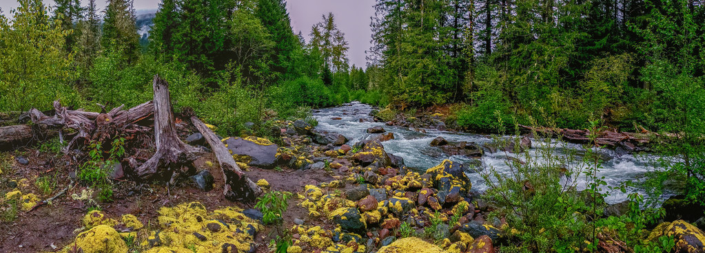 HorseshoeHiking · ~10 min drivePhoto: niiicedave, CC BY-SA 2.0 (via Flickr)
 Bonanza Trail #786Hiking · ~5 min drivePhoto: Sam Beebe/Ecotrust, CC BY-SA 3.0 (via Wikimedia Commons)
 Old Salmon RiverHiking · ~9 min drivePhoto: U.S. Forest Service- Pacific Northwest Region, Public domain (via Wikimedia Commons)Cascade Streamwatch TrailHiking · Next doorPhoto: niiicedave, CC BY-SA 2.0 (via Flickr)
 Green Canyon Way #793AHiking · ~11 min drivePhoto: U.S. Forest Service- Pacific Northwest Region, Public domain (via Wikimedia Commons)
Best months: June–September. Best months have typical highs of 55–85 °F, lows of 30 °F or warmer (32 °F where the station doesn't record snow), at most one snowy day and no more than 12 wet days.
Jan
44° / 35°
22 wet
Feb
47° / 36°
19 wet
Mar
52° / 37°
21 wet
Apr
57° / 40°
20 wet
May
64° / 46°
16 wet
Jun
69° / 50°
12 wet
Jul
77° / 54°
6 wet
Aug
78° / 54°
5 wet
Sep
72° / 51°
9 wet
Oct
60° / 45°
16 wet
Nov
49° / 40°
21 wet
Dec
43° / 35°
23 wet
Typical high / low (°F) and days with rain or snow, 1991–2020. Measured at Headworks Portland Wtr B, OR, 10.2 mi away at 748 ft. This station doesn't record snowfall. Source: NOAA NCEI U.S. Climate Normals 1991–2020.
