Cavitt Creek Falls Campground
Campground
Campground · 8.7 mi from the trail
South Fork Deer Creek is a paddling stretch of about 12 miles in southwest Oregon, near Roseburg and about 3 miles from the small community of Dixonville. The creek flows year-round, with a modeled average flow of about 44 cubic feet per second. The defining feature of this run is its gradient: the creek drops roughly 183 feet per mile, a steep descent for any stretch of moving water. Combined with that modest average flow, it makes for a narrow, fast-falling creek rather than a gentle float. Summer is the driest window. A nearby weather station typically averages highs around 84°F in July and August with only about three wet days a month, though that station sits well below the creek, so temperatures along the water run cooler. Winter months bring frequent rain and highs in the 40s. Nearby options include China Ditch Trail for a hike and two more paddling stretches, Deer Creek and North Myrtle Creek. Cavitt Creek Falls Recreation Site, about 9 miles away, offers camping.
Cavitt Creek Falls Campground
Campground
Sakura Sushi
Restaurant
Floed-Lane House Museum
Museum
Places © OpenStreetMap contributors
More in Myrtle CreekNot on Roamze yet. Their page has how to reach them.
Source: Roamze catalog (indexable pages within 10 miles, PostGIS distance)
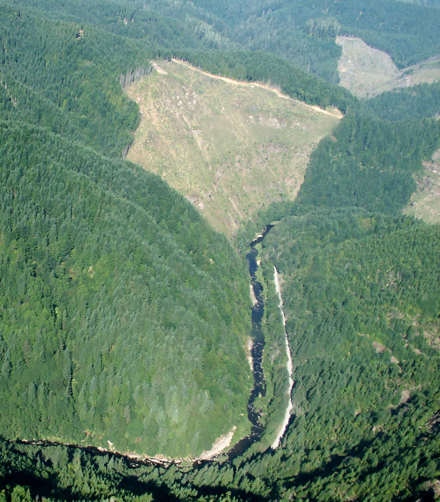
 Cavitt CreekCanoeing · ~22 min drivePhoto: Bureau of Land Management Oregon and Washington, Public domain (via Wikimedia Commons)
 Williams RiverCanoeing · ~42 min drivePhoto: Francis Eatherington, CC BY-SA 2.0 (via Wikimedia Commons)
Best months: May–October. Best months have typical highs of 55–85 °F, lows of 30 °F or warmer (32 °F where the station doesn't record snow), at most one snowy day and no more than 12 wet days.
Jan
46° / 34°
17 wet
Feb
50° / 34°
15 wet
Mar
56° / 36°
17 wet
Apr
62° / 39°
16 wet
May
70° / 43°
12 wet
Jun
75° / 47°
7 wet
Jul
84° / 50°
3 wet
Aug
84° / 50°
3 wet
Sep
78° / 46°
5 wet
Oct
64° / 41°
11 wet
Nov
51° / 38°
17 wet
Dec
44° / 33°
18 wet
Typical high / low (°F) and days with rain or snow, 1991–2020. Measured at Idleyld Park 4 Ne, OR, 17.4 mi away at 1,080 ft. The station sits about 1,600 ft lower than this place, so expect it a little cooler here. This station doesn't record snowfall. Source: NOAA NCEI U.S. Climate Normals 1991–2020.

