North Umpqua Trail: Panther
- 4.6 mi
- round trip
- 6,165 ft
- climb
- 1,723 ft
- high point
- Out and back
- route
- May–Oct
- best months
Is North Umpqua Trail: Panther open right now?
Alert in the area
The Forest Service lists 5 alerts for Umpqua National Forest.
Tuttle Creek Road Closure
Agency alert covering Umpqua National Forest · USFS · Umpqua National Forest
Fall Prescribed Burning
Agency alert covering Umpqua National Forest · USFS · Umpqua National Forest
Poole Creek Campground Closed for the 2026 Season
Agency alert covering Umpqua National Forest · USFS · Umpqua National Forest
National Forest Service Road 28 Roadwork
Agency alert covering Umpqua National Forest · USFS · Umpqua National Forest
Blue-Green Algae Precaution for Diamond and Lemolo Lakes
Agency alert covering Umpqua National Forest · USFS · Umpqua National Forest
As of · Source: USFS · Umpqua National Forest. Agencies don't list every closure — check before you go.
North Umpqua Trail: Panther is an out-and-back hike in the North Umpqua Ranger District of Oregon's Umpqua National Forest, managed by the Forest Service. The route is 9.2 miles long, with a total elevation gain of 6,165 feet, and it is rated expert. The trail starts at Mott Trailhead, and the trip is estimated to take about six hours. The climb is steady, with the high point at 1,723 feet. The steepest stretch comes at about 4.2 miles, where the grade reaches 24 percent. The route is long and steep, and the round trip doubles the one-way figures. Summer is the most comfortable time to go. Typical averages from a nearby weather station show July and August highs around 84°F with only about three wet days a month, while winter months bring highs in the mid-40s and rain on 17 or more days. The trailhead sits close to two group campgrounds, Steamboat Ball Field Group Site and Steamboat Group Site, both about 0.4 miles away. The North Umpqua River, about 1.3 miles off, offers river fishing, and Williams Creek, about 1.6 miles away, is another hike.
Local outfitters
- Casey's Riverside RV Resort31 mi away
- Diamond Lake Resort33 mi away
Not on Roamze yet. Their page has how to reach them.
- Steamboat Ball Field Group SiteCamping0.4 mi
- Steamboat Group SiteCamping0.4 mi
- North Umpqua RiverRiver fishing1.3 mi
- Williams CreekHiking1.6 mi
- McdonaldHiking1.9 mi
- Redmans ToothRock climbing2.8 mi
- Panther CreekCanoeing3.8 mi
- Youtlkut PillarsRock climbing8.8 mi
Source: Roamze catalog (indexable pages within 10 miles, PostGIS distance)
 North Umpqua Trail: CalfHiking · ~7 min drivePhoto: Forest Service Pacific Northwest Region, Public Domain Mark (via Flickr)
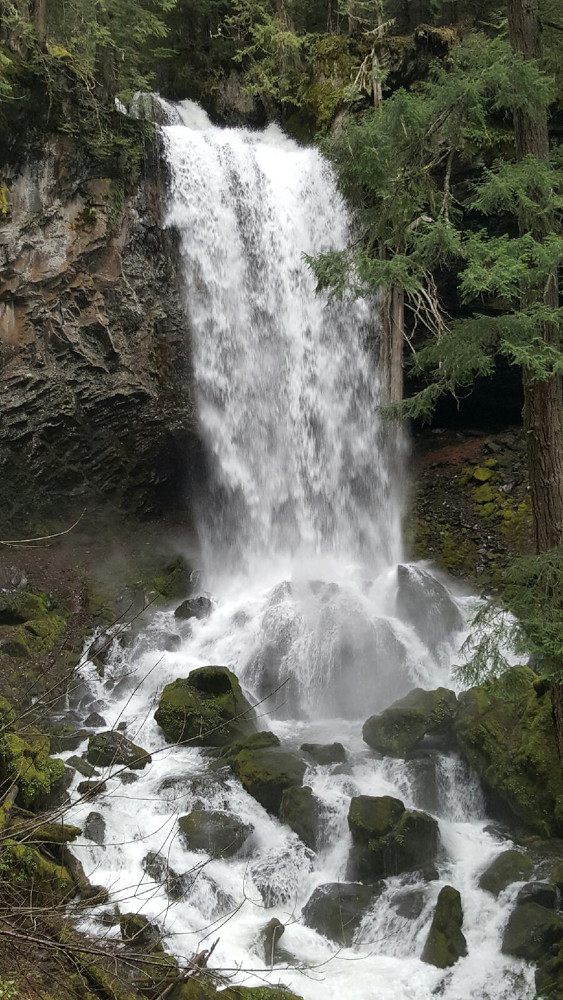 Grotto FallsHiking · ~14 min drivePhoto: Forest Service Pacific Northwest Region, Public Domain Mark (via Flickr)
- Williams CreekHiking · ~3 min drive
- Cougar Creek TrailHiking · ~7 min drive
 North Umpqua Trail: MottHiking · ~7 min drivePhoto: U.S. Forest Service- Pacific Northwest Region, Public domain (via Wikimedia Commons)
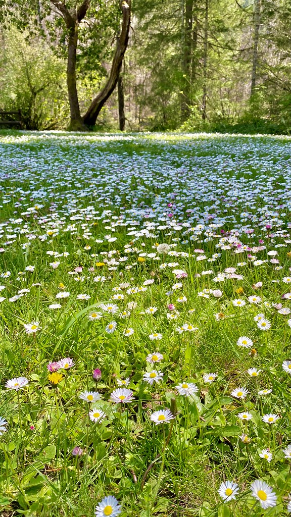 Emerald TrailHiking · ~16 min drivePhoto: lamblukas, CC BY 2.0 (via Flickr)
- McdonaldHiking · ~3 min drive
- Bradley RidgeHiking · ~11 min drive
 North Umpqua Trail: CalfHiking · ~12 min drivePhoto: Forest Service Pacific Northwest Region, Public Domain Mark (via Flickr)
- Susan Creek Falls TrailHiking · ~16 min drivePhoto: lamblukas, CC BY 2.0 (via Flickr)
Best time to visit North Umpqua Trail: Panther
Best months: May–October. Best months have typical highs of 55–85 °F, lows of 30 °F or warmer (32 °F where the station doesn't record snow), at most one snowy day and no more than 12 wet days.
Jan
46° / 34°
17 wet
Feb
50° / 34°
15 wet
Mar
56° / 36°
17 wet
Apr
62° / 39°
16 wet
May
70° / 43°
12 wet
Jun
75° / 47°
7 wet
Jul
84° / 50°
3 wet
Aug
84° / 50°
3 wet
Sep
78° / 46°
5 wet
Oct
64° / 41°
11 wet
Nov
51° / 38°
17 wet
Dec
44° / 33°
18 wet
Typical high / low (°F) and days with rain or snow, 1991–2020. Measured at Idleyld Park 4 Ne, OR, 11.7 mi away at 1,080 ft. The station sits about 600 ft lower than this place, so expect it a little cooler here. This station doesn't record snowfall. Source: NOAA NCEI U.S. Climate Normals 1991–2020.
Map and trail data © OpenStreetMap contributors
