Scandia RV Park
Campground
Campground · 7.3 mi from the trail
 Photo: Bonnie Moreland (free images), Public Domain Mark (via Flickr)
Closure in the area
There's a closure order in Deschutes National Forest. It doesn't name Deschutes River Mtn. Bike, so check the source for the area it covers (3 listed).
West Bend Area Trail Closures
Agency closure covering Deschutes National Forest · USFS · Deschutes National Forest
West Bend IRSC- Area, Road and Trail Closure
Agency closure covering Bend/Fort Rock Ranger District · Order 06-01-01-26-03 · USFS · Bend/Fort Rock Ranger District
Cabin Butte Area Closure
Agency closure covering Bend/Fort Rock Ranger District · Order 06-01-01-26-01 · USFS · Bend/Fort Rock Ranger District
Camping & Campfire Restrictions Forest Order
Agency alert covering Deschutes National Forest · Order 06-01-26-01 · USFS · Deschutes National Forest
Cave Resource Protection Forest Order
Agency alert covering Deschutes National Forest · Order 06-01-26-02 · USFS · Deschutes National Forest
As of · Source: USFS · Deschutes National Forest. Agencies don't list every closure — check before you go.
Deschutes River Mtn. Bike is a 6-mile out-and-back hike in the Bend/Fort Rock Ranger District of Deschutes National Forest in Oregon, managed by the Forest Service. The trail is rated hard, with a one-way climb of about 177 feet from a starting elevation of roughly 4,050 feet to a high point near 4,100 feet. The steepest stretch comes around mile 2.4, where the grade reaches about 5%. The trail is a natural-surface route, and both bikes and horses are allowed. It sits right beside the Deschutes River Trail, about 0.1 mile away, and the Benham Falls Overlook and Tylers's are each about 1.3 miles off. For a longer outing, the Deschutes River paddling route lies about 9 miles away.
Scandia RV Park
Campground
Places © OpenStreetMap contributors
More in SistersNot on Roamze yet. Their page has how to reach them.
Best months: May–September. Best months have typical highs of 55–85 °F, lows of 30 °F or warmer (32 °F where the station doesn't record snow), at most one snowy day and no more than 12 wet days.
Jan
40° / 20°
Feb
43° / 21°
Mar
50° / 24°
Apr
57° / 25°
May
65° / 33°
Jun
72° / 37°
Jul
84° / 41°
Aug
83° / 40°
Sep
76° / 34°
Oct
62° / 28°
Nov
46° / 24°
Dec
37° / 19°
Typical high / low (°F) and days with rain or snow, 1991–2020. Measured at Sunriver, OR, 4.4 mi away at 4,180 ft. This station doesn't record snowfall. Source: NOAA NCEI U.S. Climate Normals 1991–2020.
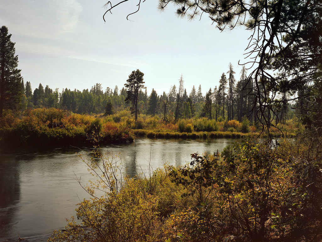 Photo: Kayaker Bill, CC BY 2.0 (via Flickr)
Deschutes River Trail
~1 min drive
2.64-mile out-and-back trail on the Deschutes River in Oregon with 1,165 ft of elevation gain.
 Photo: Forest Service Pacific Northwest Region, Public Domain Mark (via Flickr)
Deschutes River Trail
~2 min drive
2.12-mile lollipop trail along the Deschutes River in Oregon
 Photo: U.S. Forest Service- Pacific Northwest Region, Public domain (via Wikimedia Commons)
Tylers's
~2 min drive
13.20-mile out-and-back trail in Oregon with 1,582 ft gain
 Photo: daveynin, CC BY 2.0 (via Flickr)
Lava Butte Rim
~7 min drive
0.34-mile loop trail at Lava Butte Rim in Oregon with 80 ft of elevation gain.
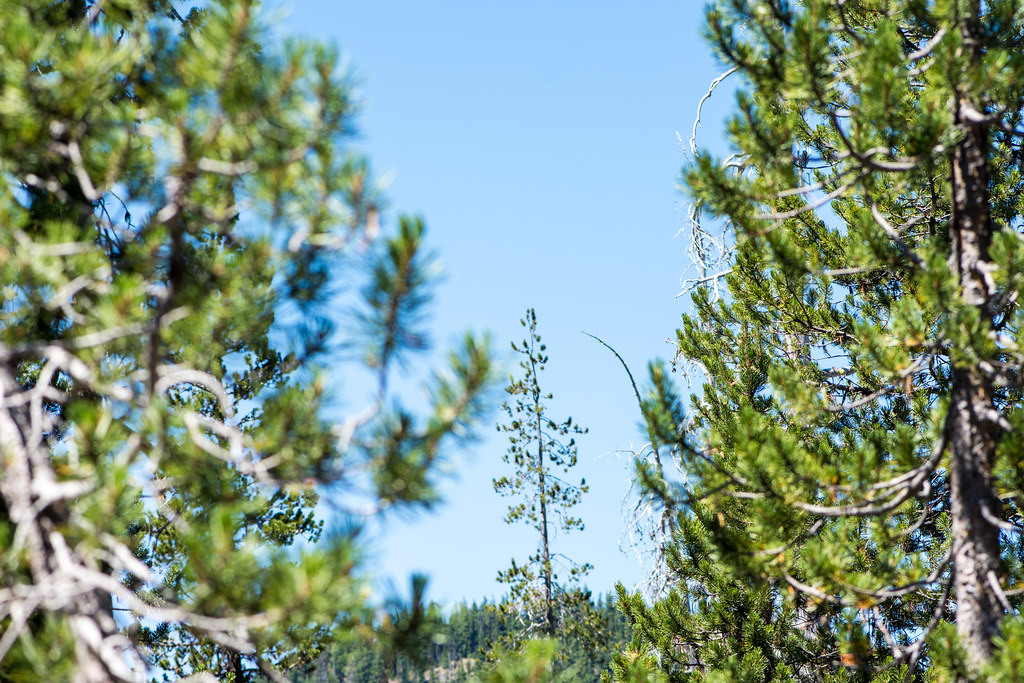 Photo: m01229, CC BY-SA 2.0 (via Flickr)
Larsen
~6 min drive
5.50-mile out-and-back trail in Oregon with 390 ft elevation gain.
 Photo: Kayaker Bill, CC BY 2.0 (via Flickr)
TWO HOUR HORSE LOOP
~3 min drive
2.01-mile loop trail in Oregon with 333 ft gain and 278 ft loss.
 Photo: Nicolás Boullosa from Fontainebleau, France, CC BY 2.0 (via Wikimedia Commons)
Roundabout
~7 min drive
6.70-mile out-and-back trail in Oregon with 377 ft elevation gain.
 Photo: Forest Service Pacific Northwest Region, Public Domain Mark (via Flickr)
Black Rock #3935
~7 min drive
4.12-mile out-and-back trail in Oregon with 166 ft elevation gain.
Photo: Kayaker Bill, CC BY 2.0 (via Flickr)ONE HOUR HORSE LOOP
~3 min drive
3.78-mile out-and-back trail in Oregon with 385 ft elevation gain.
Photo: Forest Service Pacific Northwest Region, Public Domain Mark (via Flickr)Blackrock
~8 min drive
9.90-mile out-and-back trail in Oregon with 172 ft gain
Also worth it near here


