Tank
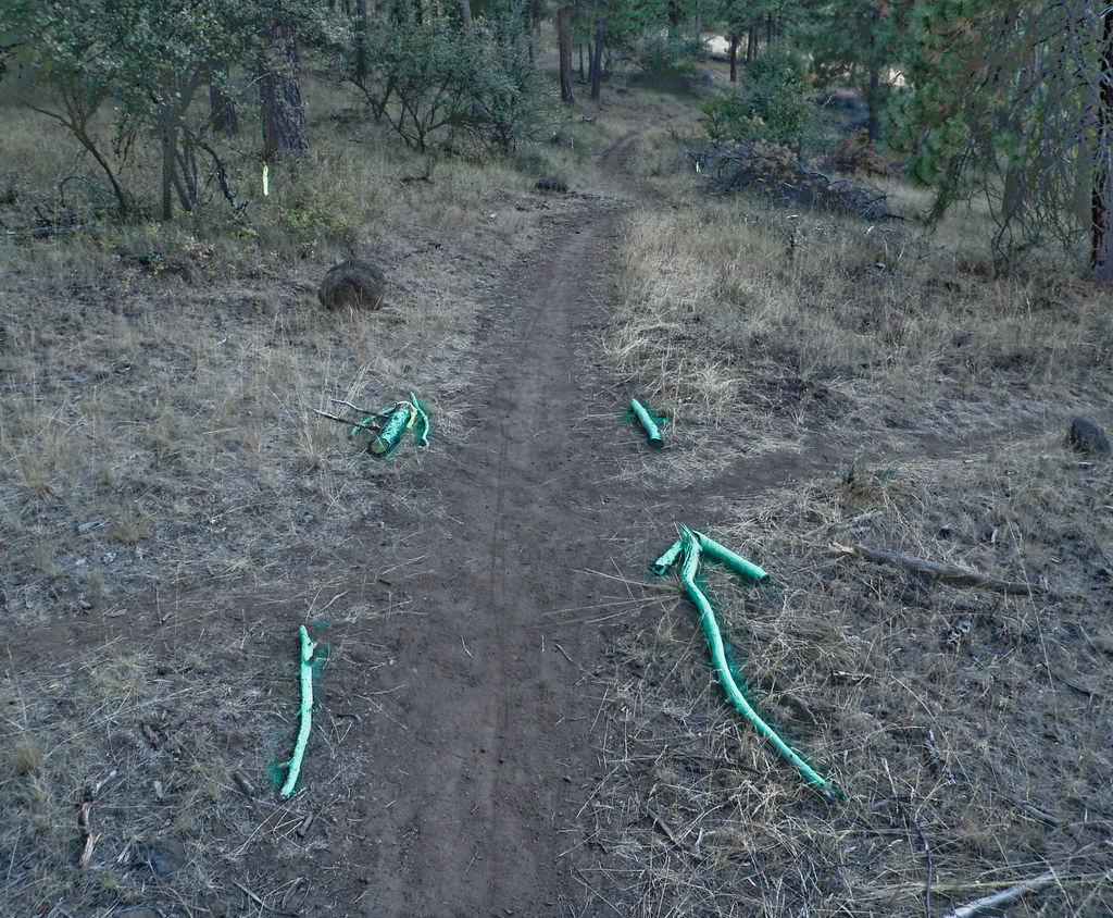 Photo: ex_magician, CC BY 2.0 (via Flickr)
- 0.9 mi
- round trip
- 945 ft
- climb
- 4,971 ft
- high point
- Out and back
- route
Tank is an easy out-and-back hike in southern Oregon, about 2 miles from Klamath Falls. The route is roughly 1.8 miles long, with a total climb of 945 feet and a high point of about 4,970 feet. The steepest stretch comes at about 0.67 miles in, where the grade reaches 35 percent. Summer is the most comfortable time to go. Typical averages from a nearby weather station show July highs around 86°F with only about two wet days, while winter highs sit in the low 40s. That station sits roughly 900 feet lower than the trail's high point, so temperatures on the summit run cooler. Several other short hikes start within a third of a mile, including Use the Force, Junker and Klamath Ridgeview. For climbing, Cougar Rock Boulders is about 6 miles away.
Map and trail data © OpenStreetMap contributors
