Sofie's Trail
- 1.3 mi
- one way
- 437 ft
- climb
- 3,371 ft
- high point
- Point to point
- route
- May–Oct
- best months
Sofie's Trail is a short, easy hike in Oregon, about 3.6 miles from the town of Jacksonville. The route is 1.3 miles long, with a one-way climb of 437 feet from a starting elevation of about 2,915 feet to a high point of about 3,371 feet. The trail is a point-to-point route rather than a loop, and the steepest stretch comes early on, with a grade of about 26% at the start. Summer is the most comfortable time to go. Typical averages from a nearby weather station at Sexton Summit show July and August highs around 77°F with only about two wet days a month, while winter months bring highs in the low 40s and rain on roughly half the days. Bikes are not allowed on this trail. Several other trails sit within a mile, including the Grotto Trail, Arrowhead Pass Trail and Jackson Creek Nature Trail.
Local outfitters
- Applegate Trail Rides15 mi away
- Huntfluent Guide Service17 mi away
Not on Roamze yet. Their page has how to reach them.
- Grotto TrailHiking0.6 mi
- Arrowhead Pass TrailHiking0.6 mi
- Claimjumper TrailHiking0.6 mi
- Jackson Creek Nature TrailHiking0.6 mi
- Jackson Ridge Hiking TrailHiking0.7 mi
- Naversen Family TrailHiking0.9 mi
- Jackson Ridge Bike TrailHiking0.9 mi
- Steep Canyon Rangers TrailHiking0.9 mi
Source: Roamze catalog (indexable pages within 10 miles, PostGIS distance)
 South Fork View TrailHiking · ~5 min drivePhoto: ChrisYunker, CC BY 2.0 (via Flickr)
- Arrowhead Pass TrailHiking · Next door
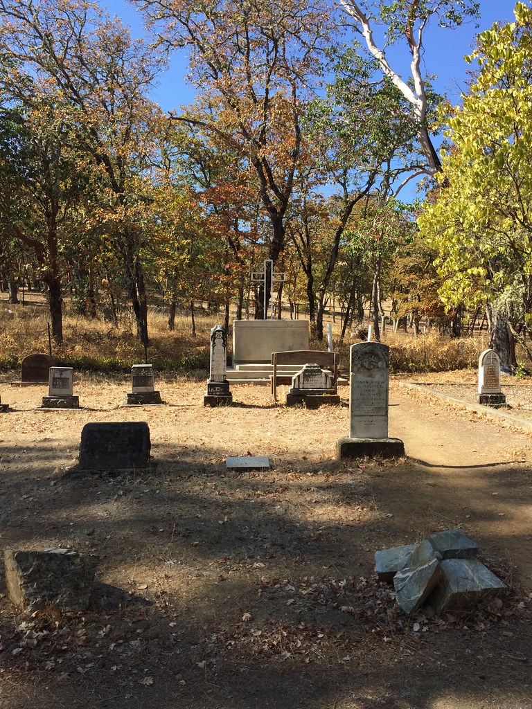 Jackson Forks TrailHiking · ~5 min drivePhoto: ChrisYunker, CC BY 2.0 (via Flickr)
- Sofie's TrailHiking · ~1 min drive
- Britt Ridge TrailHiking · ~5 min drivePhoto: ChrisYunker, CC BY 2.0 (via Flickr)
- Canyon Vista TrailHiking · ~2 min drive
- Panorama Point TrailHiking · ~5 min drivePhoto: ChrisYunker, CC BY 2.0 (via Flickr)
- Diabolical TrailHiking · ~2 min drive
- Quarry TrailHiking · ~6 min drivePhoto: ChrisYunker, CC BY 2.0 (via Flickr)
- Pipsissewa TrailHiking · ~2 min drive
Best time to visit Sofie's Trail
Best months: May–October. Best months have typical highs of 55–85 °F, lows of 30 °F or warmer (32 °F where the station doesn't record snow), at most one snowy day and no more than 12 wet days.
Jan
43° / 33°
16 wet
Feb
44° / 33°
15 wet
Mar
46° / 33°
16 wet
Apr
52° / 35°
14 wet
May
61° / 41°
10 wet
Jun
68° / 46°
6 wet
Jul
77° / 53°
2 wet
Aug
77° / 54°
2 wet
Sep
70° / 51°
4 wet
Oct
58° / 43°
9 wet
Nov
47° / 36°
15 wet
Dec
41° / 32°
16 wet
Typical high / low (°F) and days with rain or snow, 1991–2020. Measured at Sexton Summit, OR, 25.2 mi away at 3,832 ft. This station doesn't record snowfall. Source: NOAA NCEI U.S. Climate Normals 1991–2020.
Map and trail data © OpenStreetMap contributors
