Steep Canyon Rangers Trail
- 0.4 mi
- round trip
- 295 ft
- climb
- 2,672 ft
- high point
- Out and back
- route
- Mar–Jun, Sep–Nov
- best months
The Steep Canyon Rangers Trail is an easy, short hike in southwest Oregon, about 2.8 miles from the town of Jacksonville. The route is an out-and-back of about 0.8 miles, with a total elevation gain of about 55 feet. It starts at roughly 2,664 feet and reaches a high point of about 2,672 feet, making it a gentle walk that is easy to fit into a longer day of hiking in the area. The most comfortable months for a visit are typically May and September. Typical averages from a nearby weather station at Ruch, which sits about 1,100 feet lower, run to highs near 75°F in May and 85°F in September. July and August are the hottest, with typical highs in the low 90s, while winter brings highs around 50°F and lows near 30°F. Several other trails lie within half a mile. The Naversen Family Trail is about 0.1 mile away, the Pipsissewa Trail is about 0.3 mile away, and the Jackson Creek Nature Trail and the Grotto Trail are both about 0.4 mile away.
Local outfitters
- Applegate Trail Rides15 mi away
- Huntfluent Guide Service18 mi away
Not on Roamze yet. Their page has how to reach them.
Best time to go · Mar–Jun, Sep–Nov
Best time to visit Steep Canyon Rangers Trail
Best months: March–June and September–November. Best months have typical highs of 55–85 °F, lows of 30 °F or warmer (32 °F where the station doesn't record snow), at most one snowy day and no more than 12 wet days.
Jan
50° / 30°
Feb
55° / 31°
Mar
60° / 33°
Apr
65° / 36°
May
75° / 42°
Jun
82° / 47°
Jul
92° / 52°
Aug
91° / 51°
Sep
85° / 45°
Oct
72° / 38°
Nov
56° / 33°
Dec
49° / 30°
Typical high / low (°F) and days with rain or snow, 1991–2020. Measured at Ruch, OR, 7.7 mi away at 1,550 ft. The station sits about 1,100 ft lower than this place, so expect it a little cooler here. This station doesn't record snowfall. Source: NOAA NCEI U.S. Climate Normals 1991–2020.
Keep exploring — more trails worth the drive
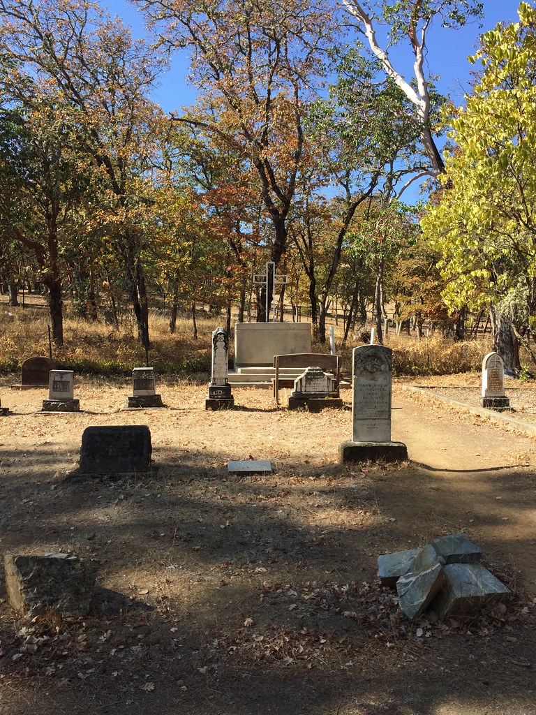 Photo: ChrisYunker, CC BY 2.0 (via Flickr)
Jackson Forks Trail
~4 min drive
0.6-mile out-and-back trail in Oregon with 614 ft elevation gain.
HIKE
Pipsissewa Trail
Next door
2.58-mile out-and-back trail in Oregon with 1,421 ft gain and 3,063 ft max elevation.
 Photo: ChrisYunker, CC BY 2.0 (via Flickr)
South Fork View Trail
~4 min drive
0.48-mile out-and-back hike in Oregon with 264 ft elevation gain.
HIKE
Diabolical Trail
Next door
1.92-mile out-and-back trail in Oregon with 788 ft elevation gain.
Photo: ChrisYunker, CC BY 2.0 (via Flickr)Britt Ridge Trail
~4 min drive
1.26-mile out-and-back trail in Oregon with 206 ft elevation gain/loss
HIKE
Halls of Manzanita Trail
Next door
2.00-mile out-and-back trail in Oregon with 1,212 ft elevation gain
Photo: ChrisYunker, CC BY 2.0 (via Flickr)Panorama Point Trail
~4 min drive
0.66-mile out-and-back hike to Panorama Point in Oregon with 168 ft of elevation gain.
HIKE
Sofie's Trail
Next door
1.66-mile out-and-back trail in Oregon with 1,446 ft gain and 3,094 ft max elevation.
Photo: ChrisYunker, CC BY 2.0 (via Flickr)Quarry Trail
~4 min drive
0.68-mile out-and-back quarry trail in Oregon with 157 ft gain.
HIKE
Knobcone Pine Trail
Next door
1.94-mile out-and-back trail in Oregon with 763 ft gain and 3,067 ft max elevation.
Map and trail data © OpenStreetMap contributors
