South Fork View Trail
 Photo: ChrisYunker, CC BY 2.0 (via Flickr)
- 0.5 mi
- round trip
- 389 ft
- climb
- 1,847 ft
- high point
- Out and back
- route
- Mar–Jun, Sep–Nov
- best months
South Fork View Trail is a short, easy hike in southern Oregon, about a mile from the town of Jacksonville. The trail is an out-and-back, roughly a mile long, with a low point of about 1,750 feet and a high of about 1,847 feet. The climb is gentle, with an elevation gain of about 82 feet one way, and the steepest stretch comes early, around 9% grade at about 0.14 miles. Late spring and early fall are the most comfortable times to go. Typical averages from a nearby weather station in Ruch show May highs around 75°F and September highs around 85°F, while July and August average in the low 90s. Several other trails start close by. White Oak Trail and Jackson Forks Trail are each about 0.1 mile away, Panorama Point Trail is about 0.2 mile away, and Britt Canyon Trail is about 0.3 mile away.
Local outfitters
- Ashland Family YMCA16 mi away
- Momentum River Expeditions16 mi away
Not on Roamze yet. Their page has how to reach them.
Best time to go · Mar–Jun, Sep–Nov
Best time to visit South Fork View Trail
Best months: March–June and September–November. Best months have typical highs of 55–85 °F, lows of 30 °F or warmer (32 °F where the station doesn't record snow), at most one snowy day and no more than 12 wet days.
Jan
50° / 30°
Feb
55° / 31°
Mar
60° / 33°
Apr
65° / 36°
May
75° / 42°
Jun
82° / 47°
Jul
92° / 52°
Aug
91° / 51°
Sep
85° / 45°
Oct
72° / 38°
Nov
56° / 33°
Dec
49° / 30°
Typical high / low (°F) and days with rain or snow, 1991–2020. Measured at Ruch, OR, 6.9 mi away at 1,550 ft. This station doesn't record snowfall. Source: NOAA NCEI U.S. Climate Normals 1991–2020.
Keep exploring — more trails worth the drive
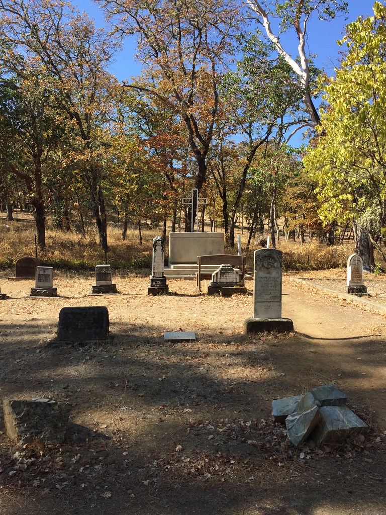 Photo: ChrisYunker, CC BY 2.0 (via Flickr)
Jackson Forks Trail
Next door
0.6-mile out-and-back trail in Oregon with 614 ft elevation gain.
HIKE
Owl Hoot Trail
~2 min drive
1.05-mile out-and-back trail in Oregon with 731 ft gain
Photo: ChrisYunker, CC BY 2.0 (via Flickr)Panorama Point Trail
Next door
0.66-mile out-and-back hike to Panorama Point in Oregon with 168 ft of elevation gain.
HIKE
Atsahu Trail
~3 min drive
2.00-mile out-and-back trail in Oregon with 942 ft gain.
Photo: ChrisYunker, CC BY 2.0 (via Flickr)Britt Ridge Trail
Next door
1.26-mile out-and-back trail in Oregon with 206 ft elevation gain/loss
HIKE
Halls of Manzanita Trail
~3 min drive
2.00-mile out-and-back trail in Oregon with 1,212 ft elevation gain
Photo: ChrisYunker, CC BY 2.0 (via Flickr)Quarry Trail
~1 min drive
0.68-mile out-and-back quarry trail in Oregon with 157 ft gain.
HIKE
Canyon Vista Trail
~3 min drive
1.33-mile out-and-back hike in Oregon with 1,007 ft elevation gain.
 Photo: ChrisYunker, CC BY 2.0 (via Flickr)
Sarah Zigler Trail
~1 min drive
1.2-mile out-and-back trail in Oregon with 466 ft gain/loss
HIKE
Knobcone Pine Trail
~4 min drive
1.94-mile out-and-back trail in Oregon with 763 ft gain and 3,067 ft max elevation.

