Plateau Cutoff Trail #412
- 0.5 mi
- round trip
- 130 ft
- climb
- 4,434 ft
- high point
- Out and back
- route
Is Plateau Cutoff Trail #412 open right now?
Alert in the area
The Forest Service lists 5 alerts for Mt. Hood National Forest.
Tamanawas Falls Trail closed due to instability hazards
Agency alert covering Mt. Hood National Forest · USFS · Mt. Hood National Forest
Current fire closures on Mt. Hood National Forest
Agency alert covering Hood River Ranger District · USFS · Hood River Ranger District
Eagle Creek Fire Area Closures
Agency alert covering Mt. Hood National Forest · Order 06-22-01-26-04 · USFS · Mt. Hood National Forest
FR 4613 road damage- use caution
Agency alert covering Mt. Hood National Forest · USFS · Mt. Hood National Forest
Crane Creek bridge closed on the Barlow Road
Agency alert covering Mt. Hood National Forest · USFS · Mt. Hood National Forest
As of · Source: USFS · Mt. Hood National Forest. Agencies don't list every closure — check before you go.
Plateau Cutoff Trail #412 is a short, easy out-and-back hike in Oregon's Mark O. Hatfield Wilderness, within the Hood River Ranger District of Mt. Hood National Forest. The trail is managed by the Forest Service and sits entirely inside designated wilderness, which makes it a compact way to step into the backcountry without a long commitment. The route is about a mile long, with a total elevation gain of 130 feet. It starts at 4,434 feet and reaches a high point of 4,434 feet, so the climb is back-loaded, with the steepest stretch at about 0.43 miles. The trail is rated easy, and the whole trip takes about half an hour. North Lake is about 0.6 miles away, and Green Point Ridge is about a mile off. For an overnight stay, Black Lake campground is about 2.3 miles away and Wyeth Campground about 3 miles.
Local outfitters
- Bike the Gorge6 mi away
- Horseback Riding Adventures Oregon37 mi away
Not on Roamze yet. Their page has how to reach them.
- North LakeHiking0.6 mi
- Green Point RidgeHiking1 mi
- Black LakeCamping2.3 mi
- Wyeth CampgroundCamping3 mi
- Herman CreekCanoeing3.1 mi
- Windy SlabRock climbing3.8 mi
- Viento WallRock climbing5.1 mi
 Eagle CreekCanoeingPhoto: Werewombat, CC BY-SA 3.0 (via Wikimedia Commons)7.1 mi
Source: Roamze catalog (indexable pages within 10 miles, PostGIS distance)
 Mt. DefianceHiking · ~3 min drivePhoto: Forest Service Pacific Northwest Region, Public Domain Mark (via Flickr)
 Mt. Defiance TieHiking · ~4 min drivePhoto: Joe Omundson, CC BY-SA 1.0 (via Wikimedia Commons)
 WyethHiking · ~5 min drivePhoto: Robert Ashworth from Bellingham, WA., USA, CC BY 2.0 (via Wikimedia Commons)
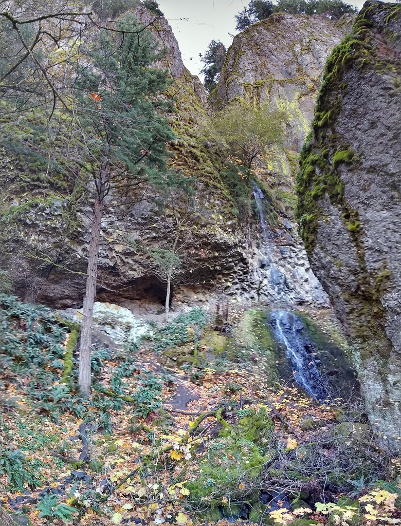 Starvation Ridge Trail #414Hiking · ~7 min drivePhoto: mjfmjfmjf, CC BY 2.0 (via Flickr)
- Mitchell PointHiking · ~4 min drivePhoto: Joe Omundson, CC BY-SA 1.0 (via Wikimedia Commons)
- Warren Lake Trail #417AHiking · ~6 min drivePhoto: Joe Omundson, CC BY-SA 1.0 (via Wikimedia Commons)
 Nick EatonHiking · ~5 min drivePhoto: U.S. Forest Service- Pacific Northwest Region, Public domain (via Wikimedia Commons)
 Mt DefianceHiking · ~6 min drivePhoto: mjfmjfmjf, CC BY 2.0 (via Flickr)
 Buteo DropHiking · ~7 min drivePhoto: Forest Service Pacific Northwest Region, Public Domain Mark (via Flickr)
- Herman CreekHiking · ~5 min drivePhoto: U.S. Forest Service- Pacific Northwest Region, Public domain (via Wikimedia Commons)

Map and trail data © OpenStreetMap contributors
