Green Point Ridge
- 5.0 mi
- round trip
- 925 ft
- climb
- 4,623 ft
- high point
- Out and back
- route
Is Green Point Ridge open right now?
Alert in the area
The Forest Service lists 4 alerts for Hood River Ranger District.
Current fire closures on Mt. Hood National Forest
Agency alert covering Hood River Ranger District · USFS · Hood River Ranger District
Eagle Creek Fire Area Closures
Agency alert covering Mt. Hood National Forest · Order 06-22-01-26-04 · USFS · Mt. Hood National Forest
FR 4613 road damage- use caution
Agency alert covering Mt. Hood National Forest · USFS · Mt. Hood National Forest
Crane Creek bridge closed on the Barlow Road
Agency alert covering Mt. Hood National Forest · USFS · Mt. Hood National Forest
As of · Source: USFS · Hood River Ranger District. Agencies don't list every closure — check before you go.
Green Point Ridge is a 5-mile out-and-back hike in Oregon's Mark O. Hatfield Wilderness, within the Hood River Ranger District of Mt. Hood National Forest. The trail is managed by the Forest Service and runs on natural surface. The route starts at about 3,960 feet and climbs to a high point of 4,623 feet, with a total gain of 925 feet over the course of the trip. The climb is front-loaded, with the steepest stretch at about 0.11 miles in, where the grade reaches 27%. The trail is rated moderate. The hike takes about 2 hours to complete. The nearest town is Hood River, and Wyeth Campground sits about 2.3 miles away. For more time on foot, the Plateau Cutoff Trail #412 is about a mile off and North Lake is about 1.3 miles away. Climbers can head to Windy Slab, roughly 3 miles from the trail.
Local outfitters
- Bike the Gorge7 mi away
- Horseback Riding Adventures Oregon38 mi away
Not on Roamze yet. Their page has how to reach them.
Keep exploring — more trails worth the drive
 Photo: Joe Omundson, CC BY-SA 1.0 (via Wikimedia Commons)
Mt. Defiance Tie
~3 min drive
1.26-mile out-and-back trail with 539 ft gain in Oregon.
Photo: Joe Omundson, CC BY-SA 1.0 (via Wikimedia Commons)Mitchell Point
~3 min drive
Mitchell Point is a 1.32-mile out-and-back trail in Oregon with 71 feet of elevation gain.
 Photo: Robert Ashworth from Bellingham, WA., USA, CC BY 2.0 (via Wikimedia Commons)
Wyeth
~3 min drive
12.20-mile out-and-back trail in Oregon with 4,272 ft elevation gain
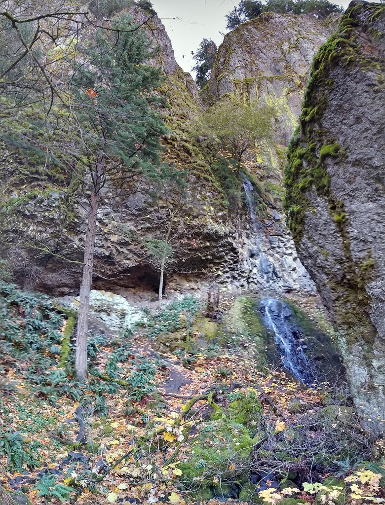 Photo: mjfmjfmjf, CC BY 2.0 (via Flickr)
Starvation Ridge Trail #414
~6 min drive
6.28-mile out-and-back hike in Oregon with 5,004 ft elevation gain
Photo: Joe Omundson, CC BY-SA 1.0 (via Wikimedia Commons)Warren Lake Trail #417A
~5 min drive
0.78-mile out-and-back trail in Oregon with 90 ft of elevation gain.
 Photo: mjfmjfmjf, CC BY 2.0 (via Flickr)
Mt Defiance
~4 min drive
4.40-mile out-and-back trail to Mt Defiance in Oregon with 2,985 ft gain.
Photo: Robert Ashworth from Bellingham, WA., USA, CC BY 2.0 (via Wikimedia Commons)Gorge Trail #400
~4 min drive
6.88-mile out-and-back trail in Oregon with 3,956 ft elevation gain/loss.
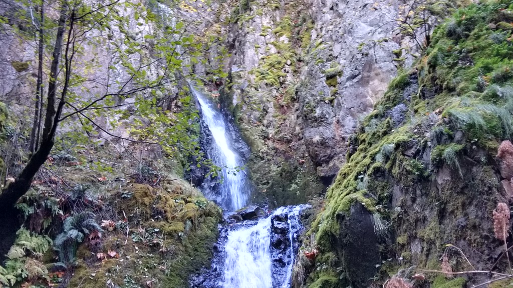 Photo: mjfmjfmjf, CC BY 2.0 (via Flickr)
Augspurger
~6 min drive
15.78-mile out-and-back trail in Oregon with 5,124 ft elevation gain.
 Photo: theslowlane, CC BY 2.0 (via Flickr)
Starvation Ridge Cutoff Trail #414B
~6 min drive
0.68-mile out-and-back trail in Oregon with 692 ft elevation gain.
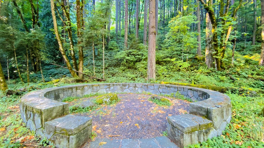 Photo: lamblukas, CC BY 2.0 (via Flickr)
Dog Mountain
~6 min drive
2.60-mile out-and-back trail to Dog Mountain summit with 1,403 ft gain

